3510 Saint Andrews Cir Unit 34 Lansing, MI 48911
Moores River Drive NeighborhoodEstimated Value: $365,000 - $498,000
4
Beds
3
Baths
2,300
Sq Ft
$194/Sq Ft
Est. Value
About This Home
This home is located at 3510 Saint Andrews Cir Unit 34, Lansing, MI 48911 and is currently estimated at $445,141, approximately $193 per square foot. 3510 Saint Andrews Cir Unit 34 is a home located in Ingham County with nearby schools including Averill Elementary School, Attwood School, and J.W. Sexton High School.
Ownership History
Date
Name
Owned For
Owner Type
Purchase Details
Closed on
Sep 28, 2011
Sold by
Maurer Richard K and Maurer Sonia R
Bought by
Maurer Richard K and Maurer Sonia R
Current Estimated Value
Purchase Details
Closed on
Jul 3, 2001
Sold by
Smith Bernice Roe
Bought by
Maurer Richard K and Maurer Sonia R
Home Financials for this Owner
Home Financials are based on the most recent Mortgage that was taken out on this home.
Original Mortgage
$237,700
Interest Rate
7.22%
Purchase Details
Closed on
May 1, 1995
Create a Home Valuation Report for This Property
The Home Valuation Report is an in-depth analysis detailing your home's value as well as a comparison with similar homes in the area
Home Values in the Area
Average Home Value in this Area
Purchase History
| Date | Buyer | Sale Price | Title Company |
|---|---|---|---|
| Maurer Richard K | -- | None Available | |
| Maurer Richard K | $300,000 | Midstate Title Company | |
| -- | $279,000 | -- |
Source: Public Records
Mortgage History
| Date | Status | Borrower | Loan Amount |
|---|---|---|---|
| Previous Owner | Maurer Richard K | $237,700 |
Source: Public Records
Tax History Compared to Growth
Tax History
| Year | Tax Paid | Tax Assessment Tax Assessment Total Assessment is a certain percentage of the fair market value that is determined by local assessors to be the total taxable value of land and additions on the property. | Land | Improvement |
|---|---|---|---|---|
| 2025 | $8,523 | $250,100 | $13,500 | $236,600 |
| 2024 | $69 | $235,700 | $13,500 | $222,200 |
| 2023 | $7,983 | $224,400 | $13,500 | $210,900 |
| 2022 | $7,179 | $204,700 | $12,500 | $192,200 |
| 2021 | $7,030 | $187,700 | $17,500 | $170,200 |
| 2020 | $6,989 | $177,700 | $17,500 | $160,200 |
| 2019 | $6,709 | $161,800 | $17,500 | $144,300 |
| 2018 | $6,275 | $136,700 | $17,500 | $119,200 |
| 2017 | $6,011 | $136,700 | $17,500 | $119,200 |
| 2016 | $5,748 | $124,800 | $17,500 | $107,300 |
| 2015 | $5,748 | $112,000 | $35,000 | $77,000 |
| 2014 | $5,748 | $105,000 | $2,495 | $102,505 |
Source: Public Records
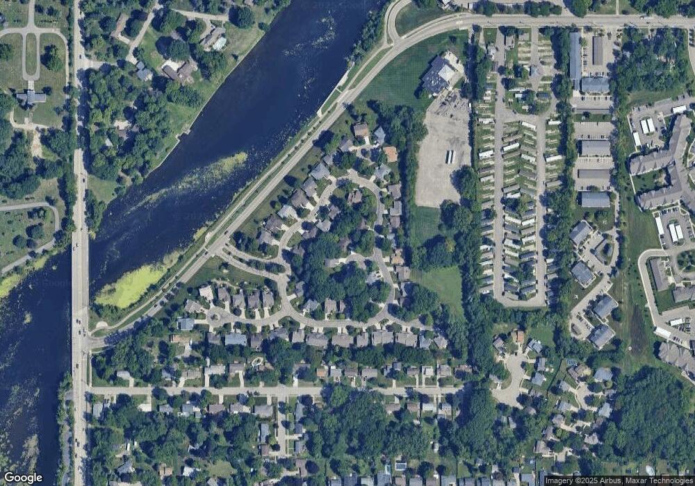
Map
Nearby Homes
- 3601 Muirfield Dr
- 3508 Muirfield Dr
- 3421 Troon Cir Unit 29
- 3614 Cooley Dr
- 3416 Cooley Dr
- 3425 Cooley Dr
- 3333 Moores River Dr Unit 812
- 3811 Cooley Dr
- 3510 Christine Dr
- 3310 W Mount Hope Ave
- 4.5 Locust Ln
- 2 Locust Ln
- 2838 Sunderland Rd
- 3600 Sandhurst Dr
- 2710 Bedford Rd
- 3214 Gingersnap Ln
- 2201 Pamela Place
- 2200 Rossiter Place
- 2800 S Waverly Hwy
- 2505 Hanover Dr
- 3522 Saint Andrews Cir Unit 33
- 3621 Muirfield Dr
- 3615 Muirfield Dr
- 3505 Saint Andrews Cir
- 3400 Oakmont Dr Unit 31
- 3502 Muirfield Dr Unit 21
- 3401 Oakmont Dr Unit 22
- 3536 Oakmont Dr Unit 60
- 3412 Oakmont Dr
- 3405 Oakmont Dr Unit 23
- 3405 Oakmont Dr
- 3516 Muirfield Dr
- 3542 Oakmont Dr Unit 59
- 3618 Muirfield Dr Unit 4
- 3548 Oakmont Dr Unit 58
- 3548 Oakmont Dr Unit 3548 Oakmont Dr.
- 3548 Oakmont Dr
- 3612 Muirfield Dr Unit 5