3510 Weiland Rd Imperial, MO 63052
Estimated Value: $359,000 - $501,000
--
Bed
--
Bath
3,460
Sq Ft
$121/Sq Ft
Est. Value
About This Home
This home is located at 3510 Weiland Rd, Imperial, MO 63052 and is currently estimated at $419,854, approximately $121 per square foot. 3510 Weiland Rd is a home located in Jefferson County with nearby schools including Seckman Elementary School, Seckman Middle School, and Seckman Senior High School.
Ownership History
Date
Name
Owned For
Owner Type
Purchase Details
Closed on
Mar 15, 2006
Sold by
Weiland Nick J and Weiland Faye A
Bought by
Weiland Nick J and Weiland Faye A
Current Estimated Value
Home Financials for this Owner
Home Financials are based on the most recent Mortgage that was taken out on this home.
Original Mortgage
$290,000
Interest Rate
6.21%
Mortgage Type
New Conventional
Purchase Details
Closed on
Oct 2, 2002
Sold by
Weiland Nick J and Weiland Faye A
Bought by
Weiland Nick J and Weiland Faye A
Home Financials for this Owner
Home Financials are based on the most recent Mortgage that was taken out on this home.
Original Mortgage
$190,000
Interest Rate
6.2%
Purchase Details
Closed on
May 7, 1998
Sold by
Weiland Nick J and Weiland Faye A
Bought by
Weiland Nick J and Weiland Faye A
Create a Home Valuation Report for This Property
The Home Valuation Report is an in-depth analysis detailing your home's value as well as a comparison with similar homes in the area
Home Values in the Area
Average Home Value in this Area
Purchase History
| Date | Buyer | Sale Price | Title Company |
|---|---|---|---|
| Weiland Nick J | -- | First American | |
| Weiland Nick J | -- | -- | |
| Weiland Nick J | -- | -- |
Source: Public Records
Mortgage History
| Date | Status | Borrower | Loan Amount |
|---|---|---|---|
| Closed | Weiland Nick J | $290,000 | |
| Closed | Weiland Nick J | $190,000 |
Source: Public Records
Tax History Compared to Growth
Tax History
| Year | Tax Paid | Tax Assessment Tax Assessment Total Assessment is a certain percentage of the fair market value that is determined by local assessors to be the total taxable value of land and additions on the property. | Land | Improvement |
|---|---|---|---|---|
| 2025 | $2,888 | $74,600 | $11,300 | $63,300 |
| 2024 | $2,888 | $42,400 | $11,300 | $31,100 |
| 2023 | $2,888 | $42,400 | $11,300 | $31,100 |
| 2022 | $2,885 | $42,400 | $11,300 | $31,100 |
| 2021 | $2,886 | $42,400 | $11,300 | $31,100 |
| 2020 | $2,805 | $38,500 | $10,300 | $28,200 |
| 2019 | $2,803 | $38,500 | $10,300 | $28,200 |
| 2018 | $2,778 | $38,500 | $10,300 | $28,200 |
| 2017 | $2,685 | $38,500 | $10,300 | $28,200 |
| 2016 | $2,506 | $35,900 | $10,300 | $25,600 |
| 2015 | $2,387 | $35,900 | $10,300 | $25,600 |
| 2013 | $2,387 | $34,000 | $9,300 | $24,700 |
Source: Public Records
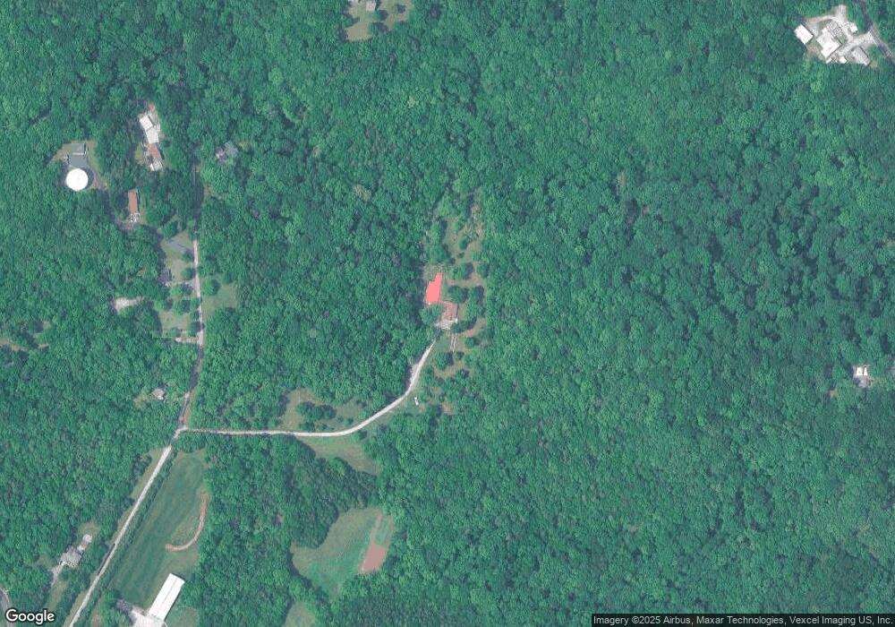
Map
Nearby Homes
- 5904 Kneff Rd
- 6013 Kassel Ct
- 6113 Courtney Way
- 6117 Courtney Way
- 1011 Frisco Hollows Rd
- 3653 Morgan Way
- 2928 Glaize Creek Dr
- 6389 Daisy Ln
- 1008 Baypointe Dr
- 3507 Red Oak Dr
- 3539 Red Oak Dr
- 3811 Karen Meadow Ct
- 3518 Red Oak Dr
- 158 Long Oaks Dr
- 1 Sydney @ Arlington Heights
- 143 Long Oaks Dr
- 2532 Breakwater Dr
- 0 Antonia Estates - Blake II Unit MAR24055163
- 0 Antonia Estates - Kayla Unit MAR24055188
- 0 Antonia Estates - Connor Unit MAR24055157
- 3490 Weber Rd
- 3495 Weber Rd
- 3549 Weber Rd
- 6104 Kneff Rd
- 3491 Weber Rd
- 3479 Weber Rd
- 3150 Frisco Hill Rd
- 6108 Kneff Rd
- 2975 Frisco Hill Rd
- 3046 Frisco Hill Rd
- 6020 Kneff Rd
- 6060 Kneff Rd
- 3002 Frisco Hill Rd
- 3491 Possum Ridge Dr
- 3491 Possum Ridge Dr
- 3485 Possum Ridge Dr
- 3040 Frisco Hill Rd
- 3495 Possum Ridge Dr
- 0 Possum Ridge Unit 80027279
- 0 Possum Ridge Unit 80056411