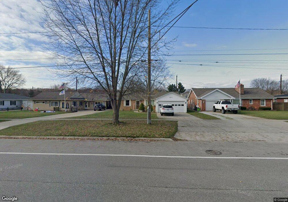
3511 10th Ave Port Huron, MI 48060
Estimated Value: $191,000 - $243,000
3
Beds
2
Baths
1,460
Sq Ft
$151/Sq Ft
Est. Value
About This Home
This home is located at 3511 10th Ave, Port Huron, MI 48060 and is currently estimated at $220,485, approximately $151 per square foot. 3511 10th Ave is a home located in St. Clair County with nearby schools including Garfield Elementary School, Holland Woods Middle School, and Port Huron Northern High School.
Ownership History
Date
Name
Owned For
Owner Type
Purchase Details
Closed on
Nov 26, 2012
Sold by
Magda Roger
Bought by
Magda Charlene
Current Estimated Value
Purchase Details
Closed on
Dec 15, 2004
Sold by
Grimm David and Grimm Julie
Bought by
Magda Roger and Magda Charlene
Create a Home Valuation Report for This Property
The Home Valuation Report is an in-depth analysis detailing your home's value as well as a comparison with similar homes in the area
Home Values in the Area
Average Home Value in this Area
Purchase History
| Date | Buyer | Sale Price | Title Company |
|---|---|---|---|
| Magda Charlene | -- | None Available | |
| Magda Roger | $100,000 | Metropolitan Title Company |
Source: Public Records
Tax History Compared to Growth
Tax History
| Year | Tax Paid | Tax Assessment Tax Assessment Total Assessment is a certain percentage of the fair market value that is determined by local assessors to be the total taxable value of land and additions on the property. | Land | Improvement |
|---|---|---|---|---|
| 2025 | $2,230 | $88,600 | $0 | $0 |
| 2024 | $1,897 | $81,200 | $0 | $0 |
| 2023 | $1,792 | $72,400 | $0 | $0 |
| 2022 | $1,882 | $61,200 | $0 | $0 |
| 2021 | $1,787 | $57,600 | $0 | $0 |
| 2020 | $1,807 | $55,300 | $55,300 | $0 |
| 2019 | $1,775 | $48,500 | $0 | $0 |
| 2018 | $1,735 | $48,500 | $0 | $0 |
| 2017 | $1,550 | $44,300 | $0 | $0 |
| 2016 | $1,325 | $44,300 | $0 | $0 |
| 2015 | $1,300 | $39,300 | $39,300 | $0 |
| 2014 | $1,300 | $36,300 | $36,300 | $0 |
| 2013 | -- | $35,700 | $0 | $0 |
Source: Public Records
Map
Nearby Homes
- 1424 Hazelwood Ln
- 3321 Stone St
- 3214 Poplar St
- 1020 Sanborn St
- 3455 Gratiot Ave
- 1202 Palmer Ct
- 2913 11th Ave
- 3208 Mount Vernon Rd
- 1531 Robinson St
- 3419 Riverside Dr
- 1434 Schumaker St
- 1218 Garfield St
- 2835 17th Ave
- 2812 19th Ave
- 1116 Hancock St
- 3515 Strawberry Ln
- 2857 Riverside Dr
- 2215 Hancock St
- 2419 Cherry St
- 2400 Stone St Unit 2414
- 3519 10th Ave
- 3505 10th Ave
- 3525 10th Ave
- 3534 Shenandoah Ave
- 3471 10th Ave
- 3535 10th Ave
- 3522 Shenandoah Ave
- 3512 Shenandoah Ave
- 3518 10th Ave
- 3516 10th Ave
- 3504 Shenandoah Ave
- 3432 Shenandoah Ave
- 3478 10th Ave
- 3470 10th Ave
- 3459 10th Ave
- 3541 10th Ave
- 1306 Briarwood Dr
- 3543 10th Ave
- 3430 Shenandoah Ave
- 1305 Briarwood Dr