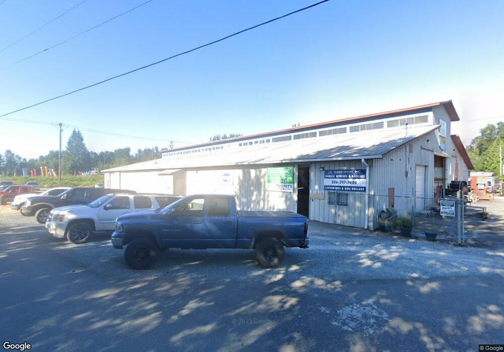
3511 136th St NE Marysville, WA 98271
Smokey Point NeighborhoodEstimated Value: $2,678,582
--
Bed
2
Baths
20,504
Sq Ft
$131/Sq Ft
Est. Value
About This Home
This home is located at 3511 136th St NE, Marysville, WA 98271 and is currently estimated at $2,678,582, approximately $130 per square foot. 3511 136th St NE is a home located in Snohomish County with nearby schools including Legacy School.
Ownership History
Date
Name
Owned For
Owner Type
Purchase Details
Closed on
Dec 26, 2018
Sold by
Alexander F Cole Family Llc
Bought by
Flyer Properties Llc
Current Estimated Value
Home Financials for this Owner
Home Financials are based on the most recent Mortgage that was taken out on this home.
Original Mortgage
$1,360,000
Outstanding Balance
$1,202,887
Interest Rate
4.9%
Mortgage Type
Unknown
Estimated Equity
$1,475,695
Create a Home Valuation Report for This Property
The Home Valuation Report is an in-depth analysis detailing your home's value as well as a comparison with similar homes in the area
Home Values in the Area
Average Home Value in this Area
Purchase History
| Date | Buyer | Sale Price | Title Company |
|---|---|---|---|
| Flyer Properties Llc | $1,600,000 | Chicago Title |
Source: Public Records
Mortgage History
| Date | Status | Borrower | Loan Amount |
|---|---|---|---|
| Open | Flyer Properties Llc | $1,360,000 |
Source: Public Records
Tax History Compared to Growth
Tax History
| Year | Tax Paid | Tax Assessment Tax Assessment Total Assessment is a certain percentage of the fair market value that is determined by local assessors to be the total taxable value of land and additions on the property. | Land | Improvement |
|---|---|---|---|---|
| 2025 | $14,327 | $1,836,000 | $656,600 | $1,179,400 |
| 2024 | $14,327 | $1,800,000 | $647,600 | $1,152,400 |
| 2023 | $10,731 | $1,797,000 | $526,100 | $1,270,900 |
| 2022 | $17,810 | $1,762,000 | $458,200 | $1,303,800 |
| 2020 | $16,541 | $1,497,000 | $436,900 | $1,060,100 |
| 2019 | $12,445 | $1,361,000 | $319,600 | $1,041,400 |
| 2018 | $13,119 | $1,134,000 | $310,600 | $823,400 |
| 2017 | $11,880 | $1,050,000 | $310,600 | $739,400 |
| 2016 | $13,157 | $1,117,000 | $301,700 | $815,300 |
| 2015 | $18,645 | $1,128,000 | $301,700 | $826,300 |
| 2013 | $18,248 | $1,375,000 | $398,100 | $976,900 |
Source: Public Records
Map
Nearby Homes
- 3015 142nd St NE
- 4622 135th St NE
- 13513 47th Ave NE
- 4803 135th Place NE
- 15861 26th Ave NE Unit 12127
- 14727 43rd Ave NE Unit 105
- 14727 43rd Ave NE Unit 95
- 14727 43rd Ave NE Unit 126
- 14727 43rd Ave NE Unit 16
- 14727 43rd Ave NE Unit 100
- 5008 138th St NE
- 4331 125th St NE
- 5026 135th Place NE
- 12627 48th Ave NE
- 5018 130th Place NE
- 3827 120th Place NE
- 14220 51st Dr NE
- 4330 122nd Place NE
- 5130 130th Place NE
- 14905 45th Ave NE Unit 217
- 3505 136th St NE
- 13733 Smokey Point Blvd
- 13917 Smokey Point Blvd
- 3803 136th St NE
- 40 136th St NE
- 39 136th St NE
- 3821 136th St NE
- 13326 38th Ave NE
- 13421 39th Ave NE
- 0 Smokey Point Blvd Unit 28020346
- 3912 134th St NE
- 4001 134th St NE
- 3803 132nd Place NE Unit 105-4
- 3803 132nd Place NE Unit 105
- 3803 132nd Place NE Unit 105-6
- 3803 132nd Place NE Unit 106-2
- 3803 132nd Place NE Unit 106-5
- 3803 132nd Place NE Unit 106-1
- 3803 132nd Place NE Unit 106-3
- 3803 132nd Place NE