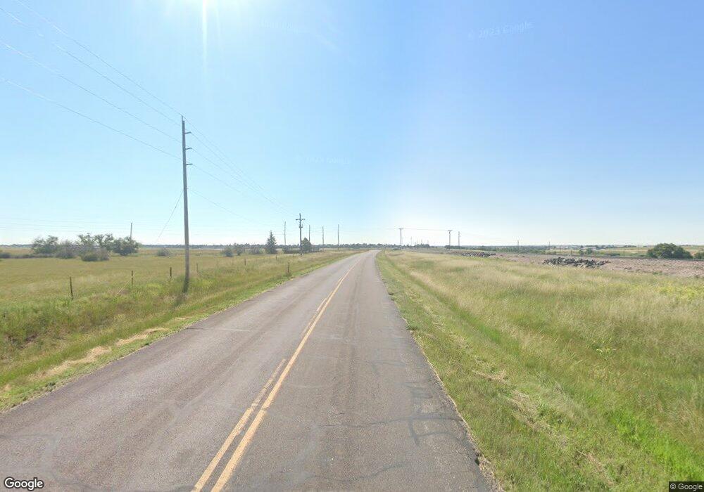
3511 Experimental Farm Rd Cheyenne, WY 82009
Estimated Value: $490,000 - $594,000
--
Bed
--
Bath
1,235
Sq Ft
$430/Sq Ft
Est. Value
About This Home
This home is located at 3511 Experimental Farm Rd, Cheyenne, WY 82009 and is currently estimated at $531,514, approximately $430 per square foot. 3511 Experimental Farm Rd is a home located in Laramie County with nearby schools including Saddle Ridge Elementary School, Carey Junior High School, and East High School.
Ownership History
Date
Name
Owned For
Owner Type
Purchase Details
Closed on
Jan 22, 2010
Sold by
Hinker Gregory Alan and Hinker Llana S
Bought by
Eustace Dale P and Eustace Francine D
Current Estimated Value
Home Financials for this Owner
Home Financials are based on the most recent Mortgage that was taken out on this home.
Original Mortgage
$238,500
Outstanding Balance
$155,633
Interest Rate
4.83%
Mortgage Type
New Conventional
Estimated Equity
$375,881
Create a Home Valuation Report for This Property
The Home Valuation Report is an in-depth analysis detailing your home's value as well as a comparison with similar homes in the area
Home Values in the Area
Average Home Value in this Area
Purchase History
| Date | Buyer | Sale Price | Title Company |
|---|---|---|---|
| Eustace Dale P | -- | None Available |
Source: Public Records
Mortgage History
| Date | Status | Borrower | Loan Amount |
|---|---|---|---|
| Open | Eustace Dale P | $238,500 |
Source: Public Records
Tax History Compared to Growth
Tax History
| Year | Tax Paid | Tax Assessment Tax Assessment Total Assessment is a certain percentage of the fair market value that is determined by local assessors to be the total taxable value of land and additions on the property. | Land | Improvement |
|---|---|---|---|---|
| 2025 | $2,462 | $28,649 | $4,134 | $24,515 |
| 2024 | $2,462 | $36,654 | $5,300 | $31,354 |
| 2023 | $2,449 | $36,527 | $5,300 | $31,227 |
| 2022 | $2,253 | $32,811 | $5,300 | $27,511 |
| 2021 | $1,923 | $27,630 | $3,524 | $24,106 |
| 2020 | $1,768 | $26,199 | $3,524 | $22,675 |
| 2019 | $1,692 | $25,173 | $3,524 | $21,649 |
| 2018 | $1,600 | $24,050 | $3,179 | $20,871 |
| 2017 | $1,359 | $20,225 | $3,179 | $17,046 |
| 2016 | $1,330 | $19,796 | $3,027 | $16,769 |
| 2015 | $1,347 | $20,036 | $3,027 | $17,009 |
| 2014 | $1,297 | $19,156 | $2,535 | $16,621 |
Source: Public Records
Map
Nearby Homes
- 1258 War Admiral Rd
- 3578 Road 212
- TBD Vera Ln
- 3443 Road 212
- 1243 Affirmed Rd
- 1111 Verlan Way
- 3456 Road 212
- 17415 Anna Loop
- 12611 Glencoe Dr
- 3491 Stampede Ranch Rd
- 3584 Moonstone Trail
- Tract 1 Broken-T Trail
- 970 Kummer Ranch Rd
- 11803 Glencoe Dr
- 8200 Broken T Trail
- 1470 Earhart Dr
- 11107 Stadel Rd
- 3636 Sky Train Dr
- 3684 Sky Train Dr
- 3666 Aviator Ct
- 3511 Road 212
- 3519 Experimental Farm Rd
- 3506 Road 212
- 1191 Road 135
- 3518 Experimental Farm Rd
- 3525 Road 212
- 1183 Road 135
- 1182 Kaycee Place
- 5304 Kaycee Place
- 3528 Burns Ave
- 3528 Experimental Farm Rd
- 3531 Experimental Farm Rd
- 1174 Kaycee Place
- 3528 Road 212
- 1173 Road 135
- 1177 Kaycee Place
- 3517 Whirlaway Rd
- 3505 Whirlaway Rd
- 3534 Burns Ave
- 1168 Kaycee Place
