Estimated Value: $403,000 - $463,225
3
Beds
1
Bath
2,323
Sq Ft
$192/Sq Ft
Est. Value
About This Home
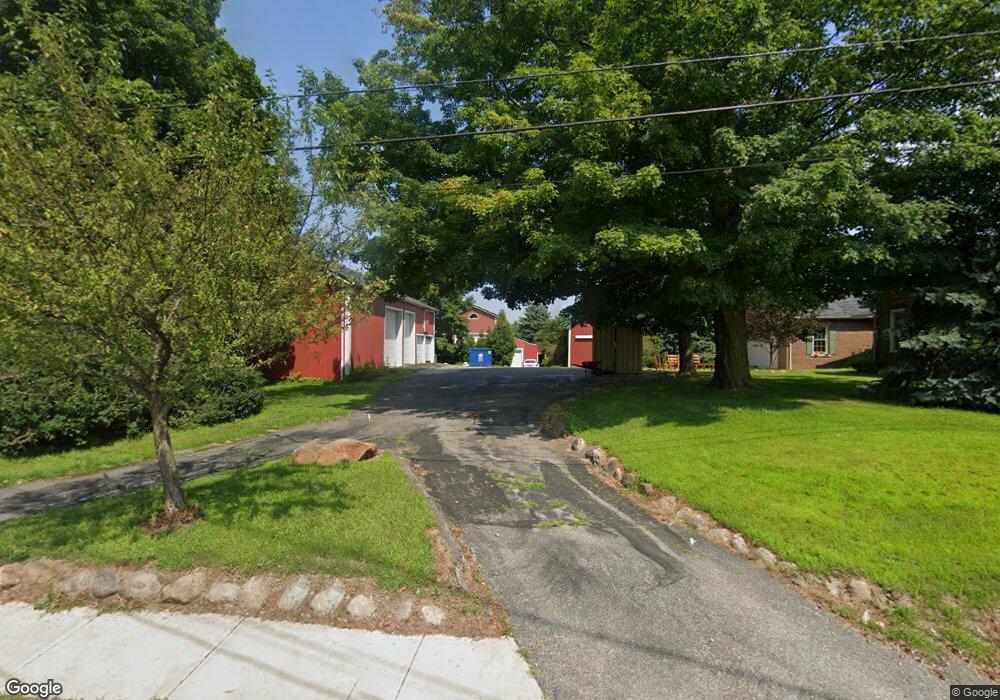
This home is located at 3511 Long Rd, Avon, OH 44011 and is currently estimated at $446,056, approximately $192 per square foot. 3511 Long Rd is a home located in Lorain County with nearby schools including Avon Heritage South Elementary School, Avon East Elementary School, and Avon Middle School.
Ownership History
Date
Name
Owned For
Owner Type
Purchase Details
Closed on
Jul 29, 2016
Sold by
Greaney William B and Greaney Lucy A
Bought by
Greaney William B and Greaney Lucy A
Current Estimated Value
Purchase Details
Closed on
Jul 25, 2016
Sold by
Rink Charles E
Bought by
Greaney William B and Greaney Lucy A
Purchase Details
Closed on
Nov 22, 2013
Sold by
Misencik Joseph A and Misencik Marilyn T
Bought by
Greaney William B and Greaney Lucy A
Home Financials for this Owner
Home Financials are based on the most recent Mortgage that was taken out on this home.
Original Mortgage
$159,951
Interest Rate
3.37%
Mortgage Type
FHA
Purchase Details
Closed on
Jan 3, 2001
Sold by
Hricovec William and Hricovec Connie
Bought by
Misencik Joseph A and Misencik Marilyn T
Purchase Details
Closed on
Oct 31, 2000
Sold by
Hricevec Dorothy H
Bought by
Misencik Joseph A and Misencik Marilyn T
Create a Home Valuation Report for This Property
The Home Valuation Report is an in-depth analysis detailing your home's value as well as a comparison with similar homes in the area
Home Values in the Area
Average Home Value in this Area
Purchase History
| Date | Buyer | Sale Price | Title Company |
|---|---|---|---|
| Greaney William B | -- | -- | |
| Greaney William B | -- | -- | |
| Greaney William B | $200,000 | Old Republic National Title | |
| Misencik Joseph A | $40,200 | -- | |
| Misencik Joseph A | $40,200 | -- |
Source: Public Records
Mortgage History
| Date | Status | Borrower | Loan Amount |
|---|---|---|---|
| Previous Owner | Greaney William B | $159,951 |
Source: Public Records
Tax History
| Year | Tax Paid | Tax Assessment Tax Assessment Total Assessment is a certain percentage of the fair market value that is determined by local assessors to be the total taxable value of land and additions on the property. | Land | Improvement |
|---|---|---|---|---|
| 2024 | $8,899 | $176,929 | $40,985 | $135,944 |
| 2023 | $8,891 | $157,087 | $34,608 | $122,479 |
| 2022 | $8,809 | $157,087 | $34,608 | $122,479 |
| 2021 | $8,826 | $157,087 | $34,608 | $122,479 |
| 2020 | $8,159 | $136,250 | $30,020 | $106,230 |
| 2019 | $7,999 | $136,250 | $30,020 | $106,230 |
| 2018 | $6,606 | $136,250 | $30,020 | $106,230 |
| 2017 | $5,788 | $98,960 | $25,310 | $73,650 |
| 2016 | $0 | $98,960 | $25,310 | $73,650 |
Source: Public Records
Map
Nearby Homes
- 3350 Long Rd
- 3147 Fairview Dr
- 38841 Detroit Rd
- 3473 Moon Rd
- 38488 Briar Lakes Dr
- 3790 Stoney Ridge Rd
- 3424 Stoney Ridge Rd
- 3157 Orr's Orchard
- 37384 Detroit Rd
- 38880 Amberwood Dr
- 38145 French Creek Rd
- 36420 S Park Dr
- 4528 Secretariat Ct
- 38690 Thorton Ln
- 0 Springfield Dr
- 4512 Belmont Dr
- 38715 Berkshire Ave
- 2430 Woodhawk Ln
- 37802 Quail Hollow
- 36301 Montrose Way
Your Personal Tour Guide
Ask me questions while you tour the home.