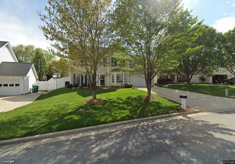
3512 Bent Trace Dr High Point, NC 27265
Bent Tree NeighborhoodEstimated Value: $327,000 - $354,000
3
Beds
3
Baths
1,988
Sq Ft
$172/Sq Ft
Est. Value
About This Home
This home is located at 3512 Bent Trace Dr, High Point, NC 27265 and is currently estimated at $342,661, approximately $172 per square foot. 3512 Bent Trace Dr is a home located in Guilford County with nearby schools including Southwest Elementary School, Southwest Guilford Middle School, and Southwest Guilford High School.
Ownership History
Date
Name
Owned For
Owner Type
Purchase Details
Closed on
May 30, 2006
Sold by
Blue Charles D and Blue Anita S
Bought by
Long Dale R and Long Mary G
Current Estimated Value
Home Financials for this Owner
Home Financials are based on the most recent Mortgage that was taken out on this home.
Original Mortgage
$137,000
Outstanding Balance
$79,821
Interest Rate
6.41%
Mortgage Type
Purchase Money Mortgage
Estimated Equity
$262,840
Purchase Details
Closed on
Jan 30, 1998
Sold by
Horton D R Inc Greensboro
Bought by
Blue Charles D and Blue Anita S
Home Financials for this Owner
Home Financials are based on the most recent Mortgage that was taken out on this home.
Original Mortgage
$161,323
Interest Rate
7.07%
Mortgage Type
VA
Create a Home Valuation Report for This Property
The Home Valuation Report is an in-depth analysis detailing your home's value as well as a comparison with similar homes in the area
Home Values in the Area
Average Home Value in this Area
Purchase History
| Date | Buyer | Sale Price | Title Company |
|---|---|---|---|
| Long Dale R | $185,000 | None Available | |
| Blue Charles D | $157,000 | -- |
Source: Public Records
Mortgage History
| Date | Status | Borrower | Loan Amount |
|---|---|---|---|
| Open | Long Dale R | $137,000 | |
| Previous Owner | Blue Charles D | $161,323 |
Source: Public Records
Tax History Compared to Growth
Tax History
| Year | Tax Paid | Tax Assessment Tax Assessment Total Assessment is a certain percentage of the fair market value that is determined by local assessors to be the total taxable value of land and additions on the property. | Land | Improvement |
|---|---|---|---|---|
| 2025 | $3,729 | $270,600 | $60,000 | $210,600 |
| 2024 | $3,729 | $270,600 | $60,000 | $210,600 |
| 2023 | $3,729 | $270,600 | $60,000 | $210,600 |
| 2022 | $3,648 | $270,600 | $60,000 | $210,600 |
| 2021 | $2,424 | $175,900 | $34,000 | $141,900 |
| 2020 | $2,424 | $175,900 | $34,000 | $141,900 |
| 2019 | $2,424 | $175,900 | $0 | $0 |
| 2018 | $2,412 | $175,900 | $0 | $0 |
| 2017 | $2,412 | $175,900 | $0 | $0 |
| 2016 | $2,414 | $172,100 | $0 | $0 |
| 2015 | $2,427 | $172,100 | $0 | $0 |
| 2014 | $2,468 | $172,100 | $0 | $0 |
Source: Public Records
Map
Nearby Homes
- 3504 Bent Trace Dr
- 3525 Covent Oak Ct
- Richmond Plan at Williard Place
- Cameron Plan at Williard Place
- Southport Plan at Williard Place
- Columbia Plan at Williard Place
- Bailey Plan at Williard Place
- 3273 Alyssa Way
- 717 Piedmont Crossing Dr
- 3007 Maple Branch Dr
- 4485 Alderny Cir
- 4710 Willowstone Dr
- 4712 Willowstone Dr
- 4714 Willowstone Dr
- 4716 Willowstone Dr
- 4722 Willowstone Dr
- 4711 Willowstone Dr
- 4713 Willowstone Dr
- 4715 Willowstone Dr
- 4408 Alderny Cir
- 3508 Bent Trace Dr
- 3516 Bent Trace Dr
- 3509 Covent Oak Ct
- 3513 Covent Oak Ct
- 3505 Covent Oak Ct
- 3517 Covent Oak Ct
- 3500 Bent Trace Dr
- 3521 Covent Oak Ct
- 3509 Bent Trace Dr
- 3505 Bent Trace Dr
- 3513 Bent Trace Dr
- 3501 Covent Oak Ct
- 3529 Covent Oak Ct
- 3533 Covent Oak Ct
- 3517 Bent Trace Dr
- 3500 Covent Oak Ct
- 3516 Covent Oak Ct
- 3512 Covent Oak Ct
- 3521 Bent Trace Dr
- 3520 Covent Oak Ct