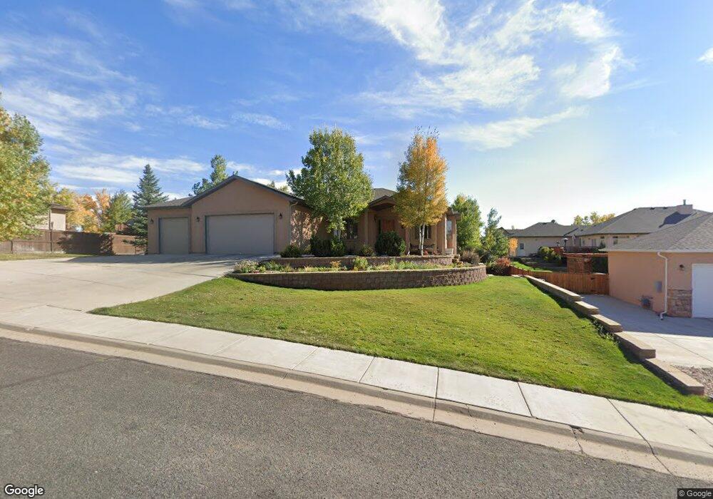
3512 Hayford Ave Laramie, WY 82072
Estimated Value: $569,000 - $775,426
5
Beds
4
Baths
1,899
Sq Ft
$354/Sq Ft
Est. Value
About This Home
This home is located at 3512 Hayford Ave, Laramie, WY 82072 and is currently estimated at $672,857, approximately $354 per square foot. 3512 Hayford Ave is a home located in Albany County with nearby schools including Indian Paintbrush Elementary School, Laramie Middle School, and Laramie High School.
Ownership History
Date
Name
Owned For
Owner Type
Purchase Details
Closed on
May 31, 2019
Sold by
Pearce Michael W and Pearce Becky R
Bought by
Moscary George A and Gomez Victoria A
Current Estimated Value
Purchase Details
Closed on
Sep 6, 2005
Sold by
Visocky John F and Visocky Nancy L
Bought by
Pearce Michael W and Pearce Becky R
Home Financials for this Owner
Home Financials are based on the most recent Mortgage that was taken out on this home.
Original Mortgage
$359,650
Interest Rate
5.78%
Mortgage Type
New Conventional
Create a Home Valuation Report for This Property
The Home Valuation Report is an in-depth analysis detailing your home's value as well as a comparison with similar homes in the area
Home Values in the Area
Average Home Value in this Area
Purchase History
| Date | Buyer | Sale Price | Title Company |
|---|---|---|---|
| Moscary George A | -- | None Available | |
| Pearce Michael W | -- | -- |
Source: Public Records
Mortgage History
| Date | Status | Borrower | Loan Amount |
|---|---|---|---|
| Previous Owner | Pearce Michael W | $359,650 |
Source: Public Records
Tax History Compared to Growth
Tax History
| Year | Tax Paid | Tax Assessment Tax Assessment Total Assessment is a certain percentage of the fair market value that is determined by local assessors to be the total taxable value of land and additions on the property. | Land | Improvement |
|---|---|---|---|---|
| 2025 | $4,709 | $49,673 | $6,748 | $42,925 |
| 2024 | $4,709 | $64,503 | $9,471 | $55,032 |
| 2023 | $4,622 | $63,311 | $8,523 | $54,788 |
| 2022 | $4,412 | $60,440 | $8,356 | $52,084 |
| 2021 | $3,679 | $50,403 | $7,805 | $42,598 |
| 2020 | $3,414 | $46,764 | $8,150 | $38,614 |
| 2019 | $2,716 | $37,209 | $8,191 | $29,018 |
| 2018 | $2,722 | $37,286 | $8,191 | $29,095 |
| 2017 | $2,709 | $37,114 | $7,849 | $29,265 |
| 2016 | $2,562 | $35,090 | $7,849 | $27,241 |
| 2015 | $2,545 | $34,868 | $7,030 | $27,838 |
| 2014 | $2,502 | $34,273 | $0 | $0 |
Source: Public Records
Map
Nearby Homes
- TBD Hayford Ave
- 1651 Fox Ridge Rd
- 1772 Eaglecrest Ct
- 3734 Reynolds St
- 1071 Duna Dr
- 1062 Bonita Dr
- 2919 Plains St
- 4106 Kiowa Dr
- 2719 Nighthawk Dr
- 2611 Reynolds St Unit A
- 1050 N Indian Hills Dr
- 4324 Pueblo Dr
- 4341 E Crow Dr
- 4421 Shoshone Dr
- 1766 N 23rd St
- 2122 E Curtis St
- 1554 Henry Dr
- 1150 N 18th St
- 1520 W Hill Rd
- 2167 N 16th St
- 3416 Hayford Ave
- 3509 Reynolds St
- 1574 Frontera Dr
- 3505 Hayford Ave
- 3415 Reynolds St
- 1562 Frontera Dr
- 3517 Hayford Ave
- 3410 Hayford Ave
- 3405 Reynolds St
- Lot 5B Hayford Ave
- 3410 Mammoth Ct
- 3416 Mammoth Ct
- 3508 Reynolds St
- 3604 Hayford Ave
- 3402 Hayford Ave
- 3404 Mammoth Ct
- 3607 Reynolds St
- 3412 Reynolds St
- 1482 Frontera Dr
- 3321 Reynolds St