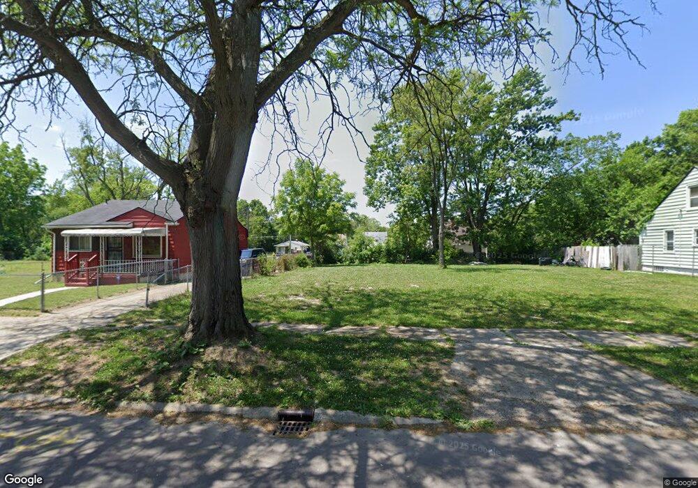
3513 Sterling St Flint, MI 48504
Sterling and Myrtle NeighborhoodEstimated Value: $11,708 - $87,000
3
Beds
1
Bath
929
Sq Ft
$58/Sq Ft
Est. Value
About This Home
This home is located at 3513 Sterling St, Flint, MI 48504 and is currently estimated at $53,903, approximately $58 per square foot. 3513 Sterling St is a home located in Genesee County with nearby schools including Brownell STEM Academy, Greater Heights Academy, and Eagle's Nest Academy.
Ownership History
Date
Name
Owned For
Owner Type
Purchase Details
Closed on
Jun 5, 2025
Sold by
Genesee County Land Bank Authority
Bought by
Johnson Marques
Current Estimated Value
Purchase Details
Closed on
Nov 2, 2012
Sold by
Stewart Love I
Bought by
Staggersdodson John
Purchase Details
Closed on
Dec 21, 2011
Sold by
Genesee County Treasurer
Bought by
Genesee County Land Bank
Purchase Details
Closed on
Sep 8, 2008
Sold by
Iverson Investments Inc
Bought by
Staggersdodson John and Stewart Love I
Purchase Details
Closed on
Apr 16, 2008
Sold by
Va
Bought by
Iverson Investments Inc
Create a Home Valuation Report for This Property
The Home Valuation Report is an in-depth analysis detailing your home's value as well as a comparison with similar homes in the area
Home Values in the Area
Average Home Value in this Area
Purchase History
| Date | Buyer | Sale Price | Title Company |
|---|---|---|---|
| Johnson Marques | $800 | None Listed On Document | |
| Johnson Marques | $800 | None Listed On Document | |
| Staggersdodson John | -- | None Available | |
| Genesee County Land Bank | -- | None Available | |
| Staggersdodson John | $5,900 | None Available | |
| Iverson Investments Inc | -- | Andover Title & Escrow Agenc |
Source: Public Records
Tax History
| Year | Tax Paid | Tax Assessment Tax Assessment Total Assessment is a certain percentage of the fair market value that is determined by local assessors to be the total taxable value of land and additions on the property. | Land | Improvement |
|---|---|---|---|---|
| 2025 | -- | $0 | $0 | $0 |
| 2024 | -- | $0 | $0 | $0 |
| 2023 | -- | $0 | $0 | $0 |
| 2022 | $0 | $0 | $0 | $0 |
| 2021 | $0 | $0 | $0 | $0 |
| 2020 | $0 | $0 | $0 | $0 |
| 2019 | $0 | $0 | $0 | $0 |
| 2018 | $0 | $0 | $0 | $0 |
| 2017 | $0 | $0 | $0 | $0 |
| 2016 | $0 | $0 | $0 | $0 |
| 2015 | -- | $0 | $0 | $0 |
| 2014 | -- | $0 | $0 | $0 |
| 2012 | -- | $0 | $0 | $0 |
Source: Public Records
Map
Nearby Homes
- 3722 Sterling St
- 1102 Pasadena Ave
- 3207 Milbourne Ave
- 4013 Sterling St
- 3517 Leerda St
- 3505 Leerda St
- 3413 Leerda St
- 3918 Trumbull Ave
- 3808 Comstock Ave
- 3422 Race St
- 3506 Brownell Blvd
- 3101 Brynmawr Place
- 1402 W Dartmouth St
- 929 W Genesee St
- 2907 Trumbull Ave
- 4110 Leerda St
- 1521 W Dartmouth St
- 3710 Kellar Ave
- 4008 Winona St
- 3617 Kellar Ave
- 3509 Sterling St
- 3517 Sterling St
- 3505 Sterling St
- 3521 Sterling St
- 3501 Sterling St
- 3514 Forest Hill Ave
- 3602 Forest Hill Ave
- 3601 Sterling St
- 3606 Forest Hill Ave
- 3514 Sterling St
- 3510 Sterling St
- 3425 Sterling St
- 3518 Sterling St
- 3506 Forest Hill Ave
- 3610 Forest Hill Ave
- 3522 Sterling St
- 3506 Sterling St
- 3602 Sterling St
- 3421 Sterling St
- 3614 Forest Hill Ave
Your Personal Tour Guide
Ask me questions while you tour the home.