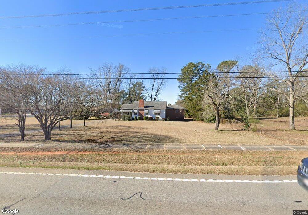
3514 Highway 42 Locust Grove, GA 30248
Estimated Value: $243,150 - $767,000
3
Beds
2
Baths
1,623
Sq Ft
$251/Sq Ft
Est. Value
About This Home
This home is located at 3514 Highway 42, Locust Grove, GA 30248 and is currently estimated at $408,038, approximately $251 per square foot. 3514 Highway 42 is a home located in Henry County with nearby schools including Locust Grove Elementary School, Locust Grove Middle School, and Locust Grove High School.
Ownership History
Date
Name
Owned For
Owner Type
Purchase Details
Closed on
Sep 8, 2025
Sold by
Lindsey Ruth Trust
Bought by
Lindsey Ruth Trust and Woodford Teri Tr
Current Estimated Value
Purchase Details
Closed on
May 25, 2023
Sold by
Woodford Teri L
Bought by
Lindsey Ruth T
Purchase Details
Closed on
Feb 3, 2023
Sold by
Lindsey Ruth T
Bought by
Woodford Teri L and Lindsey William N
Purchase Details
Closed on
Sep 30, 2008
Sold by
Lindsey William N
Bought by
Lindsey Ruth T
Create a Home Valuation Report for This Property
The Home Valuation Report is an in-depth analysis detailing your home's value as well as a comparison with similar homes in the area
Home Values in the Area
Average Home Value in this Area
Purchase History
| Date | Buyer | Sale Price | Title Company |
|---|---|---|---|
| Lindsey Ruth Trust | -- | -- | |
| Lindsey Ruth T | -- | -- | |
| Woodford Teri L | -- | -- | |
| Lindsey Ruth T | -- | -- |
Source: Public Records
Tax History Compared to Growth
Tax History
| Year | Tax Paid | Tax Assessment Tax Assessment Total Assessment is a certain percentage of the fair market value that is determined by local assessors to be the total taxable value of land and additions on the property. | Land | Improvement |
|---|---|---|---|---|
| 2025 | $671 | $83,200 | $16,440 | $66,760 |
| 2024 | $671 | $85,680 | $14,960 | $70,720 |
| 2023 | $186 | $80,800 | $14,400 | $66,400 |
| 2022 | $337 | $67,800 | $13,280 | $54,520 |
| 2021 | $339 | $55,960 | $11,400 | $44,560 |
| 2020 | $339 | $48,800 | $10,720 | $38,080 |
| 2019 | $353 | $44,720 | $10,200 | $34,520 |
| 2018 | $0 | $40,480 | $9,400 | $31,080 |
| 2016 | $298 | $35,280 | $7,640 | $27,640 |
| 2015 | -- | $28,000 | $8,360 | $19,640 |
| 2014 | -- | $26,240 | $8,360 | $17,880 |
Source: Public Records
Map
Nearby Homes
- 1129 Abundance Dr
- 1141 Abundance Dr
- 700 Patriots Point St
- 220 Umber Rd
- 733 Myrica Ave
- 417 Hazel Dr
- 409 Hazel Dr
- 421 Hazel Dr
- 1321 Deutz Dr
- 23 Club Dr
- 708 Curb Ct
- 648 Kimberwick Dr
- 107 Club Dr
- 14 Peeksville Rd
- 155 Club Dr
- 32 Peeksville Rd
- 0 Courtney Ct Unit 10432404
- Roswell Plan at Peeksville Landing
- Oakland Plan at Peeksville Landing
- Portland Plan at Peeksville Landing
- 3528 Highway 42
- 0 Brown Ave Unit 8122930
- 0 Brown Ave Unit 7520161
- 0 Brown Ave Unit 7389921
- 0 Brown Ave
- 11 Brown Ave
- 3536 Georgia 42
- 3536 Highway 42
- 339 Jackson St
- 3550 Highway 42
- 4989 Bill Garner Pkwy
- 321 Jackson St
- N N Jackson St
- 377 Jackson St
- 5035 Bill Gardner Pkwy
- 43 Brown Ave
- 3570 Highway 42 S
- 57 Brown Ave
- 281 Jackson St
- 407 Jackson St