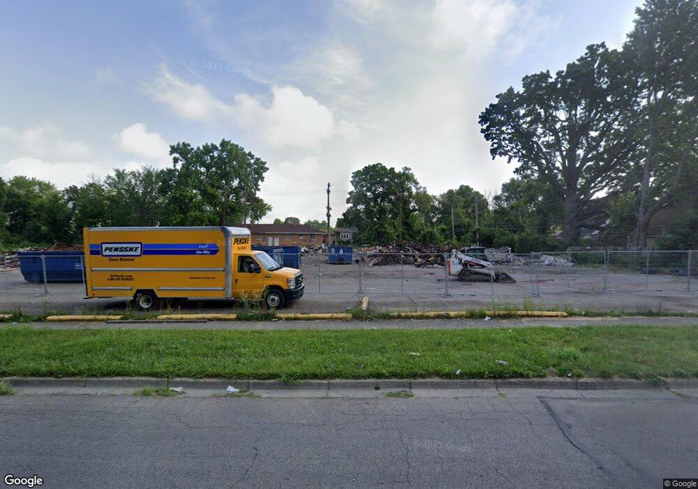
3515 Cornell Dr Unit 3527 Dayton, OH 45406
Wesleyan Hill Neighborhood
--
Bed
--
Bath
17,819
Sq Ft
1
Acres
About This Home
This home is located at 3515 Cornell Dr Unit 3527, Dayton, OH 45406. 3515 Cornell Dr Unit 3527 is a home located in Montgomery County with nearby schools including Valerie Elementary School, Dayton Leadership Academies, and Deca Prep.
Ownership History
Date
Name
Owned For
Owner Type
Purchase Details
Closed on
Sep 23, 2024
Sold by
Safi Husam Ali
Bought by
Singh Inderjit and Singh Gaindha
Purchase Details
Closed on
Sep 15, 2024
Sold by
Saleh Mohd Aya and Saleh Yousef
Bought by
Safi Husam Ali
Purchase Details
Closed on
May 25, 2005
Sold by
Hmidan Samir
Bought by
Saleh Mohd Aya and Saleh Yousef
Purchase Details
Closed on
Aug 24, 2004
Sold by
Hmidan Samir
Bought by
Saleh Mohd Aya
Home Financials for this Owner
Home Financials are based on the most recent Mortgage that was taken out on this home.
Original Mortgage
$20,000
Interest Rate
5%
Mortgage Type
Seller Take Back
Purchase Details
Closed on
Aug 25, 1998
Sold by
Mheisem Ismail Salim Mahmud and Mheisem Mariam Ismail Salim Mahmud
Bought by
Shalash Ahmad and Shalash Salwa
Create a Home Valuation Report for This Property
The Home Valuation Report is an in-depth analysis detailing your home's value as well as a comparison with similar homes in the area
Home Values in the Area
Average Home Value in this Area
Purchase History
| Date | Buyer | Sale Price | Title Company |
|---|---|---|---|
| Singh Inderjit | $400,000 | None Listed On Document | |
| Safi Husam Ali | $180,000 | None Listed On Document | |
| Saleh Mohd Aya | $56,800 | -- | |
| Saleh Mohd Aya | $80,000 | None Available | |
| Shalash Ahmad | $120,000 | -- |
Source: Public Records
Mortgage History
| Date | Status | Borrower | Loan Amount |
|---|---|---|---|
| Previous Owner | Saleh Mohd Aya | $20,000 |
Source: Public Records
Tax History Compared to Growth
Tax History
| Year | Tax Paid | Tax Assessment Tax Assessment Total Assessment is a certain percentage of the fair market value that is determined by local assessors to be the total taxable value of land and additions on the property. | Land | Improvement |
|---|---|---|---|---|
| 2024 | $4,900 | $45,220 | $10,360 | $34,860 |
| 2023 | $4,900 | $45,220 | $10,360 | $34,860 |
| 2022 | $5,787 | $43,070 | $9,870 | $33,200 |
| 2021 | $5,915 | $43,070 | $9,870 | $33,200 |
| 2020 | $5,935 | $43,070 | $9,870 | $33,200 |
| 2019 | $5,814 | $40,610 | $9,870 | $30,740 |
| 2018 | $5,829 | $40,610 | $9,870 | $30,740 |
| 2017 | $5,817 | $40,610 | $9,870 | $30,740 |
| 2016 | $5,947 | $40,610 | $9,870 | $30,740 |
| 2015 | $7,361 | $40,610 | $9,870 | $30,740 |
| 2014 | $7,361 | $40,610 | $9,870 | $30,740 |
| 2012 | -- | $45,680 | $10,360 | $35,320 |
Source: Public Records
Map
Nearby Homes
- 3644 Karwin Dr Unit 3638
- 1641 Kipling Dr
- 1627 Harold Dr Unit 1621
- 3637 Stanford Place Unit 3631
- 1460 Kipling Dr
- 3231 Harvard Blvd
- 3108 Campus Dr
- 3007 Cornell Dr
- 1816 Wesleyan Rd
- 1365 Alcott Dr
- 1579 Sundale Ave
- 1656 Tennyson Ave
- 1676 Tennyson Ave
- 2201 N Gettysburg Ave
- 3908 Necco Ave
- 3738 Kings Hwy
- 3740 Kings Hwy
- 1906 Kensington Dr
- 1910 Kensington Dr
- 1251 Canfield Ave
- 3515 Cornell Dr
- 21 Roger Ct
- 3527 Cornell Dr
- 15 Roger Ct
- 24 Roger Ct
- 16 Roger Ct
- 1611 Wesleyan Rd
- 1617 Wesleyan Rd
- 3531 Cornell Dr
- 3546 Stanford Place
- 3546 Stanford Place Unit 3552
- 1607 Wesleyan Rd
- 1623 Wesleyan Rd
- 2 Roger Ct
- 1629 Wesleyan Rd
- 3537 Cornell Dr
- 1635 Wesleyan Rd
- 3558 Stanford Place
- 3543 Cornell Dr
- 1641 Wesleyan Rd