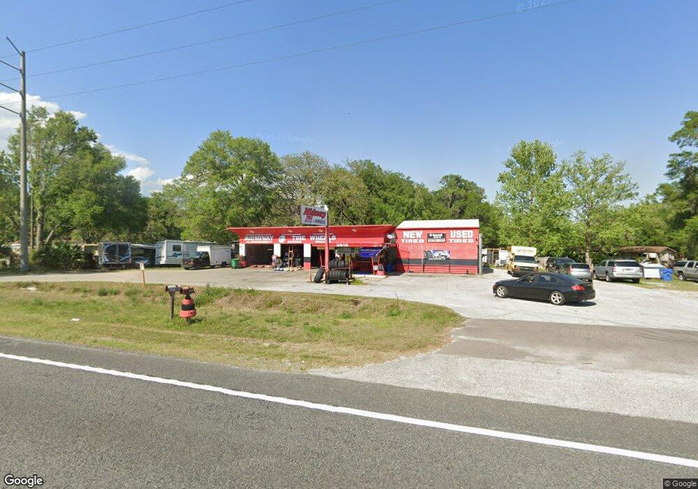
3515 N Us Highway 17 de Land, FL 32720
North DeLand Neighborhood
--
Bed
2
Baths
1,512
Sq Ft
0.95
Acres
About This Home
This home is located at 3515 N Us Highway 17, de Land, FL 32720. 3515 N Us Highway 17 is a home located in Volusia County with nearby schools including Louise S. McInnis Elementary School, T. Dewitt Taylor Middle/High School, and Stetson Baptist Christian School.
Ownership History
Date
Name
Owned For
Owner Type
Purchase Details
Closed on
Mar 1, 2023
Sold by
B D M Investment Group Inc
Bought by
Saedi Mustafa Al
Home Financials for this Owner
Home Financials are based on the most recent Mortgage that was taken out on this home.
Original Mortgage
$325,000
Outstanding Balance
$295,090
Interest Rate
8.5%
Mortgage Type
New Conventional
Purchase Details
Closed on
Nov 18, 2004
Sold by
Weaver Barry L and Weaver Sharon
Bought by
B D M Investment Group Inc
Home Financials for this Owner
Home Financials are based on the most recent Mortgage that was taken out on this home.
Original Mortgage
$220,000
Interest Rate
8%
Mortgage Type
Commercial
Purchase Details
Closed on
Sep 15, 1984
Bought by
Bdm Investment Group Inc
Purchase Details
Closed on
Aug 15, 1971
Bought by
Bdm Investment Group Inc
Create a Home Valuation Report for This Property
The Home Valuation Report is an in-depth analysis detailing your home's value as well as a comparison with similar homes in the area
Home Values in the Area
Average Home Value in this Area
Purchase History
| Date | Buyer | Sale Price | Title Company |
|---|---|---|---|
| Saedi Mustafa Al | $400,000 | -- | |
| B D M Investment Group Inc | $200,000 | -- | |
| Bdm Investment Group Inc | $100,000 | -- | |
| Bdm Investment Group Inc | $22,000 | -- |
Source: Public Records
Mortgage History
| Date | Status | Borrower | Loan Amount |
|---|---|---|---|
| Open | Saedi Mustafa Al | $325,000 | |
| Previous Owner | B D M Investment Group Inc | $220,000 |
Source: Public Records
Tax History Compared to Growth
Tax History
| Year | Tax Paid | Tax Assessment Tax Assessment Total Assessment is a certain percentage of the fair market value that is determined by local assessors to be the total taxable value of land and additions on the property. | Land | Improvement |
|---|---|---|---|---|
| 2025 | $2,656 | $190,025 | $62,073 | $127,952 |
| 2024 | $2,656 | $185,536 | $62,073 | $123,463 |
| 2023 | $2,656 | $173,158 | $57,935 | $115,223 |
| 2022 | $2,238 | $115,486 | $46,348 | $69,138 |
| 2021 | $2,233 | $106,539 | $44,693 | $61,846 |
| 2020 | $2,327 | $110,974 | $44,693 | $66,281 |
| 2019 | $2,394 | $107,030 | $43,037 | $63,993 |
| 2018 | $2,451 | $106,762 | $43,037 | $63,725 |
| 2017 | $2,458 | $103,018 | $43,037 | $59,981 |
| 2016 | $2,319 | $98,765 | $0 | $0 |
| 2015 | $2,273 | $93,905 | $0 | $0 |
| 2014 | $2,132 | $87,843 | $0 | $0 |
Source: Public Records
Map
Nearby Homes
- 158 Bay Ct Unit 20
- 160 Magnolia Way Unit 51
- 157 Magnolia Way Unit 43
- 258 Holly Dr Unit 75
- 180 Bay Ct Unit 25
- 179 Oakleaf Cir Unit 54
- 3430 U S 17
- 184 Bay Ct
- 215 Holly Dr
- 201 Oakleaf Cir
- 168 N Cypress Point Unit 159
- 245 Palm Cove Dr
- 165 Cypress Point N
- 126 Conneaut Terrace Unit 139
- 130 Oakleaf Cir
- 4111 Woodland Cir
- 112 Live Oak Dr
- 105 Live Oak Dr Unit 245
- 389 Spring Lake Dr
- 337 Spring Lake Dr Unit 210
- 3520 U S 17
- 217 Lingering Ln
- 334 Lingering Ln
- 3520 Highway 17
- W Virginia Ave
- W Virginia Ave
- W Virginia Ave
- W Virginia Ave
- W Virginia Ave
- W Virginia Ave
- W Virginia Ave
- N Highway 17
- 306 Lingering Ln
- 150 W Virginia Ave
- 260 W Virginia Ave
- 0 N Highway 17
- 172 Magnolia Way
- 3595 Highway 17
- 155 Bay Ct
- 175 W Virginia Ave