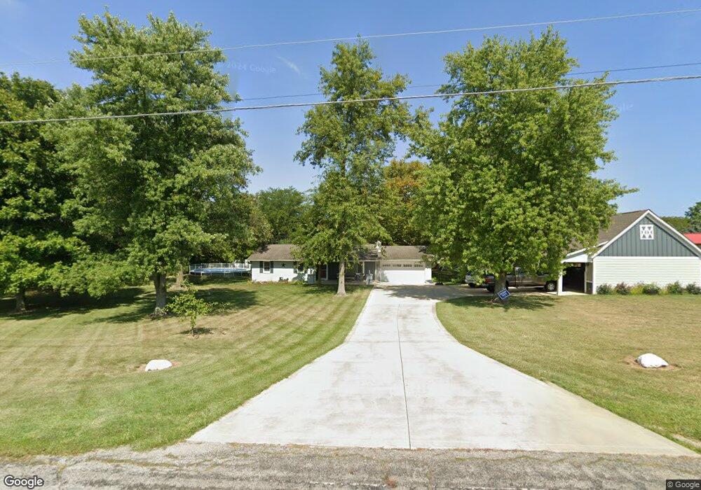
3515 Olmstead Rd West Jefferson, OH 43162
Estimated Value: $332,000 - $357,000
3
Beds
2
Baths
1,480
Sq Ft
$232/Sq Ft
Est. Value
About This Home
This home is located at 3515 Olmstead Rd, West Jefferson, OH 43162 and is currently estimated at $342,715, approximately $231 per square foot. 3515 Olmstead Rd is a home located in Madison County with nearby schools including Madison-Plains Elementary School, Madison-Plains Intermediate School, and Madison-Plains Junior High School.
Ownership History
Date
Name
Owned For
Owner Type
Purchase Details
Closed on
Dec 3, 2008
Sold by
Bandy Patricia A and Fenton George
Bought by
Bowshier Jack L and Bowshier Brenda K
Current Estimated Value
Create a Home Valuation Report for This Property
The Home Valuation Report is an in-depth analysis detailing your home's value as well as a comparison with similar homes in the area
Home Values in the Area
Average Home Value in this Area
Purchase History
| Date | Buyer | Sale Price | Title Company |
|---|---|---|---|
| Bowshier Jack L | $170,000 | None Available |
Source: Public Records
Tax History Compared to Growth
Tax History
| Year | Tax Paid | Tax Assessment Tax Assessment Total Assessment is a certain percentage of the fair market value that is determined by local assessors to be the total taxable value of land and additions on the property. | Land | Improvement |
|---|---|---|---|---|
| 2024 | $1,986 | $81,570 | $15,700 | $65,870 |
| 2023 | $1,986 | $81,570 | $15,700 | $65,870 |
| 2022 | $1,611 | $60,070 | $11,560 | $48,510 |
| 2021 | $1,604 | $60,070 | $11,560 | $48,510 |
| 2020 | $1,607 | $60,070 | $11,560 | $48,510 |
| 2019 | $1,386 | $56,090 | $13,660 | $42,430 |
| 2018 | $1,196 | $49,970 | $13,660 | $36,310 |
| 2017 | $896 | $49,410 | $13,660 | $35,750 |
| 2016 | $896 | $42,490 | $13,660 | $28,830 |
| 2015 | $896 | $42,490 | $13,660 | $28,830 |
| 2014 | $896 | $42,490 | $13,660 | $28,830 |
| 2013 | -- | $43,730 | $13,660 | $30,070 |
Source: Public Records
Map
Nearby Homes
- 3370 Seaman Rd
- 4550 Lc Opossum Rd
- 2793 Ohio St
- 2731 Sandusky St
- 5930 Lilly Chapel Opossum Run Rd
- 5765 Lilly Chapel Opossum Run Rd
- 3388 Harrisburg Georgesville Rd
- 125 Dogwood Ct
- 7750 Alkire Rd
- 0 Kiousville Georgesvl Rd
- 1890 Wilson Rd SE
- 3100 Kropp Rd
- 0 W Jeff Kiousville Rd Unit 225000725
- 700 Shawn Dr Unit 88
- 10763 Southwood Rd
- 304 Middle Dr
- 63 Jones St
- 0 Graessle Rd
- 622 Brookdale Dr
- 6834 Alkire Rd
- 3485 Olmstead Rd
- 3545 Olmstead Rd
- 3455 Olmstead Rd
- 3575 Olmstead Rd
- 10186 Lilly Chapel Georgesville Rd
- 3375 Olmstead Rd
- 9462 Alkire Rd
- 9990 Lc Geo Rd
- 10125 Lilly Chapel Georgesville Rd
- 10211 Lilly Chapel Georgesville Rd
- 10075 Lilly Chapel Georgesville Rd
- 10211 Lilly Chapel Geo Rd
- 9426 Alkire Rd
- 10211 Alkire Rd
- 9469 Alkire Rd
- 3420 Olmstead Rd
- 10135 Lc Geo Rd
- 9439 Alkire Rd
- 9382 Alkire Rd
- 9423 Alkire Rd