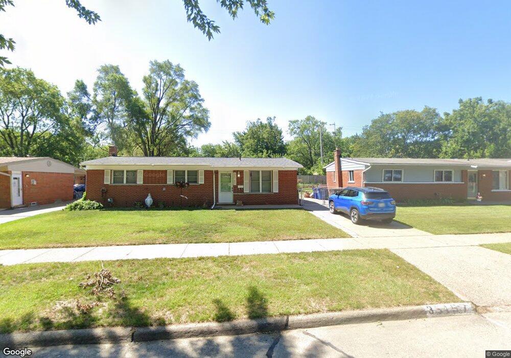
35157 Sansburn St Westland, MI 48186
Estimated Value: $193,570 - $218,000
--
Bed
1
Bath
1,035
Sq Ft
$199/Sq Ft
Est. Value
About This Home
This home is located at 35157 Sansburn St, Westland, MI 48186 and is currently estimated at $206,143, approximately $199 per square foot. 35157 Sansburn St is a home located in Wayne County with nearby schools including Wildwood Elementary School, Marshall Upper Elementary School, and John Glenn High School.
Ownership History
Date
Name
Owned For
Owner Type
Purchase Details
Closed on
Feb 7, 2024
Sold by
Robine Sharon L and Robine Richard B
Bought by
Hernandez Ramon and Hernandez Tina Villarreal
Current Estimated Value
Home Financials for this Owner
Home Financials are based on the most recent Mortgage that was taken out on this home.
Original Mortgage
$145,600
Outstanding Balance
$143,051
Interest Rate
6.66%
Mortgage Type
New Conventional
Estimated Equity
$63,092
Purchase Details
Closed on
Jul 9, 2013
Sold by
Robine Richard B and Robine Sharon L
Bought by
Diaz Estella Louise
Create a Home Valuation Report for This Property
The Home Valuation Report is an in-depth analysis detailing your home's value as well as a comparison with similar homes in the area
Home Values in the Area
Average Home Value in this Area
Purchase History
| Date | Buyer | Sale Price | Title Company |
|---|---|---|---|
| Hernandez Ramon | $182,000 | Title One | |
| Hernandez Ramon | $182,000 | Title One | |
| Diaz Estella Louise | -- | None Available |
Source: Public Records
Mortgage History
| Date | Status | Borrower | Loan Amount |
|---|---|---|---|
| Open | Hernandez Ramon | $145,600 | |
| Closed | Hernandez Ramon | $145,600 |
Source: Public Records
Tax History Compared to Growth
Tax History
| Year | Tax Paid | Tax Assessment Tax Assessment Total Assessment is a certain percentage of the fair market value that is determined by local assessors to be the total taxable value of land and additions on the property. | Land | Improvement |
|---|---|---|---|---|
| 2025 | $2,239 | $94,800 | $0 | $0 |
| 2024 | $2,239 | $89,600 | $0 | $0 |
| 2023 | $2,138 | $78,800 | $0 | $0 |
| 2022 | $2,488 | $70,700 | $0 | $0 |
| 2021 | $2,426 | $65,900 | $0 | $0 |
| 2020 | $2,399 | $60,400 | $0 | $0 |
| 2019 | $2,312 | $56,600 | $0 | $0 |
| 2018 | $1,707 | $47,800 | $0 | $0 |
| 2017 | $808 | $47,100 | $0 | $0 |
| 2016 | $2,179 | $47,200 | $0 | $0 |
| 2015 | $4,225 | $44,080 | $0 | $0 |
| 2013 | $4,139 | $42,320 | $0 | $0 |
| 2012 | $2,037 | $44,350 | $0 | $0 |
Source: Public Records
Map
Nearby Homes
- 35193 Sansburn St
- 35236 Glen St
- 34465 Fairchild St
- 344 S Christine
- 35608 Somerset St
- 34728 Somerset St
- 357 S Dobson St
- 34553 Hazelwood St
- 1645 Regene St
- 36034 Rolf St
- 366 S Wildwood St
- 284 S Byfield St
- 34114 Avondale St
- 36293 Monroe Ave
- 32730 Palmer Rd
- 1681 Stieber St
- 232 S Wildwood St
- 1631 Ackley Ave
- 1811 S Harvey Ave
- 451 Darwin St
- 35169 Sansburn St
- 35145 Sansburn St
- 35181 Sansburn St
- 35133 Sansburn St
- 35132 Avondale St
- 35108 Avondale St
- 35162 Sansburn St
- 35150 Sansburn St
- 35121 Sansburn St
- 939 Fairlane St
- 35090 Avondale St
- 35138 Sansburn St
- 35212 Avondale St
- 35130 Sansburn St
- 35236 Avondale St
- 927 Fairlane St
- 35109 Sansburn St
- 35145 Birchwood St
- 35155 Birchwood St
- 35133 Birchwood St