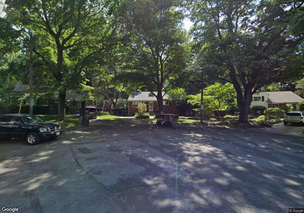
3516 Astoria Ct Kensington, MD 20895
North Kensington NeighborhoodEstimated Value: $607,000 - $674,000
4
Beds
3
Baths
1,260
Sq Ft
$507/Sq Ft
Est. Value
About This Home
This home is located at 3516 Astoria Ct, Kensington, MD 20895 and is currently estimated at $638,682, approximately $506 per square foot. 3516 Astoria Ct is a home located in Montgomery County with nearby schools including Rock View Elementary School, Newport Mill Middle School, and Albert Einstein High School.
Ownership History
Date
Name
Owned For
Owner Type
Purchase Details
Closed on
Jul 16, 2001
Sold by
Garland Mark S
Bought by
Kahric Janicic and Kahric Zoran K N
Current Estimated Value
Purchase Details
Closed on
May 9, 1994
Sold by
Garland Est By Pr R C
Bought by
Garland Mark S
Home Financials for this Owner
Home Financials are based on the most recent Mortgage that was taken out on this home.
Original Mortgage
$95,000
Interest Rate
7.7%
Create a Home Valuation Report for This Property
The Home Valuation Report is an in-depth analysis detailing your home's value as well as a comparison with similar homes in the area
Home Values in the Area
Average Home Value in this Area
Purchase History
| Date | Buyer | Sale Price | Title Company |
|---|---|---|---|
| Kahric Janicic | $249,000 | -- | |
| Garland Mark S | $150,000 | -- |
Source: Public Records
Mortgage History
| Date | Status | Borrower | Loan Amount |
|---|---|---|---|
| Previous Owner | Garland Mark S | $95,000 |
Source: Public Records
Tax History Compared to Growth
Tax History
| Year | Tax Paid | Tax Assessment Tax Assessment Total Assessment is a certain percentage of the fair market value that is determined by local assessors to be the total taxable value of land and additions on the property. | Land | Improvement |
|---|---|---|---|---|
| 2025 | $5,830 | $473,967 | -- | -- |
| 2024 | $5,830 | $442,900 | $215,400 | $227,500 |
| 2023 | $6,498 | $442,900 | $215,400 | $227,500 |
| 2022 | $4,849 | $442,900 | $215,400 | $227,500 |
| 2021 | $4,509 | $463,300 | $214,000 | $249,300 |
| 2020 | $4,509 | $421,267 | $0 | $0 |
| 2019 | $4,010 | $379,233 | $0 | $0 |
| 2018 | $3,522 | $337,200 | $214,000 | $123,200 |
| 2017 | $3,530 | $332,900 | $0 | $0 |
| 2016 | -- | $328,600 | $0 | $0 |
| 2015 | $3,341 | $324,300 | $0 | $0 |
| 2014 | $3,341 | $324,300 | $0 | $0 |
Source: Public Records
Map
Nearby Homes
- 3607 Sandy Ct
- 11006 Madison St
- 3419 University Blvd W Unit 102
- 3708 Woodridge Ave
- 11410 Cam Ct
- 3914 Kincaid Terrace
- 11411 Cam Ct
- 11403 Mapleview Dr
- 11409 Mapleview Dr
- 3923 Halsey St
- 3355 University Blvd W Unit 206
- 3722 Lawrence Ave
- 3511 Decatur Ave
- 3600 Decatur Ave
- 3333 University Blvd W Unit 606
- 3225 University Blvd W Unit 22
- 11515 Lund Place
- 3611 Lowell Place
- 11310 Norris Dr
- 4111 Denfeld Ave
- 3514 Astoria Ct
- 11113 Lund Place
- 3518 Astoria Ct
- 11115 Lund Place
- 11111 Lund Place
- 11117 Lund Place
- 11109 Lund Place
- 3512 Astoria Ct
- 3520 Astoria Ct
- 11107 Lund Place
- 11119 Lund Place
- 3510 Astoria Ct
- 3604 Astoria Rd
- 11105 Lund Place
- 3508 Astoria Ct
- 3522 Astoria Ct
- 11121 Lund Place
- 11114 Lund Place
- 11112 Lund Place
- 11124 Newport Mill Rd