3516 E Norvell Bryant Hwy Hernando, FL 34442
Estimated Value: $1,192,120
--
Bed
5
Baths
32,000
Sq Ft
$37/Sq Ft
Est. Value
About This Home
This home is located at 3516 E Norvell Bryant Hwy, Hernando, FL 34442 and is currently estimated at $1,192,120, approximately $37 per square foot. 3516 E Norvell Bryant Hwy is a home located in Citrus County with nearby schools including Hernando Elementary School, Inverness Middle School, and Citrus High School.
Ownership History
Date
Name
Owned For
Owner Type
Purchase Details
Closed on
Oct 11, 2022
Sold by
Les Mcdermott Inc
Bought by
3516 E Norvell Bryant Highway Land Trust
Current Estimated Value
Purchase Details
Closed on
Mar 18, 2022
Sold by
Mcdermot Leslie C
Bought by
Les Mcdermott Inc
Create a Home Valuation Report for This Property
The Home Valuation Report is an in-depth analysis detailing your home's value as well as a comparison with similar homes in the area
Home Values in the Area
Average Home Value in this Area
Purchase History
| Date | Buyer | Sale Price | Title Company |
|---|---|---|---|
| 3516 E Norvell Bryant Highway Land Trust | $100 | -- | |
| Les Mcdermott Inc | -- | None Listed On Document |
Source: Public Records
Tax History Compared to Growth
Tax History
| Year | Tax Paid | Tax Assessment Tax Assessment Total Assessment is a certain percentage of the fair market value that is determined by local assessors to be the total taxable value of land and additions on the property. | Land | Improvement |
|---|---|---|---|---|
| 2025 | $10,802 | $776,936 | $160,090 | $616,846 |
| 2024 | $10,413 | $664,380 | $160,090 | $504,290 |
| 2023 | $10,413 | $632,060 | $160,090 | $471,970 |
| 2022 | $8,028 | $498,450 | $160,090 | $338,360 |
| 2021 | $7,250 | $441,830 | $153,990 | $287,840 |
| 2020 | $6,558 | $427,523 | $153,990 | $273,533 |
| 2019 | $6,643 | $427,253 | $153,990 | $273,263 |
| 2018 | $6,768 | $437,333 | $153,990 | $283,343 |
| 2017 | $6,911 | $436,933 | $153,990 | $282,943 |
| 2016 | $7,226 | $439,930 | $161,610 | $278,320 |
| 2015 | $7,325 | $434,800 | $161,610 | $273,190 |
| 2014 | $7,969 | $457,860 | $161,992 | $295,868 |
Source: Public Records
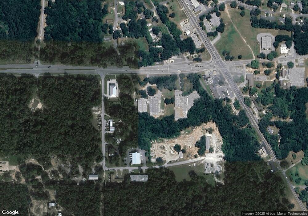
Map
Nearby Homes
- 3350 E Norvell Bryant Hwy
- 2720 E Lake Ln
- 2651 N Canterbury Lake Dr
- 3857 E Orange Dr
- 2726 N Canterbury Lake Dr
- 2799 N Churchill Way
- 2864 N Kittery Point
- 2936 N Kittery Point
- 3337 N Canterbury Lake Dr
- 2842 N Chandler Dr
- 2838 E Chartwell Cir
- 2828 E Chartwell Cir
- 2856 E Chartwell Cir
- 2870 N Attebury Point
- 3041&3061 E Berwick Ct
- 2952 N Chandler Dr
- 2792 N Folkestone Loop
- 2970 N Chandler Dr
- 3033 N Chandler Dr
- 2735 E Norvell Bryant Hwy
- 3464 E Norvell Bryant Hwy
- 3493 E Norvell Bryant Hwy
- 2460 N Railroad Way
- 2373 N Skeeter Terrace
- 3461 E Hartley Ct
- 3468 E Oleander Ln
- 2475 N Railroad Way
- 0 E Norvell Bryant Amberjac
- 3482 E Oleander Ln
- 3450 E Oleander Ln
- 3639 E Hartley Ct
- 2489 N Railroad Way
- 2420 N Florida Ave
- 3438 E Oleander Ln
- 2500 N Railroad Way
- 2265 N Skeeter Terrace
- 3661 E Hartley Ct
- 3484 E Hartley Ct
- 2350 N Florida Ave
- 0 Parson's Point Rd Unit T2304252