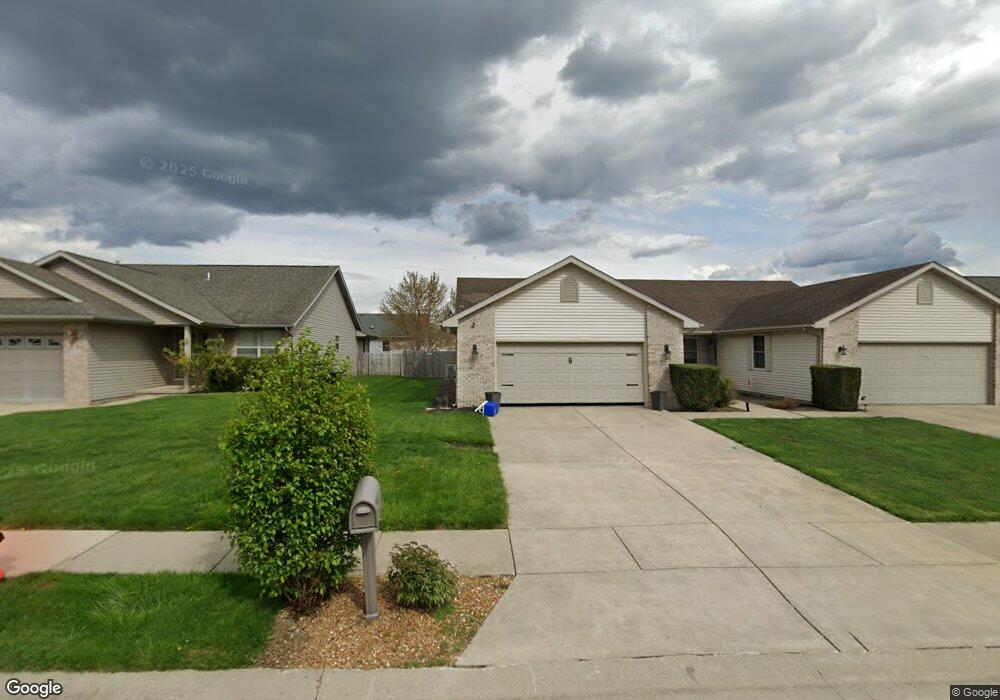
3516 Lytham Dr Springfield, IL 62712
Estimated Value: $228,000 - $274,000
2
Beds
2
Baths
1,240
Sq Ft
$196/Sq Ft
Est. Value
About This Home
This home is located at 3516 Lytham Dr, Springfield, IL 62712 and is currently estimated at $243,304, approximately $196 per square foot. 3516 Lytham Dr is a home located in Sangamon County with nearby schools including Rochester Elementary Ec-1 School, Rochester Elementary School, and Rochester Intermediate School.
Ownership History
Date
Name
Owned For
Owner Type
Purchase Details
Closed on
Apr 2, 2024
Sold by
Mccarthy Kathleen M
Bought by
Klaus-Striplin Diane
Current Estimated Value
Purchase Details
Closed on
Aug 30, 2023
Sold by
Mccarthy John W
Bought by
Mccarthy John W and Mccarthy Kathleen
Purchase Details
Closed on
Sep 30, 2011
Purchase Details
Closed on
Jul 10, 2007
Purchase Details
Closed on
Apr 25, 2003
Create a Home Valuation Report for This Property
The Home Valuation Report is an in-depth analysis detailing your home's value as well as a comparison with similar homes in the area
Home Values in the Area
Average Home Value in this Area
Purchase History
| Date | Buyer | Sale Price | Title Company |
|---|---|---|---|
| Klaus-Striplin Diane | $225,000 | None Listed On Document | |
| Mccarthy John W | -- | None Listed On Document | |
| -- | $120,000 | -- | |
| -- | $110,000 | -- | |
| -- | $110,000 | -- |
Source: Public Records
Tax History Compared to Growth
Tax History
| Year | Tax Paid | Tax Assessment Tax Assessment Total Assessment is a certain percentage of the fair market value that is determined by local assessors to be the total taxable value of land and additions on the property. | Land | Improvement |
|---|---|---|---|---|
| 2024 | $4,609 | $69,830 | $8,681 | $61,149 |
| 2023 | $3,582 | $53,894 | $7,930 | $45,964 |
| 2022 | $3,407 | $50,797 | $7,521 | $43,276 |
| 2021 | $3,279 | $48,895 | $7,239 | $41,656 |
| 2020 | $3,259 | $48,969 | $7,250 | $41,719 |
| 2019 | $3,193 | $48,798 | $7,225 | $41,573 |
| 2018 | $2,772 | $42,789 | $7,191 | $35,598 |
| 2017 | $2,724 | $42,236 | $7,098 | $35,138 |
| 2016 | $2,683 | $41,620 | $6,994 | $34,626 |
| 2015 | $2,653 | $41,122 | $6,910 | $34,212 |
| 2014 | $2,554 | $40,856 | $6,865 | $33,991 |
| 2013 | $2,538 | $39,786 | $6,865 | $32,921 |
Source: Public Records
Map
Nearby Homes
- 3213 Red Oak Ln Unit 1
- 3491 Woodhaven Dr
- 3149 Beaver Creek Ln
- 66 White Birch Rd
- 28 Red Oak Ln
- 3700 Viking Blvd
- 1641 Appalachian Trail
- 5 Swannanoa Unit 1
- 312 Harbor Point Place
- 314 Harbor Point Place
- 329 Harbor Point Place
- 4 Fox Point
- 433 W Lake Shore Dr
- 112 Deer Creek Rd Unit 1
- 77 Glen Aire Dr
- 820 W Lake Shore Dr
- 2722 Walter Rd
- 3012 Taylor Ave
- 2906 Taylor Ave Unit 11
- 0 Varsity Ct
- 3516 S Lytham
- 3518 S Lytham
- 3518 Lytham Dr
- 3514 Lytham Dr
- 3600 Lytham Dr
- 3512 Lytham Dr
- 3517 Carnoustie Dr
- 3521 Carnoustie Dr
- 3602 Lytham Dr
- 3601 Carnoustie Dr
- 3510 Lytham Dr
- 3508 Lytham Dr
- 3517 Lytham Dr
- 3604 Lytham Dr
- 3513 Carnoustie Dr
- 3519 Lytham Dr
- 3515 Lytham Dr
- 3513 Lytham Dr
- 3601 Lytham Dr
- 3605 Carnoustie Dr