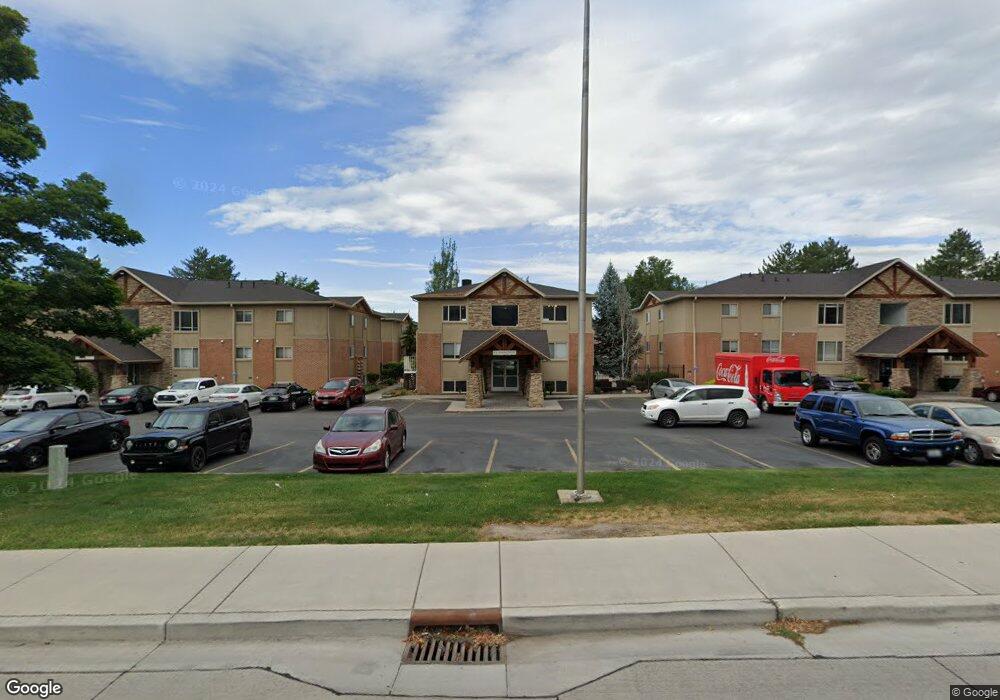
3517 Glenwood Cir Provo, UT 84604
Riverside NeighborhoodEstimated Value: $1,732,000 - $1,935,000
6
Beds
6
Baths
6,328
Sq Ft
$290/Sq Ft
Est. Value
About This Home
This home is located at 3517 Glenwood Cir, Provo, UT 84604 and is currently estimated at $1,837,782, approximately $290 per square foot. 3517 Glenwood Cir is a home located in Utah County with nearby schools including Canyon Crest Elementary School, Centennial Middle School, and Timpview High School.
Ownership History
Date
Name
Owned For
Owner Type
Purchase Details
Closed on
Aug 24, 2020
Sold by
Miner Derek and Miner Camille
Bought by
Miner Derek Odell and Miner Camille Schiess
Current Estimated Value
Home Financials for this Owner
Home Financials are based on the most recent Mortgage that was taken out on this home.
Original Mortgage
$437,000
Outstanding Balance
$386,927
Interest Rate
2.9%
Mortgage Type
New Conventional
Estimated Equity
$1,450,855
Purchase Details
Closed on
Aug 26, 2019
Sold by
Miner Derek and Miner Camille
Bought by
Miner Derek Odell and Miner Camille Schiess
Home Financials for this Owner
Home Financials are based on the most recent Mortgage that was taken out on this home.
Original Mortgage
$443,000
Interest Rate
3.8%
Purchase Details
Closed on
Nov 15, 2018
Sold by
Miner Derek and Miner Camille
Bought by
Schiess Miner Derek Odeli and Schiess Miner Camille
Home Financials for this Owner
Home Financials are based on the most recent Mortgage that was taken out on this home.
Original Mortgage
$445,000
Interest Rate
4.6%
Mortgage Type
New Conventional
Purchase Details
Closed on
Oct 29, 2018
Sold by
Hammond F Melvin and Hammond Bonnie
Bought by
Miner Derek and Miner Camille
Home Financials for this Owner
Home Financials are based on the most recent Mortgage that was taken out on this home.
Original Mortgage
$445,000
Interest Rate
4.6%
Mortgage Type
New Conventional
Purchase Details
Closed on
Aug 13, 2008
Sold by
Lind Bretton
Bought by
Hammond F Melvin and Hammond Bonnie
Purchase Details
Closed on
Jan 11, 2006
Sold by
Erickson David C
Bought by
Bohn Dave
Home Financials for this Owner
Home Financials are based on the most recent Mortgage that was taken out on this home.
Original Mortgage
$743,000
Interest Rate
6.28%
Mortgage Type
Purchase Money Mortgage
Purchase Details
Closed on
Dec 17, 2004
Sold by
Nova Silva Estates Lc and Hill Richard L
Bought by
Erickson David C
Home Financials for this Owner
Home Financials are based on the most recent Mortgage that was taken out on this home.
Original Mortgage
$144,000
Interest Rate
5.7%
Mortgage Type
Purchase Money Mortgage
Create a Home Valuation Report for This Property
The Home Valuation Report is an in-depth analysis detailing your home's value as well as a comparison with similar homes in the area
Home Values in the Area
Average Home Value in this Area
Purchase History
| Date | Buyer | Sale Price | Title Company |
|---|---|---|---|
| Miner Derek Odell | -- | Access Title Co | |
| Miner Derek | -- | Access Title Co | |
| Miner Derek Odell | -- | Cottonwood Ttl Ins Agcy Inc | |
| Miner Derek | -- | Cottonwood Ttl Ins Agcy Inc | |
| Schiess Miner Derek Odeli | -- | None Available | |
| Miner Derek | -- | Bartlett Title Ins Agency | |
| Hammond F Melvin | -- | Old Republic Title Company | |
| Bohn Dave | -- | Wasatch Land & Title | |
| Erickson David C | -- | Fidelity Land & Title |
Source: Public Records
Mortgage History
| Date | Status | Borrower | Loan Amount |
|---|---|---|---|
| Open | Miner Derek | $437,000 | |
| Closed | Miner Derek | $443,000 | |
| Previous Owner | Miner Derek | $445,000 | |
| Previous Owner | Bohn Dave | $743,000 | |
| Previous Owner | Erickson David C | $144,000 |
Source: Public Records
Tax History Compared to Growth
Tax History
| Year | Tax Paid | Tax Assessment Tax Assessment Total Assessment is a certain percentage of the fair market value that is determined by local assessors to be the total taxable value of land and additions on the property. | Land | Improvement |
|---|---|---|---|---|
| 2025 | $8,957 | $984,940 | $579,200 | $1,211,600 |
| 2024 | $8,957 | $881,650 | $0 | $0 |
| 2023 | $8,638 | $838,255 | $0 | $0 |
| 2022 | $7,954 | $778,250 | $0 | $0 |
| 2021 | $6,436 | $1,098,400 | $452,400 | $646,000 |
| 2020 | $6,355 | $1,016,600 | $377,000 | $639,600 |
| 2019 | $5,469 | $1,007,100 | $377,000 | $630,100 |
| 2018 | $5,427 | $915,700 | $339,300 | $576,400 |
| 2017 | $5,042 | $573,100 | $0 | $0 |
| 2016 | $4,458 | $522,665 | $0 | $0 |
| 2015 | $5,423 | $473,715 | $0 | $0 |
| 2014 | $4,574 | $416,460 | $0 | $0 |
Source: Public Records
Map
Nearby Homes
- 3477 Brookside Dr
- 3430 Brookside Dr
- 3535 N 160 St W
- 404 W 3700 N
- 3240 Shadowbrook Dr
- 3057 N 100 W
- 3013 N 100 W
- 2939 N Marrcrest Dr W
- 282 W 4020 N
- 1171 S Carterville Rd
- 1311 S 1100 E
- 2888 Marrcrest W
- 455 W 4150 St N
- 1237 S 1000 E
- 812 S 890 E
- 3711 N Canyon Rd
- 2823 N Marrcrest E
- 96 Marrcrest S
- 1360 S Carterville Rd
- 4246 N Stonecrossing
- 3535 N Glennwood Cir Unit 9
- 3501 Glenwood Cir
- 301 W 3540 N
- 3492 Glenwood Cir Unit 6
- 3536 Glenwood Cir Unit 1
- 3536 Glenwood Cir Unit 1
- 3498 Glenwood Cir
- 3512 Glenwood Cir
- 3536 Glenwood Cir Unit 1
- 3536 Glenwood Cir
- 3506 Glenwood Cir
- 3497 Brookside Dr
- 3495 Brookside Dr
- 3483 Brookside Dr
- 3458 N Cottonwood Ln
- 3562 N 250 W
- 3529 N 160 W
- 3601 N 250 W
- 221 W 3540 N
- 3408 N Cottonwood Ln