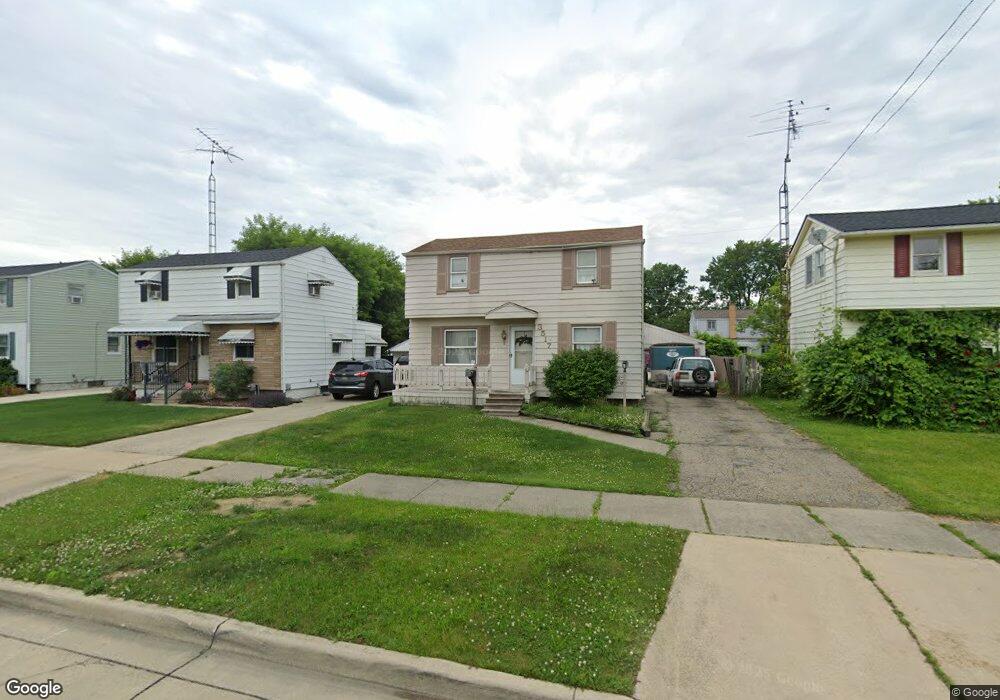
3517 Holly Ave Flint, MI 48506
Potter Longway NeighborhoodEstimated Value: $65,000 - $100,000
3
Beds
1
Bath
964
Sq Ft
$83/Sq Ft
Est. Value
About This Home
This home is located at 3517 Holly Ave, Flint, MI 48506 and is currently estimated at $79,633, approximately $82 per square foot. 3517 Holly Ave is a home located in Genesee County with nearby schools including Potter School, Richfield Public School Academy, and Richfield Early Learning Center.
Ownership History
Date
Name
Owned For
Owner Type
Purchase Details
Closed on
Jan 26, 2024
Sold by
Pattillo Dale W and Pattillo Sandra L
Bought by
Rodriguez Enrico
Current Estimated Value
Purchase Details
Closed on
Dec 23, 2005
Sold by
Sparkman Jewel L and Sparkman Rose Marie
Bought by
Carter Raymond V and Carter Janet S
Home Financials for this Owner
Home Financials are based on the most recent Mortgage that was taken out on this home.
Original Mortgage
$53,560
Interest Rate
6.34%
Mortgage Type
Fannie Mae Freddie Mac
Create a Home Valuation Report for This Property
The Home Valuation Report is an in-depth analysis detailing your home's value as well as a comparison with similar homes in the area
Home Values in the Area
Average Home Value in this Area
Purchase History
| Date | Buyer | Sale Price | Title Company |
|---|---|---|---|
| Rodriguez Enrico | $40,000 | None Listed On Document | |
| Carter Raymond V | -- | Metropolitan Title Company | |
| Pattillo Dale W | $66,950 | Metropolitan Title Company |
Source: Public Records
Mortgage History
| Date | Status | Borrower | Loan Amount |
|---|---|---|---|
| Previous Owner | Pattillo Dale W | $53,560 |
Source: Public Records
Tax History
| Year | Tax Paid | Tax Assessment Tax Assessment Total Assessment is a certain percentage of the fair market value that is determined by local assessors to be the total taxable value of land and additions on the property. | Land | Improvement |
|---|---|---|---|---|
| 2025 | $953 | $41,000 | $0 | $0 |
| 2024 | $865 | $32,400 | $0 | $0 |
| 2023 | $1,074 | $25,200 | $0 | $0 |
| 2022 | $0 | $22,000 | $0 | $0 |
| 2021 | $1,089 | $17,300 | $0 | $0 |
| 2020 | $1,001 | $14,500 | $0 | $0 |
| 2019 | $977 | $12,900 | $0 | $0 |
| 2018 | $970 | $13,200 | $0 | $0 |
| 2017 | $944 | $0 | $0 | $0 |
| 2016 | $944 | $0 | $0 | $0 |
| 2015 | -- | $0 | $0 | $0 |
| 2014 | -- | $0 | $0 | $0 |
| 2012 | -- | $14,200 | $0 | $0 |
Source: Public Records
Map
Nearby Homes
- 3614 Holly Ave
- 3413 Churchill Ave
- 3617 Davison Rd
- 3232 Dale Ave
- 3213 Holly Ave
- 3739 Marmion Ave
- 3813 Holly Ave
- 3421 Brewster St
- 3822 Whittier Ave
- 3149 Whittier Ave
- 3814 Beechwood Ave
- 3806 Pitkin Ave
- 2074 N Center Rd
- 3602 Dakota Ave
- 3314 Dakota Ave
- 3413 Dakota Ave
- 2274 N Center Rd
- 2719 Branch Rd
- 2701 Branch Rd
- 3018 Dakota Ave
- 3521 Holly Ave
- 3513 Holly Ave
- 3525 Holly Ave
- 3509 Holly Ave
- 3518 Bennett Ave
- 3514 Bennett Ave
- 3522 Bennett Ave
- 3526 Bennett Ave
- 3510 Bennett Ave
- 3601 Holly Ave
- 3505 Holly Ave
- 3518 Holly Ave
- 3514 Holly Ave
- 3522 Holly Ave
- 3506 Bennett Ave
- 3602 Bennett Ave
- 3510 Holly Ave
- 2202 Starkweather St
- 2210 Starkweather St
- 3506 Holly Ave
Your Personal Tour Guide
Ask me questions while you tour the home.