3517 Wallace Loop Rd Ravenden Springs, AR 72460
Estimated Value: $392,000 - $1,153,346
--
Bed
2
Baths
1,680
Sq Ft
$399/Sq Ft
Est. Value
About This Home
This home is located at 3517 Wallace Loop Rd, Ravenden Springs, AR 72460 and is currently estimated at $669,782, approximately $398 per square foot. 3517 Wallace Loop Rd is a home with nearby schools including Maynard Elementary School and Maynard High School.
Ownership History
Date
Name
Owned For
Owner Type
Purchase Details
Closed on
Mar 25, 2019
Sold by
Dale Dale and Shrock Elisie
Bought by
Shrock Daryl and Shrock Karen
Current Estimated Value
Home Financials for this Owner
Home Financials are based on the most recent Mortgage that was taken out on this home.
Original Mortgage
$650,000
Interest Rate
4.4%
Mortgage Type
Construction
Purchase Details
Closed on
Oct 25, 2018
Sold by
Tweedy Quinten and Tweedy Sherie
Bought by
Shrock Dale and Shrock Elsie
Home Financials for this Owner
Home Financials are based on the most recent Mortgage that was taken out on this home.
Original Mortgage
$356,000
Interest Rate
4.7%
Mortgage Type
New Conventional
Purchase Details
Closed on
Nov 17, 2008
Bought by
Vandergriff To Vandergriff
Create a Home Valuation Report for This Property
The Home Valuation Report is an in-depth analysis detailing your home's value as well as a comparison with similar homes in the area
Home Values in the Area
Average Home Value in this Area
Purchase History
| Date | Buyer | Sale Price | Title Company |
|---|---|---|---|
| Shrock Daryl | $400,000 | None Available | |
| Shrock Dale | $192,000 | None Available | |
| Vandergriff To Vandergriff | -- | -- |
Source: Public Records
Mortgage History
| Date | Status | Borrower | Loan Amount |
|---|---|---|---|
| Closed | Shrock Daryl | $650,000 | |
| Previous Owner | Shrock Dale | $356,000 |
Source: Public Records
Tax History Compared to Growth
Tax History
| Year | Tax Paid | Tax Assessment Tax Assessment Total Assessment is a certain percentage of the fair market value that is determined by local assessors to be the total taxable value of land and additions on the property. | Land | Improvement |
|---|---|---|---|---|
| 2025 | $3,424 | $84,125 | $3,225 | $80,900 |
| 2024 | $3,657 | $102,145 | $3,225 | $98,920 |
| 2023 | $3,436 | $94,855 | $3,225 | $91,630 |
| 2022 | $3,496 | $94,855 | $3,225 | $91,630 |
| 2021 | $3,496 | $94,855 | $3,225 | $91,630 |
| 2020 | $3,636 | $98,300 | $3,255 | $95,045 |
| 2019 | $475 | $21,350 | $3,255 | $18,095 |
| 2018 | $507 | $19,020 | $1,025 | $17,995 |
| 2017 | $454 | $19,755 | $1,000 | $18,755 |
| 2016 | $375 | $19,755 | $1,000 | $18,755 |
| 2015 | $375 | $19,755 | $1,000 | $18,755 |
| 2014 | $15 | $430 | $430 | $0 |
Source: Public Records
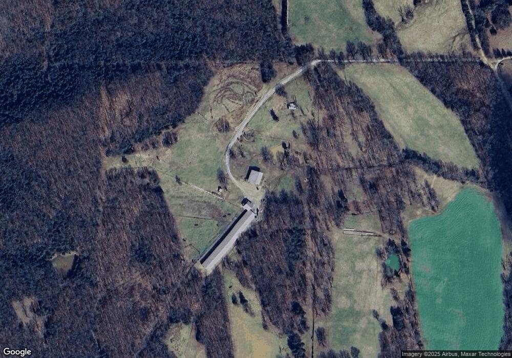
Map
Nearby Homes
- 1580 Sierra Loop
- 8673 Highway 251
- TBD Saienni Rd
- 0 Blackwell Den Rd
- 86 Palestine Rd
- 86 Acres Palestine Rd
- 1815 Stubblefield Rd
- 5600 Baker Den Rd
- 339 Township Rd
- 0000 Cokley Rd
- 85 Baker Den Rd
- 1361 Baker Den Rd
- 320 Griffin Rd
- 771 Red Rock Trail
- TBD Brakebill Rd
- 5873 Highway 90 W
- TBD Springview Rd
- 9369 Highway 93
- 702 Fox Run Trail
- 43 Cheyenne Trail
- 3729 Wallace Loop Rd
- 3296 Wallace Loop Rd
- 57 Henson Rd
- 4107 Wallace Loop Rd
- 2947 Wallace Loop Rd
- 172 Henson Rd
- 3298 Highway 231 W
- 2962 Wallace Loop Rd
- 968 Wallace Loop Rd
- 3003 Highway 231 W
- 1192 Wallace Loop Rd
- 1102 Wallace Loop Rd
- 3004 Highway 231 W
- 2689 Wallace Loop Rd
- 1396 Wallace Loop Rd
- 1820 Wallace Loop
- 2002 Wallace Loop Rd
- 432 Wallace Loop Rd
- 3960 Highway 231 W
- 1763 Wallace Loop Rd