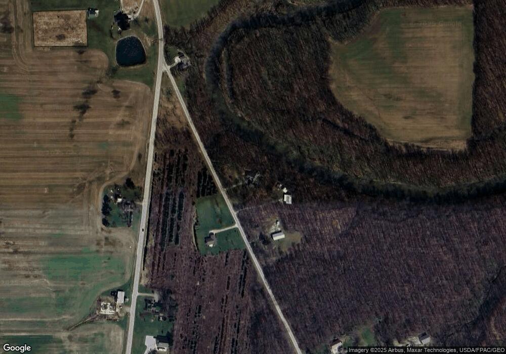
3518 Chenango Rd Wakeman, OH 44889
Estimated Value: $296,000 - $473,000
3
Beds
2
Baths
1,776
Sq Ft
$201/Sq Ft
Est. Value
About This Home
This home is located at 3518 Chenango Rd, Wakeman, OH 44889 and is currently estimated at $357,308, approximately $201 per square foot. 3518 Chenango Rd is a home located in Huron County with nearby schools including Western Reserve Elementary School, Western Reserve Middle School, and Western Reserve High School.
Ownership History
Date
Name
Owned For
Owner Type
Purchase Details
Closed on
Nov 12, 2019
Bought by
Fannin Trustee Ellen E
Current Estimated Value
Purchase Details
Closed on
Nov 30, 2012
Bought by
Raymond F Fannin Trustee & Ellen E Fanni
Purchase Details
Closed on
Jun 19, 2000
Bought by
Fannin Raymond & Ellen E Trustees
Purchase Details
Closed on
Jun 18, 1987
Bought by
Fannin Raymond
Create a Home Valuation Report for This Property
The Home Valuation Report is an in-depth analysis detailing your home's value as well as a comparison with similar homes in the area
Purchase History
| Date | Buyer | Sale Price | Title Company |
|---|---|---|---|
| Fannin Trustee Ellen E | -- | -- | |
| Raymond F Fannin Trustee & Ellen E Fanni | -- | -- | |
| Fannin Raymond & Ellen E Trustees | -- | -- | |
| Fannin Raymond | $12,000 | -- |
Source: Public Records
Tax History
| Year | Tax Paid | Tax Assessment Tax Assessment Total Assessment is a certain percentage of the fair market value that is determined by local assessors to be the total taxable value of land and additions on the property. | Land | Improvement |
|---|---|---|---|---|
| 2024 | $3,822 | $107,330 | $11,910 | $95,420 |
| 2023 | $3,807 | $82,090 | $10,200 | $71,890 |
| 2022 | $3,021 | $82,090 | $10,200 | $71,890 |
| 2021 | $3,113 | $82,090 | $10,200 | $71,890 |
| 2020 | $2,825 | $71,020 | $9,860 | $61,160 |
| 2019 | $2,814 | $71,020 | $9,860 | $61,160 |
| 2018 | $2,785 | $71,020 | $9,860 | $61,160 |
| 2017 | $2,343 | $60,520 | $9,690 | $50,830 |
| 2016 | $2,302 | $60,520 | $9,690 | $50,830 |
| 2015 | $2,281 | $60,540 | $9,700 | $50,840 |
| 2014 | $2,446 | $65,420 | $8,330 | $57,090 |
| 2013 | $2,364 | $65,420 | $8,330 | $57,090 |
Source: Public Records
Map
Nearby Homes
- 5951 Ohio 303
- 6175 U S 20
- 23 Stony Brook Ln
- 22 E Main St
- 42 Stony Brook Ln
- 27 Deer Run Dr
- 5810 U S 20 Unit 47
- 5810 U S 20 Unit 3
- 5810 U S 20 Unit 98
- 5810 U S 20 Unit 11
- 5810 U S 20 Unit 111
- 5810 U S 20 Unit 76
- 5 Foxwood Cir
- 22 Foxwood Cir
- 5226 State Route 60
- 1910 Wenz Rd
- 4757 Wenz Rd
- 1491 Vesta Rd
- 2860 Derussey Rd
- 3640 Derussey Rd
- 3418 Chenango Rd
- 3660 Chenango Rd
- 3424 State Route 60
- 3388 Chenango Rd
- 3387 Chenango Rd
- 3601 State Route 60
- 3380 Chenango Rd
- 3357 Chenango Rd
- 3335 Chenango Rd
- 3326 Chenango Rd
- 3301 Chenango Rd
- 5462 Auster Rd
- 3719 State Route 60
- 5540 Auster Rd
- 5734 Auster Rd
- 5531 Auster Rd
- 3757 State Route 60
- 3158 Ohio 60
- 3840 State Route 60
- 3837 State Route 60
