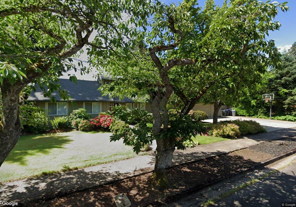
3518 Regent Ave Eugene, OR 97401
Harlow NeighborhoodEstimated Value: $680,000 - $945,000
3
Beds
2
Baths
2,470
Sq Ft
$316/Sq Ft
Est. Value
About This Home
This home is located at 3518 Regent Ave, Eugene, OR 97401 and is currently estimated at $781,234, approximately $316 per square foot. 3518 Regent Ave is a home located in Lane County with nearby schools including Holt Elementary School, Monroe Middle School, and Sheldon High School.
Ownership History
Date
Name
Owned For
Owner Type
Purchase Details
Closed on
Feb 7, 2023
Sold by
Board Of County Commissioners
Bought by
Walk Richard
Current Estimated Value
Purchase Details
Closed on
Sep 27, 2022
Sold by
Department Of Assessment And Taxation
Bought by
Lane County
Purchase Details
Closed on
Feb 8, 2002
Sold by
Walk Richard and Walk Kelly
Bought by
Walk Richard
Home Financials for this Owner
Home Financials are based on the most recent Mortgage that was taken out on this home.
Original Mortgage
$173,500
Interest Rate
7.13%
Create a Home Valuation Report for This Property
The Home Valuation Report is an in-depth analysis detailing your home's value as well as a comparison with similar homes in the area
Home Values in the Area
Average Home Value in this Area
Purchase History
| Date | Buyer | Sale Price | Title Company |
|---|---|---|---|
| Walk Richard | $67,396 | -- | |
| Lane County | -- | None Listed On Document | |
| Walk Richard | -- | Western Pioneer Title Co |
Source: Public Records
Mortgage History
| Date | Status | Borrower | Loan Amount |
|---|---|---|---|
| Previous Owner | Walk Richard | $173,500 |
Source: Public Records
Tax History
| Year | Tax Paid | Tax Assessment Tax Assessment Total Assessment is a certain percentage of the fair market value that is determined by local assessors to be the total taxable value of land and additions on the property. | Land | Improvement |
|---|---|---|---|---|
| 2025 | $7,548 | $387,403 | -- | -- |
| 2024 | $7,454 | $376,120 | -- | -- |
| 2023 | $7,454 | $365,166 | -- | -- |
| 2022 | $7,268 | $368,984 | $0 | $0 |
| 2021 | $6,826 | $358,237 | $0 | $0 |
| 2020 | $6,851 | $347,803 | $0 | $0 |
| 2019 | $6,616 | $337,673 | $0 | $0 |
| 2018 | $6,228 | $318,289 | $0 | $0 |
| 2017 | $5,921 | $318,289 | $0 | $0 |
| 2016 | $5,637 | $309,018 | $0 | $0 |
| 2015 | $5,440 | $300,017 | $0 | $0 |
| 2014 | $5,318 | $291,279 | $0 | $0 |
Source: Public Records
Map
Nearby Homes
- 3360 Chevy Chase St
- 1130 Anderson Ln
- 835 Anderson Ln
- 1505 Canal St
- 3579 Oxbow Way
- 1074 Hamilton St
- 2646 Cascara Dr
- 2642 Cascara Dr
- 446 Kodiak St
- 280 Regal Ct
- 2709 E 16th Ave
- 2770 E 16th Ave
- 2994 Dapple Way
- 1650 Augusta Aly
- 1652 Augusta Aly
- 804 W N St
- 0 Sylvan St Unit 247715494
- 1702 Augusta St
- 394 Cherry Dr
- 275 Sunset Dr
- 3520 Regent Ave
- 3502 Regent Ave
- 3528 Regent Ave
- 475 Stonegate St
- 3517 Regent Ave
- 455 Stonegate St
- 3522 Regent Ave
- 3485 Regent Ave
- 3525 Regent Ave
- 425 Stonegate St
- 495 Stonegate St
- 3526 Regent Ave
- 3524 Regent Ave
- 3530 Regent Ave
- 3465 Regent Ave
- 515 Stonegate St
- 3527 Regent Ave
- 3531 Regent Ave
- 480 Mar Loop
- 470 Stonegate St
Your Personal Tour Guide
Ask me questions while you tour the home.