3518 Westford Dr de Land, FL 32720
North DeLand NeighborhoodEstimated Value: $591,000 - $699,000
--
Bed
3
Baths
3,033
Sq Ft
$213/Sq Ft
Est. Value
About This Home
This home is located at 3518 Westford Dr, de Land, FL 32720 and is currently estimated at $647,333, approximately $213 per square foot. 3518 Westford Dr is a home located in Volusia County with nearby schools including Citrus Grove Elementary, Deland High School, and Southwestern Middle School.
Ownership History
Date
Name
Owned For
Owner Type
Purchase Details
Closed on
Nov 3, 2015
Sold by
Amelia Avenue Partners Llc
Bought by
Turner Justin and Turner Amanda
Current Estimated Value
Purchase Details
Closed on
Dec 20, 2007
Sold by
Glenwood Reserve Llc
Bought by
Amelia Avenue Partners Llc
Create a Home Valuation Report for This Property
The Home Valuation Report is an in-depth analysis detailing your home's value as well as a comparison with similar homes in the area
Home Values in the Area
Average Home Value in this Area
Purchase History
| Date | Buyer | Sale Price | Title Company |
|---|---|---|---|
| Turner Justin | $45,000 | Attorney | |
| Amelia Avenue Partners Llc | $300,000 | Attorney |
Source: Public Records
Mortgage History
| Date | Status | Borrower | Loan Amount |
|---|---|---|---|
| Open | Turner Justin M | $60,000 | |
| Open | Turner Justin | $342,000 | |
| Closed | Turner Justin | $84,600 | |
| Closed | Turner Justin | $298,150 |
Source: Public Records
Tax History Compared to Growth
Tax History
| Year | Tax Paid | Tax Assessment Tax Assessment Total Assessment is a certain percentage of the fair market value that is determined by local assessors to be the total taxable value of land and additions on the property. | Land | Improvement |
|---|---|---|---|---|
| 2025 | $6,412 | $405,398 | -- | -- |
| 2024 | $6,412 | $393,973 | -- | -- |
| 2023 | $6,412 | $382,499 | $0 | $0 |
| 2022 | $6,328 | $371,358 | $0 | $0 |
| 2021 | $6,599 | $360,542 | $0 | $0 |
| 2020 | $6,516 | $355,564 | $0 | $0 |
| 2019 | $6,000 | $311,316 | $0 | $0 |
| 2018 | $6,015 | $305,511 | $0 | $0 |
| 2017 | $6,069 | $299,227 | $0 | $0 |
| 2016 | $826 | $37,333 | $0 | $0 |
| 2015 | $711 | $32,471 | $0 | $0 |
| 2014 | $633 | $27,825 | $0 | $0 |
Source: Public Records
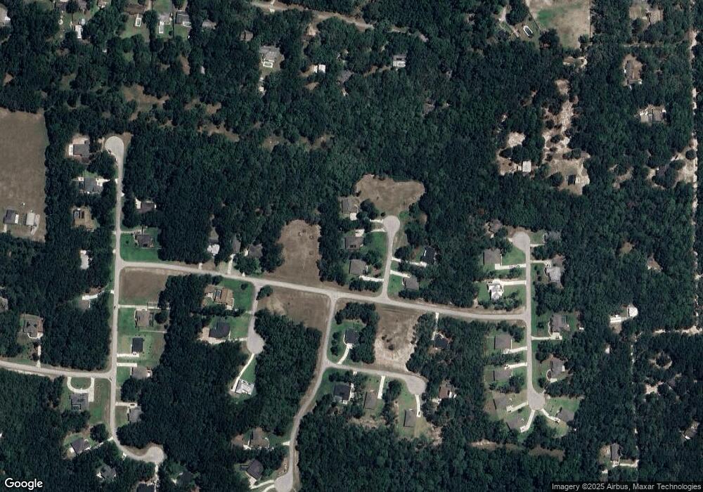
Map
Nearby Homes
- 1845 Lemon St
- 0 Garden St Unit MFRO6109460
- 235 Garden St
- 1795 Ridgewood St
- 1296 Lemon St
- 226 Garden St
- 2015 Hawk Haven Trail
- 1806 Glenwood Oaks Ln
- 3660 Grand Ave
- 4155 N Us Hwy 17
- 2053 Bond Rd
- 1909 S Farm Rd
- 3221 Oaklea Dr
- 1751 Salvadore St
- 1795 Trinidad St
- 1480 Gaudrey St
- 1955 Hillcrest Oak Dr
- 1580 Trinidad St
- 1420 Trinidad St
- 3430 U S 17
- 3514 Westford Dr
- 3522 Westford Dr
- 3519 Westford Dr
- 3523 Westford Dr
- 3515 Westford Dr
- 3517 Tewksbury Dr
- 1717 Chelmsford Dr
- 1721 Chelmsford Dr
- 0 Boxborough Dr
- 3507 Lowell Dr
- 3520 Tyngsbourgh Dr
- 3524 Tyngsbourgh Dr
- Chelmsford Dr
- 1704 Chelmsford Dr
- 1725 Chelmsford Dr
- 3514 Lowell Dr
- 1522 Twin Oaks Dr
- 1714 Boxborough Dr
- 1714 Boxborough Dr
- 1729 Chelmsford Dr