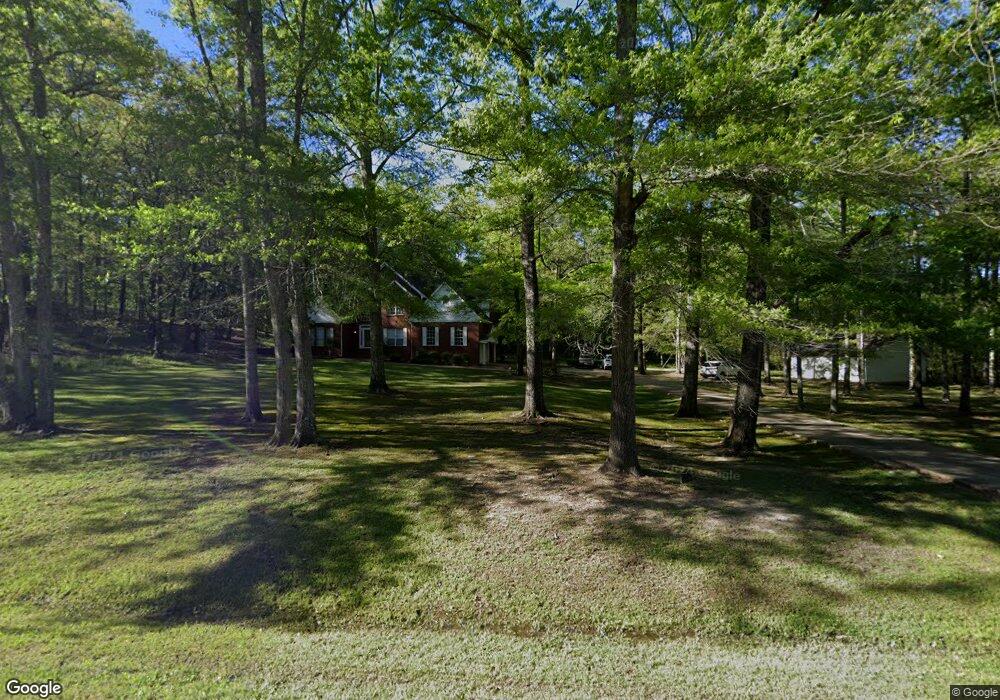
3519 Waverly Rd West Point, MI 39773
Estimated Value: $174,000 - $451,000
4
Beds
5
Baths
3,969
Sq Ft
$92/Sq Ft
Est. Value
About This Home
This home is located at 3519 Waverly Rd, West Point, MI 39773 and is currently estimated at $364,367, approximately $91 per square foot. 3519 Waverly Rd is a home located in Clay County with nearby schools including East Side Elementary School, West Clay Elementary School, and Church Hill Elementary School.
Ownership History
Date
Name
Owned For
Owner Type
Purchase Details
Closed on
Sep 27, 2024
Sold by
Tinsley Greg E and Tinsley Terri A
Bought by
Skinner Miranda
Current Estimated Value
Home Financials for this Owner
Home Financials are based on the most recent Mortgage that was taken out on this home.
Original Mortgage
$387,845
Outstanding Balance
$383,768
Interest Rate
6.35%
Mortgage Type
FHA
Estimated Equity
-$19,401
Create a Home Valuation Report for This Property
The Home Valuation Report is an in-depth analysis detailing your home's value as well as a comparison with similar homes in the area
Home Values in the Area
Average Home Value in this Area
Purchase History
| Date | Buyer | Sale Price | Title Company |
|---|---|---|---|
| Skinner Miranda | -- | None Listed On Document |
Source: Public Records
Mortgage History
| Date | Status | Borrower | Loan Amount |
|---|---|---|---|
| Open | Skinner Miranda | $387,845 |
Source: Public Records
Tax History Compared to Growth
Tax History
| Year | Tax Paid | Tax Assessment Tax Assessment Total Assessment is a certain percentage of the fair market value that is determined by local assessors to be the total taxable value of land and additions on the property. | Land | Improvement |
|---|---|---|---|---|
| 2024 | $1,644 | $31,913 | $2,500 | $29,413 |
| 2023 | $2,679 | $26,244 | $2,500 | $23,744 |
| 2022 | $1,301 | $26,244 | $2,500 | $23,744 |
| 2021 | $1,301 | $26,244 | $2,500 | $23,744 |
| 2020 | $1,300 | $26,244 | $2,500 | $23,744 |
| 2019 | $1,219 | $26,027 | $2,500 | $23,527 |
| 2018 | $1,162 | $26,027 | $2,500 | $23,527 |
| 2017 | $1,162 | $26,027 | $2,500 | $23,527 |
| 2016 | $1,117 | $26,027 | $2,500 | $23,527 |
| 2015 | $1,136 | $25,533 | $2,500 | $23,033 |
| 2014 | $1,030 | $25,533 | $2,500 | $23,033 |
| 2013 | $1,030 | $25,533 | $2,500 | $23,033 |
Source: Public Records
Map
Nearby Homes
- 84 Waverly Dr
- 0 Dogwood Dr
- 0 Dogwood Dr (Lot 14) Unit 24-277
- 0 Dogwood Dr (Lot 20) Unit 24-278
- 0 Dogwood Dr (Lot 21) Unit 24-279
- 145 Waverly Dr
- 0 Clisby Rd
- 207 Country Club Dr
- 223 Waverly Dr
- 249 Waverly Dr
- 0 Waverly Dr
- 64 Waverly Dr
- Lot 31 Waverly Dr
- 21 Shadowlawn Cove
- 28 Shadowlawn Cove
- 645 Waverly Dr
- 12 Clisby Rd
- 6 Clisby Rd
- 4 Clisby Rd
- 5 Clisby Rd
- 3519 Waverly Rd
- 2200 Dogwood Dr
- 2206 Dogwood Dr
- 2218 Dogwood Dr
- 2258 Dogwood Dr
- 2217 Dogwood Dr
- 2350 Dogwood Dr
- 2271 Dogwood Dr
- 2212 Dogwood Dr
- 2004 Jasmine Dr
- 2001 Jasmine Dr
- 103 Dogwood Dr
- 2144 Dogwood Dr
- 2096 Dogwood Dr
- 2203 Dogwood Dr
- 36 Waverly Dr
- 56 Waverly Dr
- 2305 Dogwood Dr
- 3341 Waverly Rd
- 3633 Waverly Rd