Estimated Value: $253,725 - $348,000
Studio
1
Bath
2,020
Sq Ft
$156/Sq Ft
Est. Value
About This Home
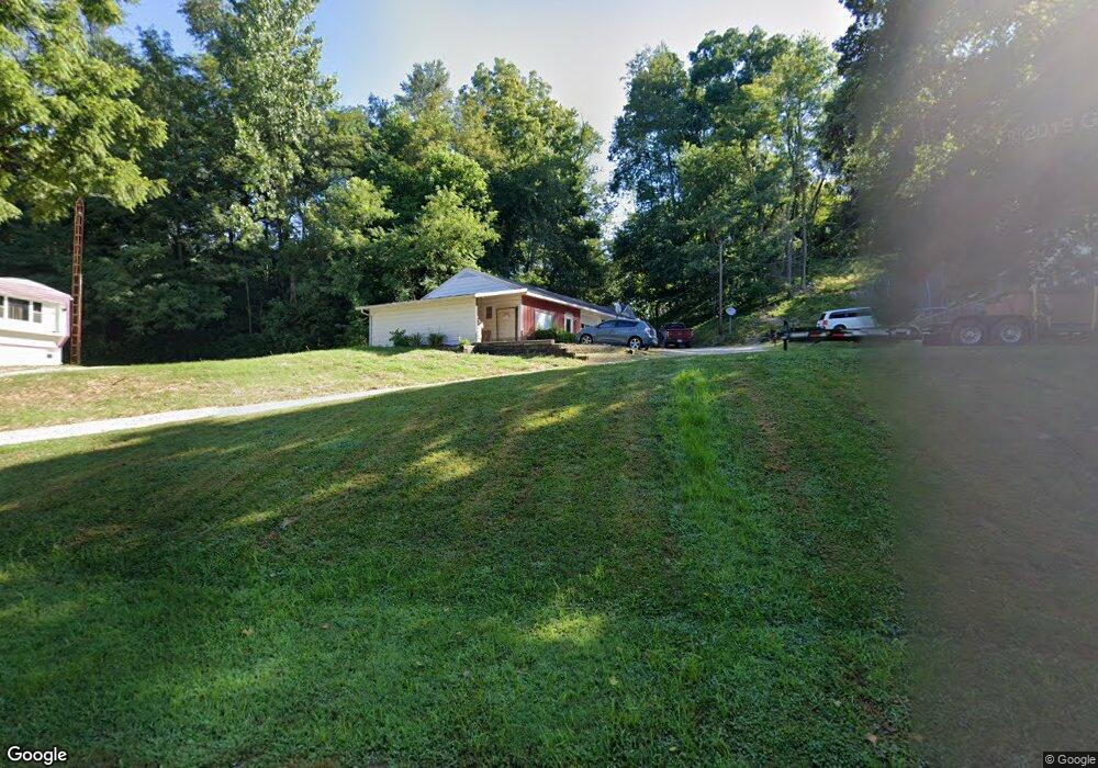
This home is located at 35190 Linton Rd, Logan, OH 43138 and is currently estimated at $315,931, approximately $156 per square foot. 35190 Linton Rd is a home located in Hocking County with nearby schools including Green Elementary School, St. John the Evangelist School, and Logan Christian School.
Ownership History
Date
Name
Owned For
Owner Type
Purchase Details
Closed on
Sep 7, 2018
Sold by
Barrell Michael A and Barrell Trina Y
Bought by
Good Andrew J and Good Margaret C
Current Estimated Value
Home Financials for this Owner
Home Financials are based on the most recent Mortgage that was taken out on this home.
Original Mortgage
$122,000
Outstanding Balance
$105,590
Interest Rate
4.25%
Mortgage Type
Adjustable Rate Mortgage/ARM
Estimated Equity
$210,341
Create a Home Valuation Report for This Property
The Home Valuation Report is an in-depth analysis detailing your home's value as well as a comparison with similar homes in the area
Purchase History
| Date | Buyer | Sale Price | Title Company |
|---|---|---|---|
| Good Andrew J | $152,500 | None Available |
Source: Public Records
Mortgage History
| Date | Status | Borrower | Loan Amount |
|---|---|---|---|
| Open | Good Andrew J | $122,000 |
Source: Public Records
Tax History
| Year | Tax Paid | Tax Assessment Tax Assessment Total Assessment is a certain percentage of the fair market value that is determined by local assessors to be the total taxable value of land and additions on the property. | Land | Improvement |
|---|---|---|---|---|
| 2024 | $2,896 | $61,680 | $16,190 | $45,490 |
| 2023 | $2,432 | $61,680 | $16,190 | $45,490 |
| 2022 | $2,401 | $61,680 | $16,190 | $45,490 |
| 2021 | $1,806 | $43,130 | $11,830 | $31,300 |
| 2020 | $1,807 | $43,130 | $11,830 | $31,300 |
| 2019 | $1,807 | $43,130 | $11,830 | $31,300 |
| 2018 | $1,529 | $36,960 | $10,080 | $26,880 |
| 2017 | $1,502 | $36,960 | $10,080 | $26,880 |
| 2016 | $1,491 | $36,960 | $10,080 | $26,880 |
| 2015 | $1,510 | $36,070 | $12,290 | $23,780 |
| 2014 | $1,510 | $36,070 | $12,290 | $23,780 |
| 2013 | $1,516 | $36,070 | $12,290 | $23,780 |
Source: Public Records
Map
Nearby Homes
- 35838 Scout Rd
- 12893 Maysville Williams Rd
- 1300 Dannie Dr
- 36391 Scout Rd
- 846 Elizabeth Ave
- 882 E Main St
- 1257 Ohio Ave
- 0 Clay Bank Rd
- 1233 Ohio Ave
- 600 E 2nd St
- 680 E Hunter St
- 0 Maysville Williams Rd Unit 226004970
- State Route 328
- 0 Clay Hill Rd
- 849 Mohican Ave
- 743 Summit Dr
- 15817 Nickel Plate Rd
- 621 N Walnut St
- 75 Hill St
- 226 W Front St
- 35246 Linton Rd
- 35251 Smith Chapel Rd
- 35200 Hocking Dr
- 35222 Hocking Dr
- 35280 Linton Rd
- 35163 Smith Chapel Rd
- 35330 Linton Rd
- 35107 Hocking Dr
- 35495 Smith Chapel Rd
- 13716 Maysville Williams Rd
- 13737 Maysville Williams Rd
- 13731 Maysville Williams Rd
- 13705 Maysville Williams Rd
- 13687 Maysville Williams Rd
- 13654 Maysville Williams Rd
- 13675 Maysville Williams Rd
- 13642 Maysville Williams Rd
- 13642 Maysville-Williams Rd
- 2249 Linton Rd
- 2211 Linton Rd
Your Personal Tour Guide
Ask me questions while you tour the home.