352 Cassidy Hill Rd Coventry, CT 06238
Estimated Value: $336,000 - $529,085
2
Beds
2
Baths
1,408
Sq Ft
$286/Sq Ft
Est. Value
About This Home
This home is located at 352 Cassidy Hill Rd, Coventry, CT 06238 and is currently estimated at $402,021, approximately $285 per square foot. 352 Cassidy Hill Rd is a home located in Tolland County with nearby schools including Coventry Grammar School, George Hersey Robertson School, and Capt. Nathan Hale School.
Ownership History
Date
Name
Owned For
Owner Type
Purchase Details
Closed on
Feb 21, 2017
Sold by
Johnson Robert W and Johnson Linda B
Bought by
Johnson Robert W and Johnson Linda B
Current Estimated Value
Purchase Details
Closed on
Nov 1, 1983
Bought by
Johnson Robert W
Create a Home Valuation Report for This Property
The Home Valuation Report is an in-depth analysis detailing your home's value as well as a comparison with similar homes in the area
Home Values in the Area
Average Home Value in this Area
Purchase History
| Date | Buyer | Sale Price | Title Company |
|---|---|---|---|
| Johnson Robert W | -- | -- | |
| Johnson Robert W | -- | -- | |
| Johnson Robert W | -- | -- |
Source: Public Records
Mortgage History
| Date | Status | Borrower | Loan Amount |
|---|---|---|---|
| Previous Owner | Johnson Robert W | $225,000 | |
| Previous Owner | Johnson Robert W | $90,000 |
Source: Public Records
Tax History Compared to Growth
Tax History
| Year | Tax Paid | Tax Assessment Tax Assessment Total Assessment is a certain percentage of the fair market value that is determined by local assessors to be the total taxable value of land and additions on the property. | Land | Improvement |
|---|---|---|---|---|
| 2025 | $7,767 | $326,900 | $118,100 | $208,800 |
| 2024 | $7,918 | $237,700 | $106,700 | $131,000 |
| 2023 | $7,545 | $237,700 | $106,700 | $131,000 |
| 2022 | $7,404 | $237,700 | $106,700 | $131,000 |
| 2021 | $7,404 | $237,700 | $106,700 | $131,000 |
| 2020 | $7,936 | $254,600 | $106,700 | $147,900 |
| 2019 | $8,185 | $254,200 | $106,700 | $147,500 |
| 2018 | $8,385 | $260,400 | $121,100 | $139,300 |
| 2017 | $8,333 | $260,400 | $121,100 | $139,300 |
| 2016 | $7,685 | $246,300 | $107,000 | $139,300 |
| 2015 | $7,685 | $246,300 | $107,000 | $139,300 |
| 2014 | $8,046 | $282,600 | $136,500 | $146,100 |
Source: Public Records
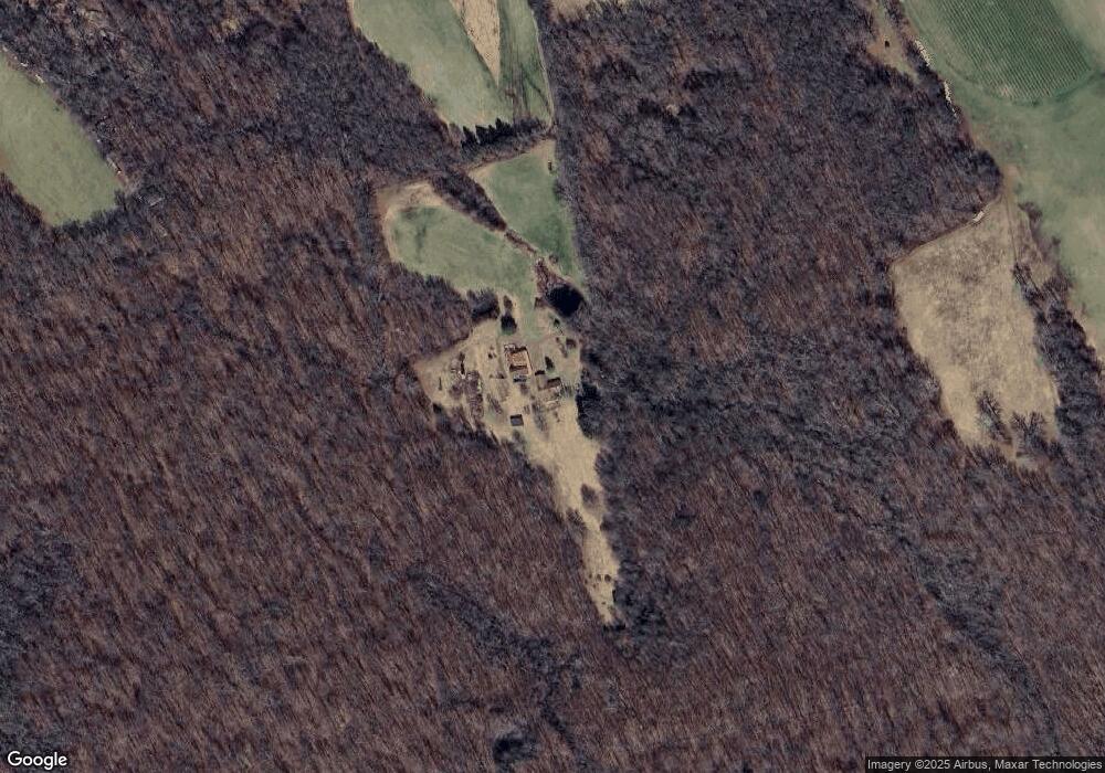
Map
Nearby Homes
- 40 Deborah Dr
- 710 Merrow Rd
- 471 Goose Ln
- 745 Merrow Rd Unit 102
- 745 Merrow Rd Unit 194
- 240 Merrow Rd
- 35 Fern Dr
- 20 Barlow Dr
- 28 Barlow Dr
- 331 Woodmont Dr
- 1295 N River Rd
- 45 Crystal Ln Unit D
- 527 Merrow Rd
- 226 Goose Ln
- 8 Walbridge Hill Rd
- 54 Barbara Dr
- 367 Riley Mountain Rd
- 167 Baxter Rd
- 312 Merrow Rd
- 284 Merrow Rd
- 400 Cassidy Hill Rd
- 324 Cassidy Hill Rd
- 340 Cassidy Hill Rd
- 90 David Dr
- 106 David Dr
- 50 David Dr
- 120 David Dr
- 40 David Dr
- 54 Tall Oak Dr
- 50 Tall Oak Dr
- 31 Deborah Dr
- 55 Wildwood Dr
- 51 Wildwood Dr
- 239 Geraldine Dr
- 255 Geraldine Dr
- 229 Geraldine Dr
- 32 David Dr
- 199 Cassidy Hill Rd
- 135 Cassidy Hill Rd
- 300 Cassidy Hill Rd