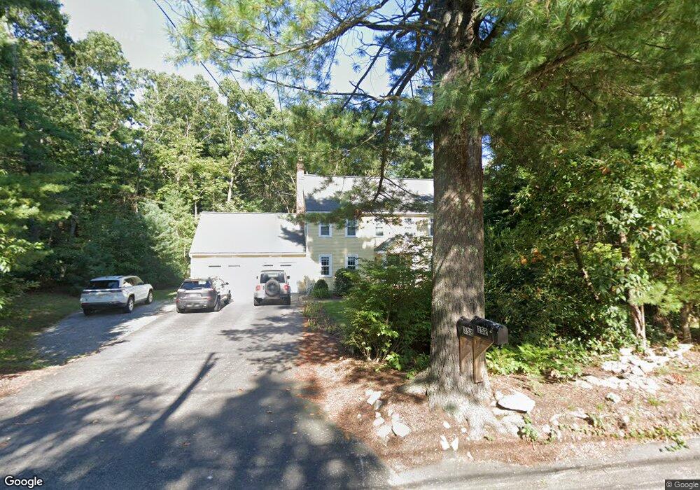
352 Chestnut St Wrentham, MA 02093
Sheldonville NeighborhoodEstimated Value: $725,000 - $899,000
4
Beds
3
Baths
2,080
Sq Ft
$383/Sq Ft
Est. Value
About This Home
This home is located at 352 Chestnut St, Wrentham, MA 02093 and is currently estimated at $796,098, approximately $382 per square foot. 352 Chestnut St is a home located in Norfolk County with nearby schools including Delaney Elementary School and Charles E Roderick.
Ownership History
Date
Name
Owned For
Owner Type
Purchase Details
Closed on
Jun 28, 1996
Sold by
Ricketson Jon C and Ricketson Elizabeth
Bought by
Brennan Stuart and Brennan Doris
Current Estimated Value
Home Financials for this Owner
Home Financials are based on the most recent Mortgage that was taken out on this home.
Original Mortgage
$75,000
Outstanding Balance
$5,331
Interest Rate
8.05%
Mortgage Type
Purchase Money Mortgage
Estimated Equity
$790,767
Purchase Details
Closed on
Jan 28, 1988
Sold by
Mcdonough Thomas F
Bought by
Ricketson Jon C
Home Financials for this Owner
Home Financials are based on the most recent Mortgage that was taken out on this home.
Original Mortgage
$175,000
Interest Rate
10.65%
Mortgage Type
Purchase Money Mortgage
Create a Home Valuation Report for This Property
The Home Valuation Report is an in-depth analysis detailing your home's value as well as a comparison with similar homes in the area
Home Values in the Area
Average Home Value in this Area
Purchase History
| Date | Buyer | Sale Price | Title Company |
|---|---|---|---|
| Brennan Stuart | $241,000 | -- | |
| Ricketson Jon C | $237,450 | -- |
Source: Public Records
Mortgage History
| Date | Status | Borrower | Loan Amount |
|---|---|---|---|
| Open | Ricketson Jon C | $75,000 | |
| Previous Owner | Ricketson Jon C | $175,000 |
Source: Public Records
Tax History Compared to Growth
Tax History
| Year | Tax Paid | Tax Assessment Tax Assessment Total Assessment is a certain percentage of the fair market value that is determined by local assessors to be the total taxable value of land and additions on the property. | Land | Improvement |
|---|---|---|---|---|
| 2025 | $7,975 | $688,100 | $322,500 | $365,600 |
| 2024 | $7,756 | $646,300 | $322,500 | $323,800 |
| 2023 | $7,460 | $591,100 | $293,300 | $297,800 |
| 2022 | $6,772 | $495,400 | $233,600 | $261,800 |
| 2021 | $6,175 | $438,900 | $197,900 | $241,000 |
| 2020 | $5,952 | $417,700 | $163,800 | $253,900 |
| 2019 | $5,991 | $424,300 | $182,000 | $242,300 |
| 2018 | $6,006 | $421,800 | $181,800 | $240,000 |
| 2017 | $5,888 | $413,200 | $178,300 | $234,900 |
| 2016 | $5,765 | $403,700 | $173,200 | $230,500 |
| 2015 | $5,751 | $383,900 | $166,500 | $217,400 |
| 2014 | $5,694 | $371,900 | $160,100 | $211,800 |
Source: Public Records
Map
Nearby Homes
- 440 Chestnut St
- 955 Summer St
- 80 Carriage House Ln
- 6 Woodchester Rd
- 50 Green St
- 0 Fall Ln
- 55 Lawrence Dr Unit 55
- 29 Lawrence Dr
- 791 South St Unit 5
- 1204 South St
- 732 King St
- Lot 1 - Blueberry 2 Car Plan at King Philip Estates
- Lot 8 - Blueberry 2 Car Plan at King Philip Estates
- Lot 5 - Hughes 2 car Plan at King Philip Estates
- Lot 6 - Blueberry 3 Car Plan at King Philip Estates
- Lot 2 - Camden 2 Car Plan at King Philip Estates
- Lot 7 - Cedar Plan at King Philip Estates
- Lot 4 - Hemingway 2 Car Plan at King Philip Estates
- Lot 3 - Blueberry 2 Car Plan at King Philip Estates
- 1222 South St
- 371 Chestnut St
- 356 Chestnut St
- 348 Chestnut St
- 359 Chestnut St
- 358 Chestnut St
- 381 Chestnut St
- 346 Chestnut St
- 5 Ingrid Dr
- 391 Chestnut St
- 15 Ingrid Dr
- 349 Chestnut St
- 360 Chestnut St
- 2 Ingrid Dr
- 20 Ingrid Dr
- 405 Chestnut St
- 287 Chestnut St
- 25 Whip Poor Will Cir
- 308 Chestnut St
- 15 Whip Poor Will Cir
- 380 Chestnut St