352 Crows Nest Dr Freeland, WA 98249
Estimated Value: $993,715 - $1,269,000
3
Beds
3
Baths
2,446
Sq Ft
$481/Sq Ft
Est. Value
About This Home
This home is located at 352 Crows Nest Dr, Freeland, WA 98249 and is currently estimated at $1,176,905, approximately $481 per square foot. 352 Crows Nest Dr is a home located in Island County with nearby schools including South Whidbey Elementary School, South Whidbey Middle School, and South Whidbey High School.
Ownership History
Date
Name
Owned For
Owner Type
Purchase Details
Closed on
Dec 30, 2020
Sold by
Dewolfe Russell J and Dewolfe Harriet L
Bought by
Dewolfe Russell J and Dewolfe Harriet L
Current Estimated Value
Home Financials for this Owner
Home Financials are based on the most recent Mortgage that was taken out on this home.
Original Mortgage
$960,000
Interest Rate
2.34%
Mortgage Type
Reverse Mortgage Home Equity Conversion Mortgage
Create a Home Valuation Report for This Property
The Home Valuation Report is an in-depth analysis detailing your home's value as well as a comparison with similar homes in the area
Home Values in the Area
Average Home Value in this Area
Purchase History
| Date | Buyer | Sale Price | Title Company |
|---|---|---|---|
| Dewolfe Russell J | -- | Wfg National Title Co |
Source: Public Records
Mortgage History
| Date | Status | Borrower | Loan Amount |
|---|---|---|---|
| Closed | Dewolfe Russell J | $960,000 |
Source: Public Records
Tax History Compared to Growth
Tax History
| Year | Tax Paid | Tax Assessment Tax Assessment Total Assessment is a certain percentage of the fair market value that is determined by local assessors to be the total taxable value of land and additions on the property. | Land | Improvement |
|---|---|---|---|---|
| 2025 | $5,526 | $792,685 | $420,000 | $372,685 |
| 2024 | $5,066 | $767,637 | $390,000 | $377,637 |
| 2023 | $5,066 | $772,590 | $390,000 | $382,590 |
| 2022 | $4,458 | $700,922 | $350,000 | $350,922 |
| 2021 | $4,317 | $559,057 | $250,000 | $309,057 |
| 2020 | $4,055 | $552,006 | $250,000 | $302,006 |
| 2019 | $4,082 | $532,114 | $300,000 | $232,114 |
| 2018 | $4,006 | $532,874 | $300,000 | $232,874 |
| 2017 | $3,566 | $484,393 | $250,000 | $234,393 |
| 2016 | $3,703 | $472,430 | $235,000 | $237,430 |
| 2015 | -- | $475,469 | $235,000 | $240,469 |
| 2013 | -- | $448,657 | $202,000 | $246,657 |
Source: Public Records
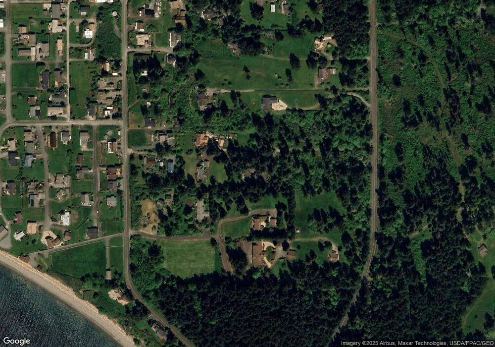
Map
Nearby Homes
- 4957 Scurlock Rd
- 287 Fairhaven Dr
- 330 Susana Dr
- 381 Susana Dr
- 111 Shippin Ln
- 4781 Smugglers Cove Rd
- 898 E Meadowood Ln
- 5392 Shore Meadow Rd
- 6425 RS Undisclosed
- 0 Lot 9 Evergreen Ln
- 1059 Evergreen Ln
- 0 Woodland Ln Unit NWM2362874
- 802 Old Beach Rd Unit 201
- 1231 Red Fox Ln
- 971 Ridge Dr
- 1031 Timber Ln
- 0 Ships Haven Dr Unit NWM2414859
- 1249 Long Dr
- 1110 Bush Point Rd
- 5032 Eagle Ridge Dr
- 337 Windantide Place
- 330 Crows Nest Dr
- 339 Crows Nest Dr
- 331 Windantide Place
- 331 Windantide Place
- 331 Windantide Place
- 336 Windantide Place
- 4938 Smugglers Cove Rd
- 4940 Smugglers Cove Rd
- 4945 Scurlock Rd
- 4937 Scurlock Rd
- 4919 Scurlock Rd
- 4922 Smugglers Cove Rd
- 5041 S Smugglers Cove Rd
- 4910 Smugglers Cove Rd
- 4950 Scurlock Rd
- 4962 Scurlock Rd
- 4946 Scurlock Rd
- 4967 Beacon Place
- 4917 Scurlock Rd