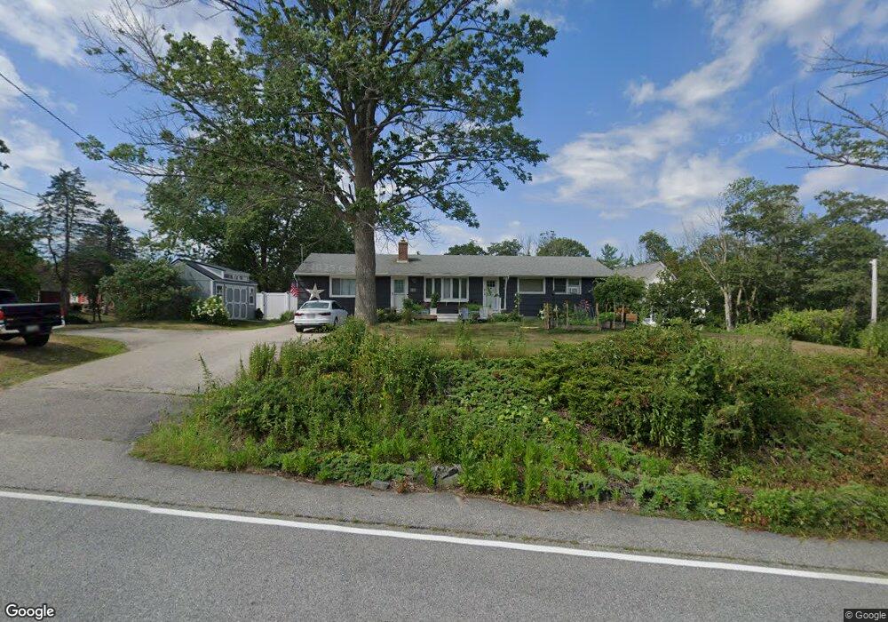
352 Haley Rd Kittery Point, ME 03905
Estimated Value: $751,563 - $1,125,000
3
Beds
3
Baths
1,716
Sq Ft
$510/Sq Ft
Est. Value
About This Home
This home is located at 352 Haley Rd, Kittery Point, ME 03905 and is currently estimated at $874,641, approximately $509 per square foot. 352 Haley Rd is a home with nearby schools including Horace Mitchell Primary School, Shapleigh School, and Robert W Traip Academy.
Ownership History
Date
Name
Owned For
Owner Type
Purchase Details
Closed on
Jul 26, 2006
Sold by
Emery Jean M and Emery Robert E
Bought by
Emery Robert L and Emery Stacy-Lee
Current Estimated Value
Home Financials for this Owner
Home Financials are based on the most recent Mortgage that was taken out on this home.
Original Mortgage
$325,000
Interest Rate
8%
Mortgage Type
Commercial
Create a Home Valuation Report for This Property
The Home Valuation Report is an in-depth analysis detailing your home's value as well as a comparison with similar homes in the area
Home Values in the Area
Average Home Value in this Area
Purchase History
| Date | Buyer | Sale Price | Title Company |
|---|---|---|---|
| Emery Robert L | -- | -- |
Source: Public Records
Mortgage History
| Date | Status | Borrower | Loan Amount |
|---|---|---|---|
| Closed | Emery Robert L | $325,000 |
Source: Public Records
Tax History
| Year | Tax Paid | Tax Assessment Tax Assessment Total Assessment is a certain percentage of the fair market value that is determined by local assessors to be the total taxable value of land and additions on the property. | Land | Improvement |
|---|---|---|---|---|
| 2024 | $7,749 | $545,700 | $113,700 | $432,000 |
| 2023 | $7,427 | $545,700 | $113,700 | $432,000 |
| 2022 | $7,356 | $545,700 | $113,700 | $432,000 |
| 2021 | $7,036 | $541,200 | $113,700 | $427,500 |
| 2020 | $6,981 | $541,200 | $113,700 | $427,500 |
| 2019 | $1,355 | $439,800 | $72,800 | $367,000 |
| 2018 | $7,389 | $439,800 | $72,800 | $367,000 |
| 2017 | $0 | $397,700 | $72,800 | $324,900 |
| 2016 | $4,003 | $249,400 | $72,800 | $176,600 |
| 2015 | $3,908 | $249,400 | $72,800 | $176,600 |
| 2014 | $3,871 | $249,400 | $72,800 | $176,600 |
| 2013 | $3,796 | $249,400 | $72,800 | $176,600 |
Source: Public Records
Map
Nearby Homes
- 8 Spruce Point Rd
- 30 Drake Ln
- 25 Bartlett Rd
- 12 Gillis Dr Unit 3
- 3 Izzy Ln
- 13 Cross St
- 100 Shepard's Cove Rd Unit F204
- 100 Shepard's Cove Rd Unit G107
- 100 Shepards Cove Rd Unit F204
- 50 Lewis Rd
- 18 Washburn Farm Ln Unit 4
- 7 Washburn Farm Ln Unit 9
- 2 Washburn Farm Ln Unit 1
- 4 Trefethen Ave
- 12 Washburn Farm Ln Unit 3
- 10 Lewis Rd
- 13 Washburn Farm Ln Unit 7
- 29 Main St
- 19 Aspen Cir
- 19 Seward Farm Ln
Your Personal Tour Guide
Ask me questions while you tour the home.