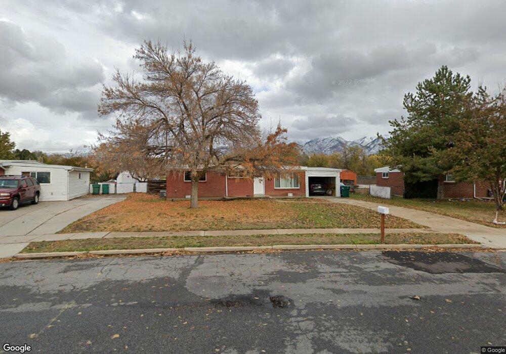
352 Hawthorne St Layton, UT 84041
Estimated Value: $344,000 - $396,000
3
Beds
1
Bath
960
Sq Ft
$389/Sq Ft
Est. Value
About This Home
This home is located at 352 Hawthorne St, Layton, UT 84041 and is currently estimated at $373,701, approximately $389 per square foot. 352 Hawthorne St is a home located in Davis County with nearby schools including Crestview Elementary School, Central Davis Junior High School, and Layton High School.
Ownership History
Date
Name
Owned For
Owner Type
Purchase Details
Closed on
Oct 28, 2021
Sold by
Arnett Robert and Arnett Lanie
Bought by
Spencer Daniel
Current Estimated Value
Home Financials for this Owner
Home Financials are based on the most recent Mortgage that was taken out on this home.
Original Mortgage
$338,751
Outstanding Balance
$309,842
Interest Rate
3.01%
Mortgage Type
FHA
Estimated Equity
$63,859
Purchase Details
Closed on
Jun 28, 2021
Sold by
Dnr Holdings Llc
Bought by
Arnett Robert and Arnett Lanie
Purchase Details
Closed on
Jun 11, 2021
Sold by
Smith Dean Carlton and Estate Of Memory C Smith
Bought by
Dmr Holdings Llc
Create a Home Valuation Report for This Property
The Home Valuation Report is an in-depth analysis detailing your home's value as well as a comparison with similar homes in the area
Home Values in the Area
Average Home Value in this Area
Purchase History
| Date | Buyer | Sale Price | Title Company |
|---|---|---|---|
| Spencer Daniel | -- | Skyline Title Llc | |
| Arnett Robert | -- | Monument Title Ins Inc | |
| Dmr Holdings Llc | -- | Monument Title Ins |
Source: Public Records
Mortgage History
| Date | Status | Borrower | Loan Amount |
|---|---|---|---|
| Open | Spencer Daniel | $338,751 |
Source: Public Records
Tax History Compared to Growth
Tax History
| Year | Tax Paid | Tax Assessment Tax Assessment Total Assessment is a certain percentage of the fair market value that is determined by local assessors to be the total taxable value of land and additions on the property. | Land | Improvement |
|---|---|---|---|---|
| 2025 | $1,640 | $172,150 | $103,254 | $68,896 |
| 2024 | $1,701 | $179,850 | $120,237 | $59,613 |
| 2023 | $1,695 | $316,000 | $142,251 | $173,749 |
| 2022 | $1,761 | $178,200 | $75,418 | $102,782 |
| 2021 | $1,358 | $205,000 | $106,338 | $98,662 |
| 2020 | $1,222 | $177,000 | $89,245 | $87,755 |
| 2019 | $1,213 | $172,000 | $84,552 | $87,448 |
| 2018 | $1,075 | $153,000 | $84,552 | $68,448 |
| 2016 | $840 | $61,710 | $27,162 | $34,548 |
| 2015 | $801 | $55,825 | $27,162 | $28,663 |
| 2014 | $665 | $47,444 | $27,162 | $20,282 |
| 2013 | -- | $51,422 | $18,612 | $32,810 |
Source: Public Records
Map
Nearby Homes
- 441 Church St
- 480 Spurlock St
- 495 Spurlock St
- 142 Green Dr
- 6 Grover St
- 157 N Fort Ln Unit A
- 356 W 25 N
- 355 W Gentile St
- 785 Sherwood Dr
- 174 W Dawson St
- 485 W 100 N
- 551 Colonial St
- 937 Rainbow Dr
- 526 King St Unit 2
- 60 S Whitesides St
- 654 Colonial St
- 794 Valeria Dr
- 806 Valeria Dr
- 267 S Melody St
- 712 E Aspen East Dr
- 352 Hawthorne Dr
- 340 Hawthorne St
- 364 Hawthorne Dr
- 330 Hawthorne Dr
- 330 Hawthorne St
- 418 Church St
- 341 Hawthorne St
- 367 Hawthorne Dr
- 316 Hawthorne Dr
- 325 Hawthorne St
- 316 Hawthorne St
- 304 Hawthorne Dr
- 303 Hawthorne St
- 304 Hawthorne St
- 350 Church St
- 395 Church St
- 391 Spurlock St
- 411 Church St
- 423 Church St
- 291 Aspen St