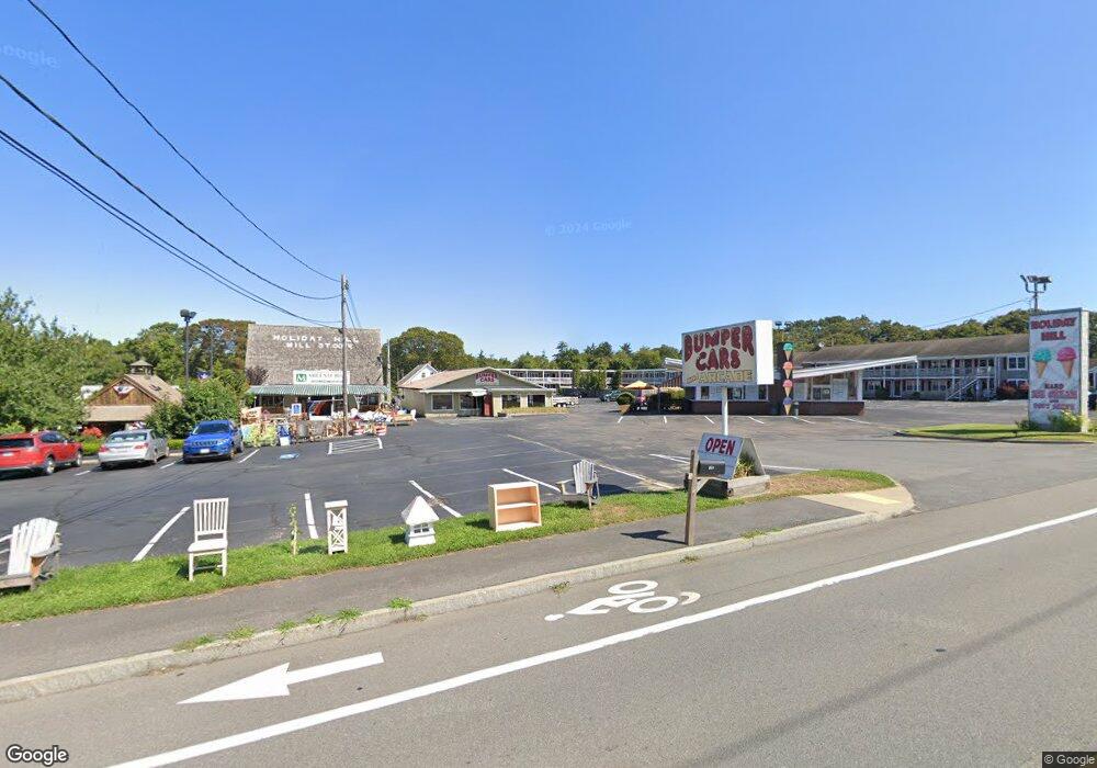
352 Main St Dennis Port, MA 2639
Dennis Port Neighborhood
--
Bed
--
Bath
--
Sq Ft
2.51
Acres
About This Home
This home is located at 352 Main St, Dennis Port, MA 2639. 352 Main St is a home located in Barnstable County with nearby schools including Dennis-Yarmouth Regional High School and St. Pius X. School.
Ownership History
Date
Name
Owned For
Owner Type
Purchase Details
Closed on
Dec 7, 2023
Sold by
Mary Shiverick Fishler T and Mary Fishler
Bought by
Fishler Bennett H and Fisk Mary S
Purchase Details
Closed on
Mar 20, 2015
Sold by
Arthur Shiverick T and Arthur Fisk
Bought by
Shiverick Fisher T and Shiverick Hill
Purchase Details
Closed on
Dec 30, 1994
Sold by
King Elizabeth J
Bought by
Baroni Robert L and Baroni Thomas M
Home Financials for this Owner
Home Financials are based on the most recent Mortgage that was taken out on this home.
Original Mortgage
$51,200
Interest Rate
9.2%
Mortgage Type
Commercial
Create a Home Valuation Report for This Property
The Home Valuation Report is an in-depth analysis detailing your home's value as well as a comparison with similar homes in the area
Home Values in the Area
Average Home Value in this Area
Purchase History
| Date | Buyer | Sale Price | Title Company |
|---|---|---|---|
| Fishler Bennett H | -- | None Available | |
| Shiverick Fisher T | -- | -- | |
| Shiverick Fisher T | -- | -- | |
| Winters Charles | -- | -- | |
| Baroni Robert L | $83,107 | -- |
Source: Public Records
Mortgage History
| Date | Status | Borrower | Loan Amount |
|---|---|---|---|
| Previous Owner | Baroni Robert L | $265,400 | |
| Previous Owner | Baroni Robert L | $51,200 |
Source: Public Records
Tax History Compared to Growth
Tax History
| Year | Tax Paid | Tax Assessment Tax Assessment Total Assessment is a certain percentage of the fair market value that is determined by local assessors to be the total taxable value of land and additions on the property. | Land | Improvement |
|---|---|---|---|---|
| 2025 | $14,027 | $3,239,500 | $636,100 | $2,603,400 |
| 2024 | $12,610 | $2,872,400 | $612,900 | $2,259,500 |
| 2023 | $12,711 | $2,721,800 | $583,700 | $2,138,100 |
| 2022 | $13,772 | $2,459,300 | $504,800 | $1,954,500 |
| 2021 | $14,147 | $2,346,100 | $494,900 | $1,851,200 |
| 2020 | $13,966 | $2,289,500 | $480,800 | $1,808,700 |
| 2019 | $14,051 | $2,277,300 | $480,800 | $1,796,500 |
| 2018 | $14,578 | $2,299,300 | $480,800 | $1,818,500 |
| 2017 | $14,171 | $2,304,300 | $480,800 | $1,823,500 |
| 2016 | $15,031 | $2,301,900 | $480,800 | $1,821,100 |
| 2015 | $12,701 | $1,984,600 | $480,800 | $1,503,800 |
| 2014 | $10,633 | $1,674,500 | $480,800 | $1,193,700 |
Source: Public Records
Map
Nearby Homes
- 268 Main St
- 104 Toms Path
- 104 Toms Path
- 10 Candlewood Ln Unit 2-1
- 12 Candlewood Ln Unit 2-9
- 12 Candlewood Ln Unit 1-6
- 9 Country Ln
- 125 Main St Unit 3
- 12 Cross St
- 4 Coffey Ln
- 78 Upper County Rd Unit A&B
- 78 Upper County Rd
- 18 Holiday Ln
- 71 Main St
- 24 Indian Trail
- 47 Telegraph Rd Unit 1
- 22 Ferncliff Rd
- 102 Sea St
- 141 Division St
- 141 Division St