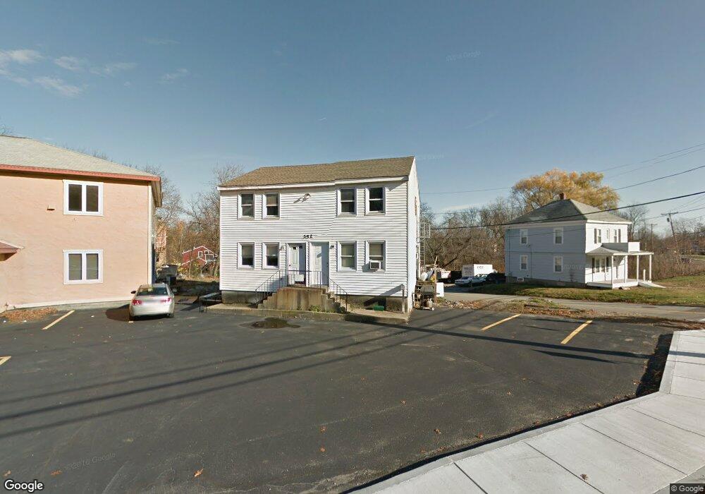
352 Main St Tewksbury, MA 01876
Estimated Value: $680,354 - $771,000
4
Beds
4
Baths
1,920
Sq Ft
$369/Sq Ft
Est. Value
About This Home
This home is located at 352 Main St, Tewksbury, MA 01876 and is currently estimated at $707,839, approximately $368 per square foot. 352 Main St is a home located in Middlesex County with nearby schools including John F. Ryan Elementary School, John W. Wynn Middle School, and Tewksbury Memorial High School.
Ownership History
Date
Name
Owned For
Owner Type
Purchase Details
Closed on
Sep 30, 2021
Sold by
Oat Rt
Bought by
D & K Capital Llc
Current Estimated Value
Home Financials for this Owner
Home Financials are based on the most recent Mortgage that was taken out on this home.
Original Mortgage
$750,000
Outstanding Balance
$683,930
Interest Rate
2.8%
Mortgage Type
Purchase Money Mortgage
Estimated Equity
$23,909
Purchase Details
Closed on
Nov 2, 2006
Sold by
Dj Rt and Murphy Kathleen A
Bought by
Oat Rt and Torres Oscar A
Create a Home Valuation Report for This Property
The Home Valuation Report is an in-depth analysis detailing your home's value as well as a comparison with similar homes in the area
Home Values in the Area
Average Home Value in this Area
Purchase History
| Date | Buyer | Sale Price | Title Company |
|---|---|---|---|
| D & K Capital Llc | $1,050,000 | None Available | |
| Oat Rt | $300,000 | -- |
Source: Public Records
Mortgage History
| Date | Status | Borrower | Loan Amount |
|---|---|---|---|
| Open | D & K Capital Llc | $750,000 |
Source: Public Records
Tax History Compared to Growth
Tax History
| Year | Tax Paid | Tax Assessment Tax Assessment Total Assessment is a certain percentage of the fair market value that is determined by local assessors to be the total taxable value of land and additions on the property. | Land | Improvement |
|---|---|---|---|---|
| 2025 | $7,245 | $548,000 | $251,000 | $297,000 |
| 2024 | $7,178 | $536,100 | $239,100 | $297,000 |
| 2023 | $6,895 | $489,000 | $217,400 | $271,600 |
| 2022 | $6,569 | $432,200 | $189,100 | $243,100 |
| 2021 | $5,870 | $373,400 | $162,800 | $210,600 |
| 2020 | $5,676 | $355,400 | $155,000 | $200,400 |
| 2019 | $5,265 | $332,400 | $147,700 | $184,700 |
| 2018 | $5,626 | $348,800 | $164,100 | $184,700 |
| 2017 | $5,369 | $329,200 | $164,100 | $165,100 |
| 2016 | $5,382 | $329,200 | $164,100 | $165,100 |
| 2015 | $5,309 | $324,300 | $159,200 | $165,100 |
| 2014 | $5,038 | $312,700 | $159,200 | $153,500 |
Source: Public Records
Map
Nearby Homes
- 164 Astle St
- 10 Babicz Rd
- 31 Wells Dr
- 71 Secor Way
- 251 Whipple Rd
- 347 Astle St
- 101 Squire Ln
- 72 N Billerica Rd
- 11 Nelson Ave
- 357 Boylston St Unit 2
- 65 Martin Rd
- 18 Newton Ave
- 141 Commonwealth Ave
- 1117 Emerald Ct
- 11 Emerald Ct
- 90 Roper St Unit G
- 74 Roper St Unit C
- 32 Rockingham St Unit A
- 70 Enfield St
- 1199 Lawrence St
- 352 Main St Unit 2
- 346 Main St
- 360 Main St
- 24 Littlefield Ave
- 336 Main St
- 336 Old Main St
- 31 Veranda Ave
- 332 Old Main St
- 332 Main St
- 33 Veranda Ave
- 28 Littlefield Ave
- 38 Littlefield Ave
- 15 Astle St
- 15 Astle St
- 361 Main St Unit D
- 361 Main St Unit 3
- 361 Main St Unit 5
- 361 Main St
- 361 Main St Unit 4
- 361 Main St Unit 2