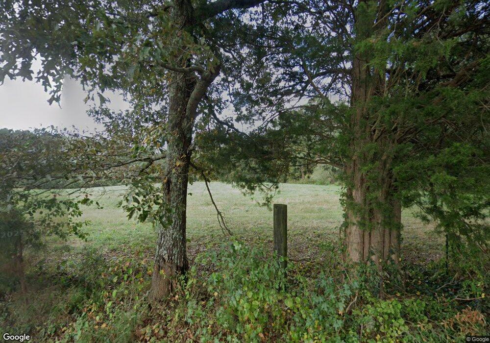
352 Melear Rd Bowdon, GA 30108
Estimated Value: $270,000 - $808,890
3
Beds
1
Bath
1,710
Sq Ft
$355/Sq Ft
Est. Value
About This Home
This home is located at 352 Melear Rd, Bowdon, GA 30108 and is currently estimated at $606,630, approximately $354 per square foot. 352 Melear Rd is a home located in Carroll County with nearby schools including Mt. Zion Elementary School, Mt. Zion Middle School, and Mt. Zion High School.
Ownership History
Date
Name
Owned For
Owner Type
Purchase Details
Closed on
Aug 18, 2025
Sold by
Robinson Jimmy
Bought by
Robinson Jimmy and Robinson Patsy K
Current Estimated Value
Purchase Details
Closed on
Mar 25, 2025
Sold by
Robinson Jimmy
Bought by
Robinson Patsy
Purchase Details
Closed on
Feb 25, 2025
Sold by
Upchurch Shirley Robinson
Bought by
Upchurch Charles and Upchurch Shirley Robinson
Purchase Details
Closed on
Sep 4, 2007
Sold by
Fuentes Jose A
Bought by
Rubio Jose M
Purchase Details
Closed on
Mar 1, 1999
Sold by
Robinson John M
Bought by
Robinson Evelyn
Purchase Details
Closed on
Feb 17, 1962
Bought by
Robinson
Create a Home Valuation Report for This Property
The Home Valuation Report is an in-depth analysis detailing your home's value as well as a comparison with similar homes in the area
Home Values in the Area
Average Home Value in this Area
Purchase History
| Date | Buyer | Sale Price | Title Company |
|---|---|---|---|
| Robinson Jimmy | -- | -- | |
| Robinson Patsy | -- | -- | |
| Upchurch Charles | -- | -- | |
| Upchurch Shirley Robinson | -- | -- | |
| Robinson Franky | -- | -- | |
| Robinson Jimmy | -- | -- | |
| Hamm Charlotte | -- | -- | |
| Rubio Jose M | $149,900 | -- | |
| Robinson Evelyn | -- | -- | |
| Robinson | -- | -- |
Source: Public Records
Tax History Compared to Growth
Tax History
| Year | Tax Paid | Tax Assessment Tax Assessment Total Assessment is a certain percentage of the fair market value that is determined by local assessors to be the total taxable value of land and additions on the property. | Land | Improvement |
|---|---|---|---|---|
| 2025 | $3,154 | $140,987 | $131,620 | $9,367 |
| 2024 | $7,044 | $311,393 | $302,026 | $9,367 |
| 2023 | $7,044 | $250,230 | $241,622 | $8,608 |
| 2022 | $4,294 | $171,199 | $161,080 | $10,119 |
| 2021 | $3,858 | $150,478 | $128,866 | $21,612 |
| 2020 | $3,479 | $135,554 | $117,150 | $18,404 |
| 2019 | $114 | $134,487 | $117,150 | $17,337 |
| 2018 | $196 | $133,595 | $117,150 | $16,445 |
| 2017 | $185 | $133,595 | $117,150 | $16,445 |
| 2016 | $173 | $133,595 | $117,150 | $16,445 |
| 2015 | $482 | $96,280 | $78,832 | $17,448 |
| 2014 | $476 | $96,280 | $78,832 | $17,448 |
Source: Public Records
Map
Nearby Homes
- 709 Melear Rd
- 6058 Mount Zion Rd
- 1001 Vong St
- 2387 5 Points Rd
- 409 Lively Rd
- 415 Lively Rd
- 419 Lively Rd
- 786 Moon Rd
- 533 Lively Rd
- 263 Buncombe Waco Rd
- 280 Levi-Patterson Rd
- 0 N Highway 100 Unit TRACT 2 10571032
- 0 N Highway 100 Unit TRACT 3 10571036
- 0 N Highway 100 Unit TRACT 4 10571038
- 0 Martin St Unit 10658590
- 760 Carlton Johnson Rd
- 610 Old Pleasant Hill Rd
- 231 Buncombe-Waco Rd
- 231 Buncombe-Waco Rd Unit 44
- 436 S Prospect Ave
- 234 Melear Rd
- 471 Melear Rd
- 498 Melear Rd
- 1755 Kansas Jake Rd
- 540 Melear Rd
- 563 Melear Rd
- 555 Melear Rd
- 1291 Kansas Jake Rd
- 1463 Kansas Jake Rd
- 1675 Kansas Jake Rd
- 94 Wantland Rd
- 671 Melear Rd
- 1665 Kansas Jake Rd
- 679 Melear Rd
- 1556 Kansas Jake Rd
- 1226 Kansas Jake Rd
- 1330 Kansas Jake Rd
- 1340 Kansas Jake Rd
- 100 Wantland Rd
- 1750 Kansas Jake Rd
