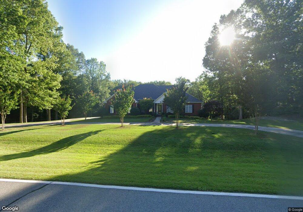
352 Minix Rd Sharpsburg, GA 30277
Estimated Value: $724,000 - $789,000
4
Beds
4
Baths
4,705
Sq Ft
$160/Sq Ft
Est. Value
About This Home
This home is located at 352 Minix Rd, Sharpsburg, GA 30277 and is currently estimated at $754,375, approximately $160 per square foot. 352 Minix Rd is a home located in Coweta County with nearby schools including Thomas Crossroads Elementary School, Lee Middle School, and Northgate High School.
Ownership History
Date
Name
Owned For
Owner Type
Purchase Details
Closed on
Aug 7, 2020
Sold by
Tovar Mark A
Bought by
Neargardner John Joseph and Neargardner Berenda Jean
Current Estimated Value
Home Financials for this Owner
Home Financials are based on the most recent Mortgage that was taken out on this home.
Original Mortgage
$267,500
Outstanding Balance
$236,757
Interest Rate
3%
Mortgage Type
New Conventional
Estimated Equity
$517,618
Purchase Details
Closed on
Sep 17, 1999
Bought by
Tovar Mark A and Tovar Sandr
Create a Home Valuation Report for This Property
The Home Valuation Report is an in-depth analysis detailing your home's value as well as a comparison with similar homes in the area
Home Values in the Area
Average Home Value in this Area
Purchase History
| Date | Buyer | Sale Price | Title Company |
|---|---|---|---|
| Neargardner John Joseph | $467,500 | -- | |
| Tovar Mark A | $43,000 | -- |
Source: Public Records
Mortgage History
| Date | Status | Borrower | Loan Amount |
|---|---|---|---|
| Open | Neargardner John Joseph | $267,500 |
Source: Public Records
Tax History Compared to Growth
Tax History
| Year | Tax Paid | Tax Assessment Tax Assessment Total Assessment is a certain percentage of the fair market value that is determined by local assessors to be the total taxable value of land and additions on the property. | Land | Improvement |
|---|---|---|---|---|
| 2025 | $3,782 | $236,677 | $59,360 | $177,317 |
| 2024 | $4,096 | $236,143 | $55,477 | $180,666 |
| 2023 | $4,096 | $198,066 | $51,368 | $146,698 |
| 2022 | $3,438 | $198,186 | $51,368 | $146,818 |
| 2021 | $3,354 | $186,104 | $51,496 | $134,608 |
| 2020 | $4,388 | $208,173 | $73,565 | $134,608 |
| 2019 | $2,652 | $119,543 | $41,498 | $78,044 |
| 2018 | $3,365 | $119,543 | $41,498 | $78,044 |
| 2017 | $3,364 | $119,543 | $41,498 | $78,045 |
| 2016 | $3,326 | $119,543 | $41,498 | $78,044 |
| 2015 | $3,272 | $119,543 | $41,498 | $78,044 |
| 2014 | $3,248 | $119,543 | $41,498 | $78,044 |
Source: Public Records
Map
Nearby Homes
- 164 Westberry St
- 156 Westberry St
- 916 Gambino Trace
- 10 Queens Ct
- 115 Platinum Ridge
- 144 Westberry St
- 515 Palmer Ave
- 126 Mulberry Ct
- 757 Fischer Rd
- 406 Southbridge Pass
- 208 Silver Maple Ct
- 195 Mapledale Trail Unit 4
- 107 Iron Oak Dr
- 218 Florence Rd
- 125 Red Maple Dr
- 223 Sweetbay Ct
- 324 Elkins Place
- 113 Fairgate Dr
- 120 Red Maple Dr
- 549 Colebrook Way