Estimated Value: $254,000 - $347,541
3
Beds
1
Bath
1,222
Sq Ft
$258/Sq Ft
Est. Value
About This Home
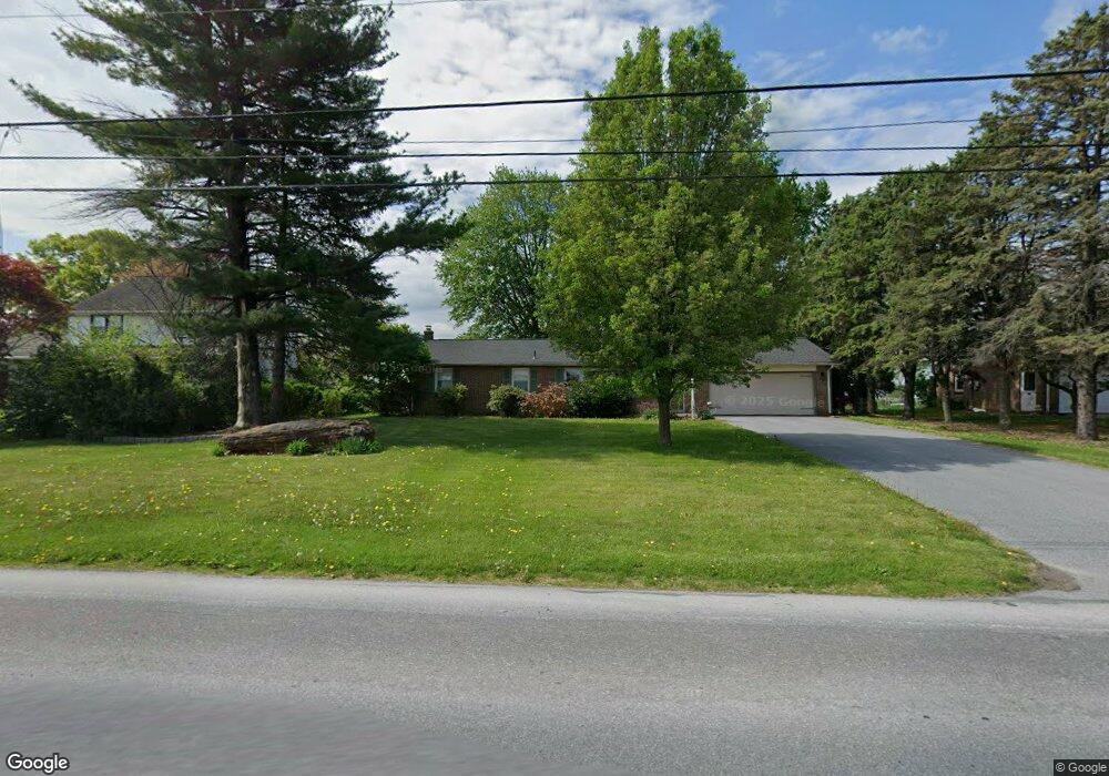
This home is located at 352 Newport Rd, Leola, PA 17540 and is currently estimated at $315,635, approximately $258 per square foot. 352 Newport Rd is a home located in Lancaster County with nearby schools including Leola Elementary School, Gerald G. Huesken Middle School, and Conestoga Valley High School.
Ownership History
Date
Name
Owned For
Owner Type
Purchase Details
Closed on
Oct 30, 2018
Sold by
Gamble Susie A
Bought by
Stoltzfus Daniel S
Current Estimated Value
Home Financials for this Owner
Home Financials are based on the most recent Mortgage that was taken out on this home.
Original Mortgage
$160,000
Outstanding Balance
$140,110
Interest Rate
4.6%
Mortgage Type
Purchase Money Mortgage
Estimated Equity
$175,525
Create a Home Valuation Report for This Property
The Home Valuation Report is an in-depth analysis detailing your home's value as well as a comparison with similar homes in the area
Home Values in the Area
Average Home Value in this Area
Purchase History
| Date | Buyer | Sale Price | Title Company |
|---|---|---|---|
| Stoltzfus Daniel S | $200,000 | None Available |
Source: Public Records
Mortgage History
| Date | Status | Borrower | Loan Amount |
|---|---|---|---|
| Open | Stoltzfus Daniel S | $160,000 |
Source: Public Records
Tax History Compared to Growth
Tax History
| Year | Tax Paid | Tax Assessment Tax Assessment Total Assessment is a certain percentage of the fair market value that is determined by local assessors to be the total taxable value of land and additions on the property. | Land | Improvement |
|---|---|---|---|---|
| 2025 | $4,021 | $201,200 | $67,300 | $133,900 |
| 2024 | $4,021 | $201,200 | $67,300 | $133,900 |
| 2023 | $3,938 | $201,200 | $67,300 | $133,900 |
| 2022 | $3,839 | $201,200 | $67,300 | $133,900 |
| 2021 | $3,702 | $201,200 | $67,300 | $133,900 |
| 2020 | $3,702 | $201,200 | $67,300 | $133,900 |
| 2019 | $3,622 | $201,200 | $67,300 | $133,900 |
| 2018 | $5,198 | $201,200 | $67,300 | $133,900 |
| 2017 | $2,887 | $133,300 | $34,000 | $99,300 |
| 2016 | $2,847 | $133,300 | $34,000 | $99,300 |
| 2015 | $724 | $133,300 | $34,000 | $99,300 |
| 2014 | $1,882 | $133,300 | $34,000 | $99,300 |
Source: Public Records
Map
Nearby Homes
- 68 Horseshoe Rd
- 248 E Main St
- 39 N Maple Ave
- 425 Mill Creek Rd
- 71 Apricot Ave
- 339 Enterprise Dr
- 323 Enterprise Dr
- 70 Hellers Church Rd
- 259 Raspberry Rd
- 466 E Main St
- 456 Brendon Dr
- 2596 Old Philadelphia Pike
- 103 Fairhill Dr
- 2498 Old Philadelphia Park
- 130 Snapdragon Dr
- 753 Walnut St
- 2453 Lincoln Hwy E
- 3474 Old Philadelphia Unit 2
- 7 Pleasant Dr
- 2234 Coach Light Ln
- 350 Newport Rd
- 356 W Newport Rd
- 360 Newport Rd
- 348 Newport Rd
- 362 W Newport Rd
- 355 Monterey Rd
- 367 Monterey Rd
- 366 W Newport Rd
- 371 Monterey Rd
- 344 Newport Rd
- 370 W Newport Rd
- 342 Newport Rd
- 376 W Newport Rd
- 338 Newport Rd
- 336 Newport Rd
- 331 Newport Rd
- 330 Newport Rd
- 382 W Newport Rd
- 328 Newport Rd
- 325 Newport Rd