352 River Dr Dahlonega, GA 30533
Estimated Value: $992,139 - $1,252,000
--
Bed
1
Bath
4,376
Sq Ft
$255/Sq Ft
Est. Value
About This Home
This home is located at 352 River Dr, Dahlonega, GA 30533 and is currently estimated at $1,117,046, approximately $255 per square foot. 352 River Dr is a home with nearby schools including Lumpkin County High School.
Ownership History
Date
Name
Owned For
Owner Type
Purchase Details
Closed on
Apr 26, 2019
Sold by
Adams Gerald L
Bought by
Upchurch Bryan
Current Estimated Value
Purchase Details
Closed on
Feb 12, 2008
Sold by
Adams Gerald L
Bought by
Adams Gerald L
Purchase Details
Closed on
Nov 12, 2007
Sold by
Not Provided
Bought by
Adams Gerald and Adams Camilla
Purchase Details
Closed on
Sep 21, 2007
Sold by
Not Provided
Bought by
Adams Gerald and Adams Camilla
Purchase Details
Closed on
Nov 21, 2000
Sold by
Adams Allan M
Bought by
Adams Allan M
Purchase Details
Closed on
Nov 1, 1986
Bought by
Adams Allan M
Create a Home Valuation Report for This Property
The Home Valuation Report is an in-depth analysis detailing your home's value as well as a comparison with similar homes in the area
Home Values in the Area
Average Home Value in this Area
Purchase History
| Date | Buyer | Sale Price | Title Company |
|---|---|---|---|
| Upchurch Bryan | $50,000 | -- | |
| Adams Gerald L | -- | -- | |
| Adams Gerald | -- | -- | |
| Adams Gerald | -- | -- | |
| Adams Allan M | -- | -- | |
| Adams Allan M | -- | -- |
Source: Public Records
Tax History Compared to Growth
Tax History
| Year | Tax Paid | Tax Assessment Tax Assessment Total Assessment is a certain percentage of the fair market value that is determined by local assessors to be the total taxable value of land and additions on the property. | Land | Improvement |
|---|---|---|---|---|
| 2024 | $7,322 | $313,457 | $38,280 | $275,177 |
| 2023 | $6,861 | $291,716 | $31,262 | $260,454 |
| 2022 | $6,902 | $278,808 | $31,262 | $247,546 |
| 2021 | $5,897 | $230,352 | $22,330 | $208,022 |
| 2020 | $589 | $22,330 | $22,330 | $0 |
| 2019 | $594 | $22,330 | $22,330 | $0 |
| 2018 | $634 | $22,330 | $22,330 | $0 |
| 2017 | $646 | $22,330 | $22,330 | $0 |
| 2016 | $668 | $22,330 | $22,330 | $0 |
| 2015 | -- | $22,330 | $22,330 | $0 |
| 2014 | -- | $22,330 | $22,330 | $0 |
| 2013 | -- | $22,330 | $22,330 | $0 |
Source: Public Records
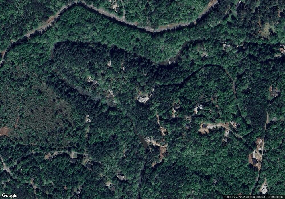
Map
Nearby Homes
- 150 Buck Run E
- 33 T J Mote Rd
- 33 Tj Mote Rd
- 194 Deerfield Dr
- 486 Laurel Cir
- 221 Laurel Cir
- 50 Loyal Dr
- 0 Rainmore Dr Unit 7620063
- 0 Rainmore Dr Unit 10570615
- 190 Grand Oak Ln
- 103 Rainmore Dr
- 15 Baker St
- 115 W Woods Dr
- 191 Sleepy Hollow Rd
- 0x Pink Williams Rd
- 0x Pink Williams Rd Unit 124AC
- 78 Etowah West Dr
- 775 Crooked Creek Dr
- 155 Braeburn Ln
- 436 Applewood Ln
- 418 River Dr
- 372 River Dr
- 458 River Dr
- 433 River Dr
- 474 River Dr
- 443 River Dr Unit 51
- 443 River Dr
- 338 River Dr
- 3865 Dawsonville Hwy
- Lot 47 River Dr
- 700 Laurel Cir
- 228 River Dr Unit 57
- 228 River Dr
- 187 Buck Run E
- 4008 Dawsonville Hwy
- 161 Wilson Overlook
- 74 Wilson Overlook
- 213 Buck Run E
- 683 Laurel Cir
- 658 Laurel Cir