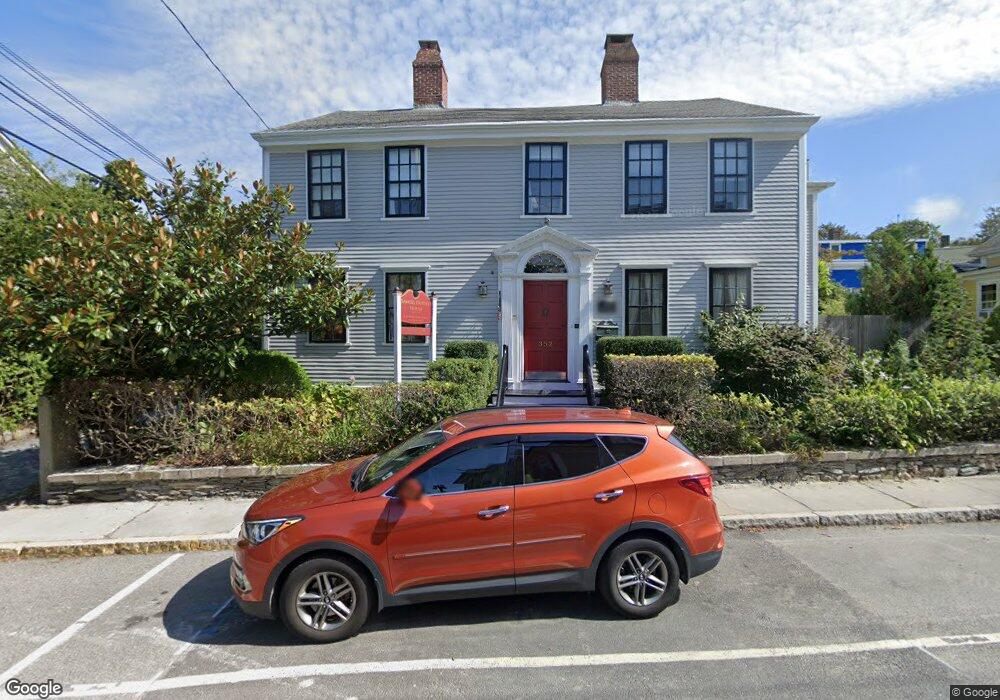
352 Spring St Newport, RI 02840
Historic Hill NeighborhoodEstimated Value: $1,504,730
5
Beds
3
Baths
3,118
Sq Ft
$483/Sq Ft
Est. Value
About This Home
This home is located at 352 Spring St, Newport, RI 02840 and is currently estimated at $1,504,730, approximately $482 per square foot. 352 Spring St is a home located in Newport County with nearby schools including Rogers High School, St Michael's Country Day School, and St George's School.
Ownership History
Date
Name
Owned For
Owner Type
Purchase Details
Closed on
Nov 20, 1998
Sold by
Dodson Lydia S
Bought by
Family Depinho
Current Estimated Value
Purchase Details
Closed on
Dec 7, 1995
Sold by
Frye Patricia D
Bought by
Dodson Lydias S
Home Financials for this Owner
Home Financials are based on the most recent Mortgage that was taken out on this home.
Original Mortgage
$100,000
Interest Rate
7.44%
Mortgage Type
Commercial
Create a Home Valuation Report for This Property
The Home Valuation Report is an in-depth analysis detailing your home's value as well as a comparison with similar homes in the area
Home Values in the Area
Average Home Value in this Area
Purchase History
| Date | Buyer | Sale Price | Title Company |
|---|---|---|---|
| Family Depinho | $279,000 | -- | |
| Family Depinho | $279,000 | -- | |
| Dodson Lydias S | $115,000 | -- | |
| Dodson Lydias S | $115,000 | -- |
Source: Public Records
Mortgage History
| Date | Status | Borrower | Loan Amount |
|---|---|---|---|
| Previous Owner | Dodson Lydias S | $100,000 |
Source: Public Records
Map
Nearby Homes
- 20 East St Unit 2A
- 30 S Baptist St
- 2 Perry St
- 5 Lee's Wharf
- 5 Lee's
- 24 Brown and Howard Wharf Unit 301
- 20 Fair St
- 28 John St Unit 30
- 26 Franklin St
- 75 Pelham St Unit B
- 26 Freebody St
- 6 Sharon Ct
- 20 Berkeley Ave Unit 2
- 401 Bellevue Ave Unit 112
- 28 Pelham St
- 629 Thames St
- 421 Bellevue Ave Unit 3B
- 28 Weaver Ave
- 19 Slocum St
- 21 Slocum St
- 9 Bowery Ct
- 346 Spring St
- 346 Spring St Unit 2
- 346 Spring St Unit 1
- 360 Spring St
- 353 Spring St
- 349 Spring St
- 8 Fountain St
- 342 Spring St
- 342 Spring St Unit 2
- 342 Spring St Unit 3
- 3 Bowery St
- 43 Howard St
- 359 Spring St
- 359 Spring St Unit 1
- 359 Spring St Unit 2
- 345 Spring St
- 10 Fountain St
- 42 Howard St
- 5 Bowery St
Your Personal Tour Guide
Ask me questions while you tour the home.