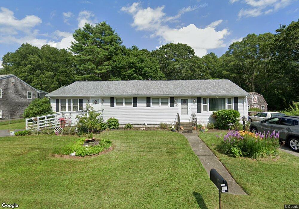
352 Tickle Rd Westport, MA 02790
North Westport NeighborhoodEstimated Value: $492,000 - $590,000
3
Beds
--
Bath
1,456
Sq Ft
$361/Sq Ft
Est. Value
About This Home
This home is located at 352 Tickle Rd, Westport, MA 02790 and is currently estimated at $525,102, approximately $360 per square foot. 352 Tickle Rd is a home located in Bristol County with nearby schools including Alice A. Macomber Primary School, Westport Elementary School, and Westport Middle-High School.
Ownership History
Date
Name
Owned For
Owner Type
Purchase Details
Closed on
Dec 14, 2023
Sold by
Quintas Carlos M and Quintas Rosa M
Bought by
C M & Rosa M Quintas Ret and Quintas
Current Estimated Value
Purchase Details
Closed on
Oct 20, 1992
Sold by
Machado Arthur and Machado Idalina
Bought by
Quintas Carlos M and Quintas Rosa M
Home Financials for this Owner
Home Financials are based on the most recent Mortgage that was taken out on this home.
Original Mortgage
$120,000
Interest Rate
7.93%
Mortgage Type
Purchase Money Mortgage
Create a Home Valuation Report for This Property
The Home Valuation Report is an in-depth analysis detailing your home's value as well as a comparison with similar homes in the area
Home Values in the Area
Average Home Value in this Area
Purchase History
| Date | Buyer | Sale Price | Title Company |
|---|---|---|---|
| C M & Rosa M Quintas Ret | -- | None Available | |
| Quintas Carlos M | $121,000 | -- |
Source: Public Records
Mortgage History
| Date | Status | Borrower | Loan Amount |
|---|---|---|---|
| Previous Owner | Quintas Carlos M | $120,000 |
Source: Public Records
Tax History Compared to Growth
Tax History
| Year | Tax Paid | Tax Assessment Tax Assessment Total Assessment is a certain percentage of the fair market value that is determined by local assessors to be the total taxable value of land and additions on the property. | Land | Improvement |
|---|---|---|---|---|
| 2025 | $3,271 | $439,000 | $175,900 | $263,100 |
| 2024 | $3,032 | $392,300 | $162,900 | $229,400 |
| 2023 | $2,953 | $361,900 | $142,800 | $219,100 |
| 2022 | $2,792 | $329,300 | $142,800 | $186,500 |
| 2021 | $2,417 | $280,400 | $129,800 | $150,600 |
| 2020 | $2,320 | $275,200 | $124,600 | $150,600 |
| 2019 | $2,120 | $256,400 | $108,400 | $148,000 |
| 2018 | $2,054 | $251,400 | $116,600 | $134,800 |
| 2017 | $1,983 | $248,800 | $116,600 | $132,200 |
| 2016 | $1,872 | $236,600 | $116,600 | $120,000 |
| 2015 | $1,775 | $223,800 | $116,600 | $107,200 |
Source: Public Records
Map
Nearby Homes
- 33 Moniz Dr
- 51 Newton St
- 40 Robert St
- 219 Tickle Rd
- 0 Tickle Rd Unit 73453134
- 218 American Legion Hwy
- 47 Devol Ave
- 100 Cory's Ln
- 100 Corys Ln
- 14 Glendale Ave
- 8 Campion Ave
- 47 Robert St
- 1125 Stafford Rd Unit 5
- 75 Montgomery St
- 0 Crandall Rd
- 771 Sanford Rd
- 6 Angel Ct
- 308 Robert St
- 374 Crandall Rd
- 447 Stafford Rd Unit E7