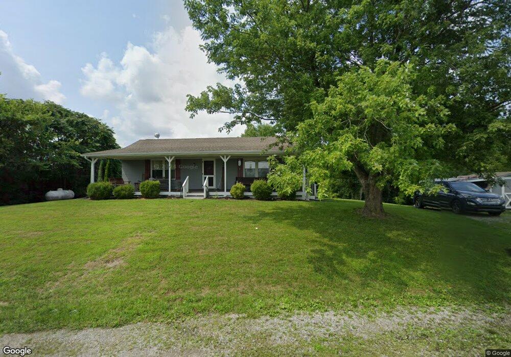
352 Votaw Rd Harrodsburg, KY 40330
Estimated Value: $110,000 - $233,000
3
Beds
1
Bath
1,253
Sq Ft
$130/Sq Ft
Est. Value
About This Home
This home is located at 352 Votaw Rd, Harrodsburg, KY 40330 and is currently estimated at $162,712, approximately $129 per square foot. 352 Votaw Rd is a home located in Mercer County with nearby schools including Mercer County Elementary School, Mercer County Intermediate School, and King Middle School.
Ownership History
Date
Name
Owned For
Owner Type
Purchase Details
Closed on
Oct 17, 2012
Sold by
Kentucky Housing Corporation
Bought by
Murphy Gilbert C and Murphy
Current Estimated Value
Home Financials for this Owner
Home Financials are based on the most recent Mortgage that was taken out on this home.
Original Mortgage
$29,600
Outstanding Balance
$12,963
Interest Rate
3.58%
Mortgage Type
Adjustable Rate Mortgage/ARM
Estimated Equity
$149,749
Purchase Details
Closed on
Apr 7, 2011
Sold by
Catlett, Master Commissioner Larry D.
Bought by
Kentucky Housing Corporation
Purchase Details
Closed on
May 31, 2005
Sold by
Ricky Dean Ricky Dean and Mills Cheryl
Bought by
Hume April Michelle
Home Financials for this Owner
Home Financials are based on the most recent Mortgage that was taken out on this home.
Original Mortgage
$89,887
Interest Rate
5.66%
Create a Home Valuation Report for This Property
The Home Valuation Report is an in-depth analysis detailing your home's value as well as a comparison with similar homes in the area
Home Values in the Area
Average Home Value in this Area
Purchase History
| Date | Buyer | Sale Price | Title Company |
|---|---|---|---|
| Murphy Gilbert C | $37,000 | -- | |
| Kentucky Housing Corporation | -- | -- | |
| Hume April Michelle | $84,500 | -- |
Source: Public Records
Mortgage History
| Date | Status | Borrower | Loan Amount |
|---|---|---|---|
| Open | Murphy Gilbert C | $29,600 | |
| Previous Owner | Hume April Michelle | $89,887 |
Source: Public Records
Tax History Compared to Growth
Tax History
| Year | Tax Paid | Tax Assessment Tax Assessment Total Assessment is a certain percentage of the fair market value that is determined by local assessors to be the total taxable value of land and additions on the property. | Land | Improvement |
|---|---|---|---|---|
| 2024 | $1,035 | $86,650 | $12,000 | $74,650 |
| 2023 | $1,045 | $86,650 | $0 | $0 |
| 2022 | $1,024 | $86,650 | $0 | $0 |
| 2021 | $1,030 | $86,650 | $0 | $0 |
| 2020 | $719 | $60,750 | $12,000 | $48,750 |
| 2019 | $730 | $60,750 | $12,000 | $48,750 |
| 2018 | $714 | $60,750 | $0 | $0 |
| 2017 | $690 | $60,750 | $0 | $0 |
| 2016 | $677 | $60,750 | $0 | $0 |
| 2015 | $658 | $60,750 | $12,000 | $48,750 |
| 2014 | $658 | $60,750 | $0 | $0 |
| 2010 | -- | $84,500 | $12,648 | $71,852 |
Source: Public Records
Map
Nearby Homes
- 9915 Cornishville Rd
- 9922 Cornishville Rd
- 10878 Cornishville Rd
- 5980 Bohon Rd
- 599 Brewers Mill Rd
- 860 Central Pike
- 651 Fairview #4 Rd
- 0 Bushtown Rd Unit 25505644
- 346 Parsons Ln
- 306 Parsons Ln
- 161 Central Pike
- 651 Fairview Rd
- 196 Hopewell Rd
- 380 Parsons Ln
- 1092 Bushtown Rd
- 5451 Battle Rd
- 5651 Battle Rd
- 3979 Baker Ridge Rd
- 4112 Cornishville Rd
- 5351 Battle Rd