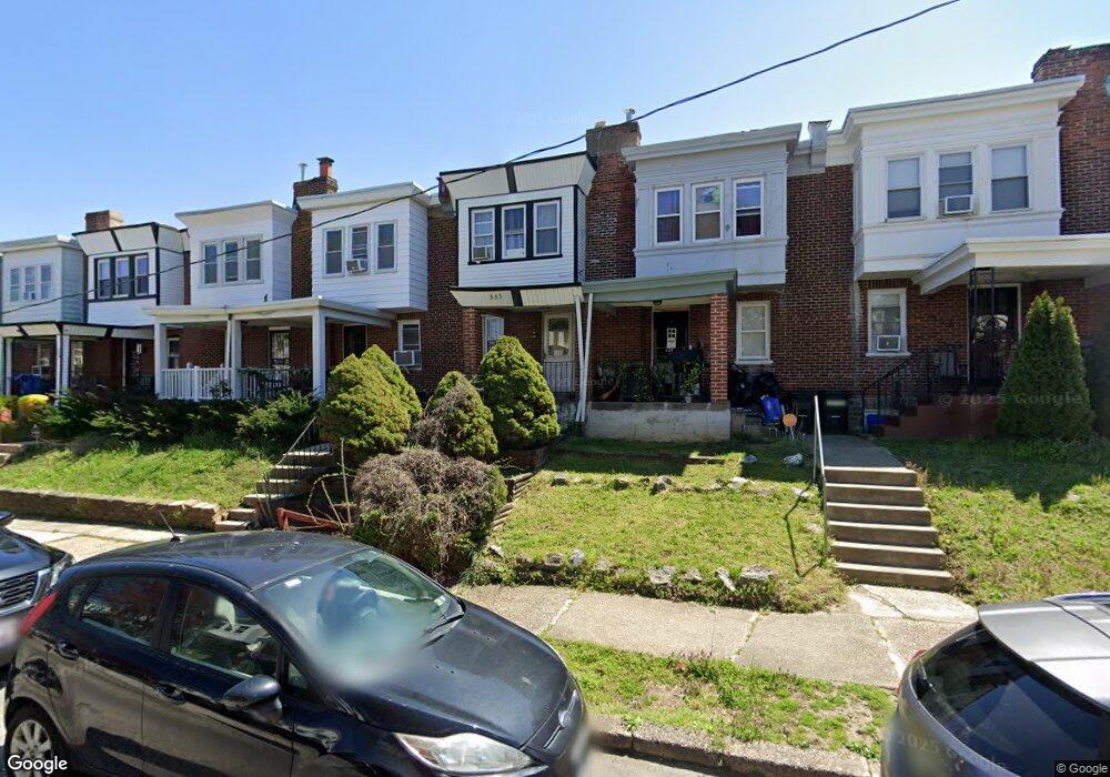
352 W Milne St Philadelphia, PA 19144
Germantown NeighborhoodEstimated Value: $147,000 - $204,000
3
Beds
1
Bath
960
Sq Ft
$181/Sq Ft
Est. Value
About This Home
This home is located at 352 W Milne St, Philadelphia, PA 19144 and is currently estimated at $174,090, approximately $181 per square foot. 352 W Milne St is a home located in Philadelphia County with nearby schools including John B. Kelly School, Roosevelt Theodore Middle School, and Martin Luther King High School.
Ownership History
Date
Name
Owned For
Owner Type
Purchase Details
Closed on
Apr 30, 2008
Sold by
Wells Fargo Bank Minnesota Na
Bought by
Demarco Drew
Current Estimated Value
Purchase Details
Closed on
Jul 23, 2007
Sold by
Anderson Leroy G and Americas Servicing Co
Bought by
Wells Fargo Bank Minnesota Na and Southern Pacific Secured Assets Corp Mor
Purchase Details
Closed on
Jun 18, 1998
Sold by
Harvey Mary Jane
Bought by
Anderson Leroy G
Purchase Details
Closed on
Oct 2, 1995
Sold by
Harvey Mary Jane and Trumbower Ralph
Bought by
Harvey Mary Jane
Create a Home Valuation Report for This Property
The Home Valuation Report is an in-depth analysis detailing your home's value as well as a comparison with similar homes in the area
Home Values in the Area
Average Home Value in this Area
Purchase History
| Date | Buyer | Sale Price | Title Company |
|---|---|---|---|
| Demarco Drew | $42,500 | Land Title Services | |
| Wells Fargo Bank Minnesota Na | $27,800 | None Available | |
| Anderson Leroy G | $42,000 | -- | |
| Harvey Mary Jane | -- | -- |
Source: Public Records
Tax History Compared to Growth
Tax History
| Year | Tax Paid | Tax Assessment Tax Assessment Total Assessment is a certain percentage of the fair market value that is determined by local assessors to be the total taxable value of land and additions on the property. | Land | Improvement |
|---|---|---|---|---|
| 2026 | $1,517 | $149,700 | $29,940 | $119,760 |
| 2025 | $1,517 | $149,700 | $29,940 | $119,760 |
| 2024 | $1,517 | $149,700 | $29,940 | $119,760 |
| 2023 | $1,517 | $108,400 | $21,680 | $86,720 |
| 2022 | $1,158 | $108,400 | $21,680 | $86,720 |
| 2021 | $1,158 | $0 | $0 | $0 |
| 2020 | $1,158 | $0 | $0 | $0 |
| 2019 | $1,209 | $0 | $0 | $0 |
| 2018 | $1,368 | $0 | $0 | $0 |
| 2017 | $1,368 | $0 | $0 | $0 |
| 2016 | $1,368 | $0 | $0 | $0 |
| 2015 | $1,227 | $0 | $0 | $0 |
| 2014 | -- | $91,600 | $9,052 | $82,548 |
| 2012 | -- | $9,792 | $1,594 | $8,198 |
Source: Public Records
Map
Nearby Homes
- 4520 Fernhill Rd
- 4534 Fernhill Rd
- 4544 Fernhill Rd
- 4545 Morris St
- 4529 Pulaski Ave
- 4545 Pulaski Ave
- 242 W Berkley St
- 4551 Pulaski Ave
- 4634 Fernhill Rd
- 4641 Fernhill Rd
- 4623 Pulaski Ave
- 214 W Abbottsford Ave
- 2013 Newcomb St
- 157 W Apsley St
- 4845 Pulaski Ave
- 4363 Wayne Ave
- 1938 Roberts Ave
- 2010 Rowan St
- 4429 Greene St
- 1938 W Bristol St