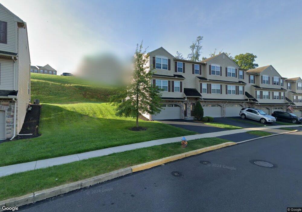
352 Weatherstone Dr New Cumberland, PA 17070
Estimated Value: $267,337 - $302,000
3
Beds
3
Baths
1,520
Sq Ft
$189/Sq Ft
Est. Value
About This Home
This home is located at 352 Weatherstone Dr, New Cumberland, PA 17070 and is currently estimated at $287,834, approximately $189 per square foot. 352 Weatherstone Dr is a home with nearby schools including Fairview Elementary School, New Cumberland Middle School, and Page County Middle School.
Ownership History
Date
Name
Owned For
Owner Type
Purchase Details
Closed on
Dec 15, 2016
Sold by
Qrb Holdings Llc
Bought by
Hite Kevin E
Current Estimated Value
Home Financials for this Owner
Home Financials are based on the most recent Mortgage that was taken out on this home.
Original Mortgage
$120,180
Outstanding Balance
$98,540
Interest Rate
4.03%
Mortgage Type
New Conventional
Estimated Equity
$189,294
Purchase Details
Closed on
Dec 3, 2015
Sold by
Weatherstone Associates Lp
Bought by
Qrb Holdings Llc
Home Financials for this Owner
Home Financials are based on the most recent Mortgage that was taken out on this home.
Original Mortgage
$1,500,000
Interest Rate
3.77%
Mortgage Type
Future Advance Clause Open End Mortgage
Create a Home Valuation Report for This Property
The Home Valuation Report is an in-depth analysis detailing your home's value as well as a comparison with similar homes in the area
Home Values in the Area
Average Home Value in this Area
Purchase History
| Date | Buyer | Sale Price | Title Company |
|---|---|---|---|
| Hite Kevin E | $160,240 | Title Services | |
| Qrb Holdings Llc | $709,753 | None Available |
Source: Public Records
Mortgage History
| Date | Status | Borrower | Loan Amount |
|---|---|---|---|
| Open | Hite Kevin E | $120,180 | |
| Previous Owner | Qrb Holdings Llc | $1,500,000 |
Source: Public Records
Tax History Compared to Growth
Tax History
| Year | Tax Paid | Tax Assessment Tax Assessment Total Assessment is a certain percentage of the fair market value that is determined by local assessors to be the total taxable value of land and additions on the property. | Land | Improvement |
|---|---|---|---|---|
| 2025 | $3,532 | $134,910 | $0 | $134,910 |
| 2024 | $3,345 | $134,910 | $0 | $134,910 |
| 2023 | $3,253 | $134,910 | $0 | $134,910 |
| 2022 | $3,243 | $134,910 | $0 | $134,910 |
| 2021 | $3,051 | $134,910 | $0 | $134,910 |
| 2020 | $3,014 | $134,910 | $0 | $134,910 |
| 2019 | $2,962 | $134,910 | $0 | $134,910 |
| 2018 | $2,904 | $134,910 | $0 | $134,910 |
| 2017 | $613 | $134,910 | $0 | $134,910 |
| 2016 | -- | $29,470 | $29,470 | $0 |
| 2015 | -- | $29,470 | $29,470 | $0 |
| 2014 | -- | $29,470 | $29,470 | $0 |
Source: Public Records
Map
Nearby Homes
- 307 Stoneridge Ct Unit 79
- 308 Weatherstone Dr Unit 71
- 131 Pleasantview Terrace
- 31 Springers Ln
- 24 Wayne Ave
- 201 Poplar Ave
- 100 Rosemont Ave
- 211 Walnut Level Rd
- 0 Old York Rd Unit 253 PAYK2089868
- 36 Crescent Dr
- 502 Skyline Rd
- 1402 Red Maple Ct
- 4 Pine Tree Dr
- 1601 Cobble Ct
- 321 Eutaw Ave
- 1810 Creek View Dr
- 419 3rd St
- 1510 Capitol View Dr
- 134 S Market St
- 601 Water St
- 282 Fieldstone Ct
- 284 Fieldstone Ct
- 303 Stoneridge Ct
- 312 Stoneridge Ct
- 314 Stoneridge Ct
- 316 Stoneridge Ct
- 318 Stoneridge Ct
- 351 Weatherstone Dr
- 345 Weatherstone Dr
- 367 Weatherstone Dr
- 372 Weatherstone Dr
- 347 Weatherstone Dr
- 371 Weatherstone Dr Unit 36
- 369 Weatherstone Dr Unit 35
- 363 Weatherstone Dr Unit 32
- 371 Weatherstone Dr
- 363 Weatherstone Dr
- 355 Weatherstone Dr Unit 28)
- 337 Weatherstone Dr
- 339 Weatherstone Dr