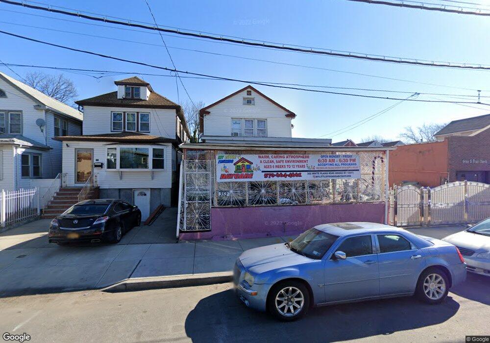
352 White Plains Rd Bronx, NY 10473
Clason Point NeighborhoodEstimated Value: $477,812 - $680,000
--
Bed
--
Bath
1,300
Sq Ft
$446/Sq Ft
Est. Value
About This Home
This home is located at 352 White Plains Rd, Bronx, NY 10473 and is currently estimated at $579,953, approximately $446 per square foot. 352 White Plains Rd is a home located in Bronx County with nearby schools including P.S. 182 and Holy Cross Elementary School.
Ownership History
Date
Name
Owned For
Owner Type
Purchase Details
Closed on
Aug 30, 1999
Sold by
Valle Miguel and Valle Vidalina
Bought by
Murillo Teofilo and Murillo Lucila
Current Estimated Value
Home Financials for this Owner
Home Financials are based on the most recent Mortgage that was taken out on this home.
Original Mortgage
$189,400
Outstanding Balance
$56,107
Interest Rate
7.81%
Mortgage Type
FHA
Estimated Equity
$523,846
Create a Home Valuation Report for This Property
The Home Valuation Report is an in-depth analysis detailing your home's value as well as a comparison with similar homes in the area
Home Values in the Area
Average Home Value in this Area
Purchase History
| Date | Buyer | Sale Price | Title Company |
|---|---|---|---|
| Murillo Teofilo | $195,000 | -- |
Source: Public Records
Mortgage History
| Date | Status | Borrower | Loan Amount |
|---|---|---|---|
| Open | Murillo Teofilo | $189,400 |
Source: Public Records
Tax History Compared to Growth
Tax History
| Year | Tax Paid | Tax Assessment Tax Assessment Total Assessment is a certain percentage of the fair market value that is determined by local assessors to be the total taxable value of land and additions on the property. | Land | Improvement |
|---|---|---|---|---|
| 2025 | $4,095 | $21,608 | $5,336 | $16,272 |
| 2024 | $4,095 | $20,386 | $4,563 | $15,823 |
| 2023 | $3,906 | $19,232 | $4,982 | $14,250 |
| 2022 | $3,622 | $29,760 | $7,320 | $22,440 |
| 2021 | $3,818 | $28,140 | $7,320 | $20,820 |
| 2020 | $3,812 | $29,820 | $7,320 | $22,500 |
| 2019 | $3,554 | $28,320 | $7,320 | $21,000 |
| 2018 | $3,267 | $16,027 | $4,345 | $11,682 |
| 2017 | $3,082 | $15,120 | $5,026 | $10,094 |
| 2016 | $3,023 | $15,120 | $5,441 | $9,679 |
| 2015 | $1,501 | $15,006 | $6,965 | $8,041 |
| 2014 | $1,501 | $14,157 | $7,131 | $7,026 |
Source: Public Records
Map
Nearby Homes
- 428 Bolton Ave
- 321 Newman Ave
- 353 Underhill Ave
- 444 Underhill Ave
- 1904 Lacombe Ave
- 1909 Lacombe Ave
- 252 Soundview Ave
- 500 Bolton Ave
- 1903 Lacombe Ave
- 250 Newman Ave
- 461 Underhill Ave
- 508 Bolton Ave
- 246 Soundview Ave
- 410 Thieriot Ave
- 256 Leland Ave
- 227 Stephens Ave
- 517 Underhill Ave
- 1201 Harding Park
- 1101 Harding Park
- 330 Taylor Ave
- 354 White Plains Rd
- 350 White Plains Rd
- 356 White Plains Rd
- 348 White Plains Rd
- 358 White Plains Rd
- 346 White Plains Rd
- 344 White Plains Rd
- 351 Newman Ave
- 1920 Patterson Ave
- 349 Newman Ave
- 353 Newman Ave
- 342 White Plains Rd
- 347 Newman Ave
- 345 Newman Ave
- 343 Newman Ave
- 355 Newman Ave
- 340 White Plains Rd
- 341 Newman Ave
- 361 White Plains Rd
- 339 Newman Ave