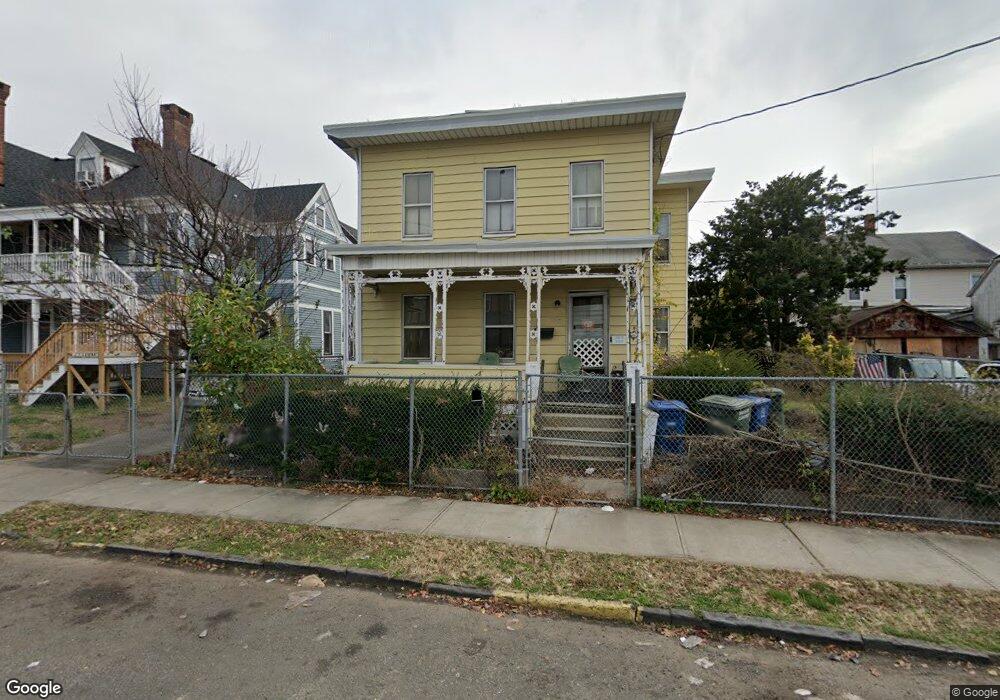
352 William St Bridgeport, CT 06608
East Side Bridgeport NeighborhoodEstimated Value: $314,934 - $484,000
4
Beds
2
Baths
2,076
Sq Ft
$189/Sq Ft
Est. Value
About This Home
This home is located at 352 William St, Bridgeport, CT 06608 and is currently estimated at $392,484, approximately $189 per square foot. 352 William St is a home located in Fairfield County with nearby schools including Barnum School, Harding High School, and Capital Prep Harbor Upper School.
Ownership History
Date
Name
Owned For
Owner Type
Purchase Details
Closed on
Jul 12, 2024
Sold by
Patronelli Alice and Benchmark Mun Tax Svcs Lt
Bought by
Rock Gdn Hm Care Agency L
Current Estimated Value
Home Financials for this Owner
Home Financials are based on the most recent Mortgage that was taken out on this home.
Original Mortgage
$215,000
Outstanding Balance
$212,025
Interest Rate
6.95%
Mortgage Type
Purchase Money Mortgage
Estimated Equity
$180,459
Create a Home Valuation Report for This Property
The Home Valuation Report is an in-depth analysis detailing your home's value as well as a comparison with similar homes in the area
Home Values in the Area
Average Home Value in this Area
Purchase History
| Date | Buyer | Sale Price | Title Company |
|---|---|---|---|
| Rock Gdn Hm Care Agency L | $265,500 | None Available | |
| Rock Gdn Hm Care Agency L | $265,500 | None Available | |
| Rock Gdn Hm Care Agency L | $265,500 | None Available |
Source: Public Records
Mortgage History
| Date | Status | Borrower | Loan Amount |
|---|---|---|---|
| Open | Rock Gdn Hm Care Agency L | $215,000 | |
| Closed | Rock Gdn Hm Care Agency L | $215,000 |
Source: Public Records
Tax History
| Year | Tax Paid | Tax Assessment Tax Assessment Total Assessment is a certain percentage of the fair market value that is determined by local assessors to be the total taxable value of land and additions on the property. | Land | Improvement |
|---|---|---|---|---|
| 2025 | $5,597 | $128,810 | $35,090 | $93,720 |
| 2024 | $5,597 | $128,810 | $35,090 | $93,720 |
| 2023 | $5,597 | $128,810 | $35,090 | $93,720 |
| 2022 | $5,597 | $128,810 | $35,090 | $93,720 |
| 2021 | $5,597 | $128,810 | $35,090 | $93,720 |
| 2020 | $4,960 | $91,860 | $14,960 | $76,900 |
| 2019 | $4,960 | $91,860 | $14,960 | $76,900 |
| 2018 | $4,994 | $91,860 | $14,960 | $76,900 |
| 2017 | $4,994 | $91,860 | $14,960 | $76,900 |
| 2016 | $4,994 | $91,860 | $14,960 | $76,900 |
| 2015 | $5,762 | $136,530 | $26,150 | $110,380 |
| 2014 | $5,762 | $136,530 | $26,150 | $110,380 |
Source: Public Records
Map
Nearby Homes
- 40-42 Jane St
- 39 Jane St
- 349 Noble Ave Unit 355
- 274 Park St
- 99 William St Unit B
- 584 Kossuth St
- 34-40 Hayes St
- 369 Park St
- 236 Brooks St
- 751 E Main St
- 690 William St
- 502 Berkshire Ave
- 691 E Main St
- 750 William St
- 500 Park St
- 1365 E Main St
- 108 Lindley St Unit 114
- 1220 Pembroke St
- 1248 Pembroke St
- 1218 Kossuth St
- 353 Harriet St Unit 355
- 353 Harriet St Unit 1
- 178 Arctic St
- 194 Arctic St
- 363 William St
- 341 Harriet St Unit 343
- 338 William St
- 337 William St Unit 343
- 355 William St
- 325 Harriet St
- 167 Maple St Unit 173
- 173 Maple St
- 189 Arctic St
- 179 Maple St
- 388 William St
- 388 William St Unit A
- 388 William St Unit B
- 163 Maple St
- 195 Arctic St
- 138 Arctic St
Your Personal Tour Guide
Ask me questions while you tour the home.