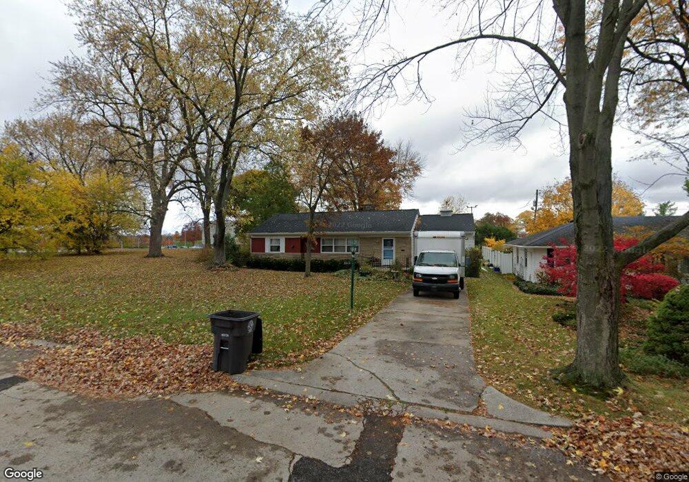
3520 Glenhurst Ave Fort Wayne, IN 46805
Kirkwood NeighborhoodEstimated Value: $196,639 - $210,000
3
Beds
2
Baths
1,426
Sq Ft
$142/Sq Ft
Est. Value
About This Home
This home is located at 3520 Glenhurst Ave, Fort Wayne, IN 46805 and is currently estimated at $202,910, approximately $142 per square foot. 3520 Glenhurst Ave is a home located in Allen County with nearby schools including Brentwood Elementary School, Lakeside Middle School, and North Side High School.
Ownership History
Date
Name
Owned For
Owner Type
Purchase Details
Closed on
Nov 23, 2005
Sold by
Osborn Mary B
Bought by
Htay Kyi and Than Nyunt
Current Estimated Value
Home Financials for this Owner
Home Financials are based on the most recent Mortgage that was taken out on this home.
Original Mortgage
$80,410
Outstanding Balance
$44,407
Interest Rate
6.17%
Mortgage Type
FHA
Estimated Equity
$158,503
Purchase Details
Closed on
Jul 9, 2004
Sold by
Sprague Norman
Bought by
Osborn Mary B
Home Financials for this Owner
Home Financials are based on the most recent Mortgage that was taken out on this home.
Original Mortgage
$76,696
Interest Rate
6.37%
Mortgage Type
FHA
Create a Home Valuation Report for This Property
The Home Valuation Report is an in-depth analysis detailing your home's value as well as a comparison with similar homes in the area
Home Values in the Area
Average Home Value in this Area
Purchase History
| Date | Buyer | Sale Price | Title Company |
|---|---|---|---|
| Htay Kyi | -- | Lawyers Title Ins | |
| Osborn Mary B | -- | Three Rivers Title Co Inc |
Source: Public Records
Mortgage History
| Date | Status | Borrower | Loan Amount |
|---|---|---|---|
| Open | Htay Kyi | $80,410 | |
| Previous Owner | Osborn Mary B | $76,696 |
Source: Public Records
Tax History Compared to Growth
Tax History
| Year | Tax Paid | Tax Assessment Tax Assessment Total Assessment is a certain percentage of the fair market value that is determined by local assessors to be the total taxable value of land and additions on the property. | Land | Improvement |
|---|---|---|---|---|
| 2024 | $1,439 | $158,100 | $18,700 | $139,400 |
| 2022 | $1,428 | $135,900 | $18,700 | $117,200 |
| 2021 | $1,299 | $123,400 | $18,700 | $104,700 |
| 2020 | $1,022 | $106,700 | $18,700 | $88,000 |
| 2019 | $958 | $101,200 | $18,700 | $82,500 |
| 2018 | $929 | $98,700 | $18,700 | $80,000 |
| 2017 | $622 | $81,300 | $18,700 | $62,600 |
| 2016 | $650 | $82,500 | $18,700 | $63,800 |
| 2014 | $474 | $72,400 | $18,700 | $53,700 |
| 2013 | $462 | $71,900 | $18,700 | $53,200 |
Source: Public Records
Map
Nearby Homes
- 3440 Rolston St
- 2817 Whitegate Dr
- 2520 Glenwood Ave
- 3020 White Oak Ave
- 2029 Glenwood Ave
- 3024 Nordholme Ave
- 2517 Charlotte Ave
- 2021 Kenwood Ave
- 2927 Barnhart Ave
- 1903 Glenwood Ave
- 2717 Clara Ave
- 2402 Charlotte Ave
- 1909 Kenwood Ave
- 2808 Nordholme Ave
- 2521 Dodge Ave
- 3502 Courtwood Dr
- 2435 Dodge Ave
- 3411 Charlotte Ave
- 3608 Kirkfield Dr
- 2510 Dodge Ave
- 3512 Glenhurst Ave
- 3506 Glenhurst Ave
- 3517 Glenhurst Ave
- 3440 Glenhurst Ave
- 3523 Glenhurst Ave
- 3511 Glenhurst Ave
- 3533 Glenhurst Ave
- 3507 Glenhurst Ave
- 3434 Glenhurst Ave
- 3539 Glenhurst Ave
- 3439 Glenhurst Ave
- 3520 Rolston St
- 3430 Glenhurst Ave
- 3510 Rolston St
- 3433 Glenhurst Ave
- 3528 Rolston St
- 3504 Rolston St
- 3532 Rolston St
- 3540 Rolston St
- 3425 Glenhurst Ave