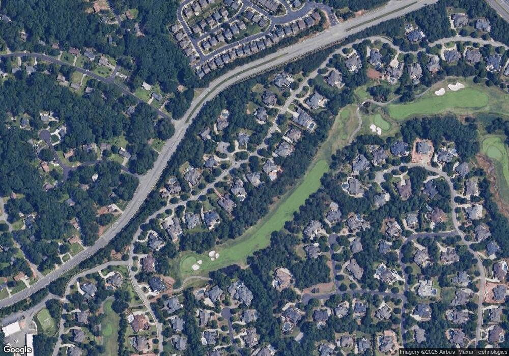
3520 Moye Trail Duluth, GA 30097
Estimated Value: $2,103,523 - $2,284,000
6
Beds
9
Baths
9,124
Sq Ft
$243/Sq Ft
Est. Value
About This Home
This home is located at 3520 Moye Trail, Duluth, GA 30097 and is currently estimated at $2,219,508, approximately $243 per square foot. 3520 Moye Trail is a home located in Gwinnett County with nearby schools including M. H. Mason Elementary School, Hull Middle School, and Peachtree Ridge High School.
Ownership History
Date
Name
Owned For
Owner Type
Purchase Details
Closed on
Jul 9, 2021
Sold by
Chung Hyesung
Bought by
Pilgrims Church Inc
Current Estimated Value
Purchase Details
Closed on
Oct 28, 2020
Sold by
Chung Hak Sung
Bought by
Cho Min Jae and Cho Yong Kyun
Purchase Details
Closed on
Aug 10, 2009
Sold by
Chung Hak S
Bought by
Chung Hak S and Chung Hye S
Home Financials for this Owner
Home Financials are based on the most recent Mortgage that was taken out on this home.
Original Mortgage
$900,000
Interest Rate
5.13%
Mortgage Type
New Conventional
Purchase Details
Closed on
Jun 14, 2002
Sold by
Kennedy Dev Co Inc
Bought by
Knauss James F and Knauss Marci
Home Financials for this Owner
Home Financials are based on the most recent Mortgage that was taken out on this home.
Original Mortgage
$1,218,650
Interest Rate
4.25%
Mortgage Type
New Conventional
Create a Home Valuation Report for This Property
The Home Valuation Report is an in-depth analysis detailing your home's value as well as a comparison with similar homes in the area
Home Values in the Area
Average Home Value in this Area
Purchase History
| Date | Buyer | Sale Price | Title Company |
|---|---|---|---|
| Pilgrims Church Inc | -- | -- | |
| Chung Hyesung | -- | -- | |
| Cho Min Jae | -- | -- | |
| Chung Hak S | $1,200,000 | -- | |
| Chung Hak S | $1,200,000 | -- | |
| Knauss James F | $1,624,900 | -- |
Source: Public Records
Mortgage History
| Date | Status | Borrower | Loan Amount |
|---|---|---|---|
| Previous Owner | Chung Hak S | $900,000 | |
| Previous Owner | Knauss James F | $1,218,650 |
Source: Public Records
Tax History Compared to Growth
Tax History
| Year | Tax Paid | Tax Assessment Tax Assessment Total Assessment is a certain percentage of the fair market value that is determined by local assessors to be the total taxable value of land and additions on the property. | Land | Improvement |
|---|---|---|---|---|
| 2025 | $25,969 | $730,000 | $144,000 | $586,000 |
| 2024 | $26,248 | $730,000 | $144,000 | $586,000 |
| 2023 | $26,248 | $808,960 | $144,000 | $664,960 |
| 2022 | $26,097 | $725,120 | $140,000 | $585,120 |
| 2021 | $16,423 | $443,240 | $120,000 | $323,240 |
| 2020 | $16,308 | $443,240 | $120,000 | $323,240 |
| 2019 | $0 | $443,240 | $120,000 | $323,240 |
| 2018 | $15,758 | $443,240 | $120,000 | $323,240 |
| 2016 | $15,764 | $443,240 | $120,000 | $323,240 |
| 2015 | $15,962 | $443,240 | $120,000 | $323,240 |
| 2014 | -- | $443,240 | $120,000 | $323,240 |
Source: Public Records
Map
Nearby Homes
- 2281 Bransley Place
- 2569 Wynnton Dr
- 3546 Flycatcher Way
- 2244 Post Oak Dr
- 2572 Carnot Ct
- 3475 Leaf Land Ct
- 3742 Terrah Point Dr
- 3742 Terrah Point Dr Unit 43
- 2016 Parsons Ridge Cir
- 2011 Old Peachtree Rd NW
- 1997 Parsons Ridge Cir
- 2107 Hailston Dr
- 3448 Parsons Ridge Ln
- 3429 Parsons Ridge Ln
- 3311 Dogwood Ln Unit I
- 1806 Royal Troon Ct
- 2008 Hailston Dr
- 2005 Hailston Dr
- 3184 Islesworth Trace
- 3614 Clearbrooke Way
- 3530 Moye Trail
- 3510 Moye Trail
- 3540 Moye Trail
- 3500 Moye Trail
- 3515 Moye Trail
- 3303 Moye Ct
- 3306 Moye Ct
- 3550 Moye Trail
- 3490 Moye Trail
- 3555 Moye Trail
- 3316 Moye Ct
- 3495 Moye Trail
- 3274 Lockett Trace
- 3313 Moye Ct
- 3560 Moye Trail
- 3480 Moye Trail
- 3284 Lockett Trace Unit 1
- 3565 Moye Trail
- 3485 Moye Trail
- 3570 Moye Trail
