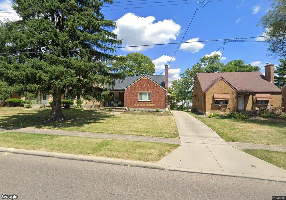
3520 Robb Ave Cincinnati, OH 45211
Cheviot AreaEstimated Value: $171,977 - $190,000
About This Home
This home is located at 3520 Robb Ave, Cincinnati, OH 45211 and is currently estimated at $179,244, approximately $165 per square foot. 3520 Robb Ave is a home located in Hamilton County with nearby schools including Cheviot Elementary School, Western Hills High School, and Gilbert A. Dater High School.
Ownership History
We collect this data history from publicly available records. To have your information removed, we recommend requesting removal directly through your county’s website.
Purchase Details
Home Financials for this Owner
Home Financials are based on the most recent Mortgage that was taken out on this home.Purchase Details
Home Values in the Area
Average Home Value in this Area
Purchase History
We collect this data history from publicly available records. To have your information removed, we recommend requesting removal directly through your county’s website.
| Date | Buyer | Sale Price | Title Company |
|---|---|---|---|
| -- | Arrow Title Agency Llc | ||
| $91,000 | -- |
Mortgage History
We collect this data history from publicly available records. To have your information removed, we recommend requesting removal directly through your county’s website.
| Date | Status | Borrower | Loan Amount |
|---|---|---|---|
| Open | $97,200 | ||
| Closed | $103,500 | ||
| Closed | $90,500 |
Tax History
We collect this data history from publicly available records. To have your information removed, we recommend requesting removal directly through your county’s website.
| Year | Tax Paid | Tax Assessment Tax Assessment Total Assessment is a certain percentage of the fair market value that is determined by local assessors to be the total taxable value of land and additions on the property. | Land | Improvement |
|---|---|---|---|---|
| 2025 | $2,652 | $42,571 | $7,889 | $34,682 |
| 2023 | $2,631 | $42,571 | $7,889 | $34,682 |
| 2022 | $2,255 | $31,578 | $7,459 | $24,119 |
| 2021 | $2,198 | $31,578 | $7,459 | $24,119 |
| 2020 | $2,231 | $31,578 | $7,459 | $24,119 |
| 2019 | $2,195 | $27,944 | $6,601 | $21,343 |
| 2018 | $2,198 | $27,944 | $6,601 | $21,343 |
| 2017 | $2,101 | $27,944 | $6,601 | $21,343 |
| 2016 | $2,191 | $28,606 | $6,885 | $21,721 |
| 2015 | $1,990 | $28,606 | $6,885 | $21,721 |
| 2014 | $1,945 | $28,606 | $6,885 | $21,721 |
| 2013 | $2,078 | $30,111 | $7,245 | $22,866 |
Map
- 4235 Marlin Ave
- 3452 Robb Ave
- 3705 Frances Ave
- 3604 June St
- 4309 St Martins Place
- 4302 Harding Ave
- 3751 Wilmar Dr
- 4349 Harding Ave
- 3578 Fieldcrest Dr
- 4013 Walter Ave
- 4430 Grove Ave
- 3317 Buell St
- 4163 Harrison Ave
- 4163 Harrison Ave
- 3662 Herbert Ave
- 3763 Frondorf Ave
- 3719 Forest Ct
- 5458 Childs Ave
- 5452 Green Acres Ct
- 3718 Forest Ct
- 3604 Robb Ave
- 3600 Robb Ave
- 3524 Robb Ave
- 3481 Alta Vista Ave
- 3483 Alta Vista Ave
- 3479 Alta Vista Ave
- 4139 Saint Martins Place
- 4143 Saint Martins Place
- 4135 Saint Martins Place
- 4143 St Martins Place
- 3471 Alta Vista Ave
- 4131 Saint Martins Place
- 3591 Robb Ave
- 3593 Robb Ave
- 3595 Robb Ave
- 3503 Robb Ave
- 3469 Alta Vista Ave
- 4127 Saint Martins Place
- 3516 Robb Ave
- 3597 Robb Ave
Ask me questions while you tour the home.