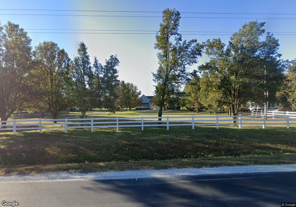
35205 E Truman Rd Grain Valley, MO 64029
Estimated Value: $396,000 - $492,000
3
Beds
3
Baths
1,669
Sq Ft
$264/Sq Ft
Est. Value
About This Home
This home is located at 35205 E Truman Rd, Grain Valley, MO 64029 and is currently estimated at $440,168, approximately $263 per square foot. 35205 E Truman Rd is a home located in Jackson County with nearby schools including Grain Valley High School.
Ownership History
Date
Name
Owned For
Owner Type
Purchase Details
Closed on
Oct 22, 2001
Sold by
Burghart Michael E and Burghart Elizabeth J
Bought by
Underwood Jack and Underwood Brenda J
Current Estimated Value
Home Financials for this Owner
Home Financials are based on the most recent Mortgage that was taken out on this home.
Original Mortgage
$140,000
Outstanding Balance
$54,601
Interest Rate
6.84%
Mortgage Type
Purchase Money Mortgage
Estimated Equity
$385,567
Purchase Details
Closed on
Jun 14, 1996
Sold by
Hays Frederick L and Hays Susan E
Bought by
Burghart Michael E and Burghart Elizabeth J
Home Financials for this Owner
Home Financials are based on the most recent Mortgage that was taken out on this home.
Original Mortgage
$106,400
Interest Rate
7.99%
Mortgage Type
Construction
Create a Home Valuation Report for This Property
The Home Valuation Report is an in-depth analysis detailing your home's value as well as a comparison with similar homes in the area
Purchase History
| Date | Buyer | Sale Price | Title Company |
|---|---|---|---|
| Underwood Jack | -- | Realty Title Company | |
| Burghart Michael E | -- | Realty Title Company |
Source: Public Records
Mortgage History
| Date | Status | Borrower | Loan Amount |
|---|---|---|---|
| Open | Underwood Jack | $140,000 | |
| Previous Owner | Burghart Michael E | $106,400 | |
| Closed | Underwood Jack | $26,250 |
Source: Public Records
Tax History
| Year | Tax Paid | Tax Assessment Tax Assessment Total Assessment is a certain percentage of the fair market value that is determined by local assessors to be the total taxable value of land and additions on the property. | Land | Improvement |
|---|---|---|---|---|
| 2025 | $3,885 | $52,266 | $12,645 | $39,621 |
| 2024 | $3,752 | $55,750 | $16,315 | $39,435 |
| 2023 | $3,752 | $55,750 | $14,334 | $41,416 |
| 2022 | $2,938 | $39,520 | $6,954 | $32,566 |
| 2021 | $2,867 | $39,520 | $6,954 | $32,566 |
| 2020 | $2,891 | $37,710 | $6,954 | $30,756 |
| 2019 | $2,733 | $37,710 | $6,954 | $30,756 |
| 2018 | $2,419 | $32,563 | $12,064 | $20,499 |
| 2016 | $2,355 | $31,747 | $9,085 | $22,662 |
Source: Public Records
Map
Nearby Homes
- 35710 E Truman Rd
- 35808 E Pink Hill Rd Unit 64075
- 35407 E Little Rd
- 3826 S Sweeney Rd
- 1515 S Buckner Tarsney (Bb) Rd
- 1509 S Buckner Tarsney Rd
- 1521 S Buckner Tarsney Rd
- 1515 S Buckner Tarsney Rd
- 1505 S Buckner Tarsney Rd
- 414 S Borgman Rd
- 38202 E Old Pink Hill Rd
- 3623 S Rust Rd
- 904 NW Lindenwood Dr
- 33602 E Pink Hill Rd
- 913 NW Hickorywood Dr
- 2304 NW Rymeg Dr
- TBD E Duncan Rd
- 900 NW Hawthorne Ct
- 1809 NW Madi Ct
- 950 NW Maplewood Ct
- 35211 E Truman Rd
- 35111 E Truman Rd
- 35305 E Truman Rd
- 35202 E Truman Rd
- 35311 E Truman Rd
- 35012 E Truman Rd
- 35310 E Truman Rd
- 35300 E Truman Rd
- 35413 E Truman Rd
- 34905 E Truman Rd
- 35406 E Truman Rd
- 2612 S Holloway Rd
- 34900 E Truman Rd
- 2801 S Fields Rd
- 35605 E Truman Rd
- 2520 S Holloway Rd
- 2615 S Holloway Rd
- 2723 S Kirby Rd
- 2715 S Fields Rd
- 2805 S Kirby Rd
Your Personal Tour Guide
Ask me questions while you tour the home.