3521 Benoit Rd Fairgrove, MI 48733
Estimated Value: $30,681 - $100,000
Studio
--
Bath
684
Sq Ft
$97/Sq Ft
Est. Value
About This Home
This home is located at 3521 Benoit Rd, Fairgrove, MI 48733 and is currently estimated at $66,170, approximately $96 per square foot. 3521 Benoit Rd is a home with nearby schools including Akron-Fairgrove Elementary School and Akron-Fairgrove Junior/Senior High School.
Ownership History
Date
Name
Owned For
Owner Type
Purchase Details
Closed on
Jan 8, 2025
Sold by
Fader Ricky R
Bought by
Carter Mark and Carter Trina
Current Estimated Value
Purchase Details
Closed on
Sep 30, 2021
Sold by
Kuhne Henry C
Bought by
Humpert Joseph Anthony
Purchase Details
Closed on
Aug 23, 2021
Sold by
Humpert Joseph Anthony
Bought by
Fader Ricky R
Purchase Details
Closed on
Sep 30, 2013
Sold by
Kuhne Henry C and Kuhne Rental L
Bought by
Kuhne Henry C
Purchase Details
Closed on
Nov 26, 2008
Sold by
Eastham Linda
Bought by
Kuhne Henry C and Kuhne Renita L
Purchase Details
Closed on
Feb 7, 2007
Sold by
Oszust James and Oszust Delores Dodd
Bought by
Kuhne Henry C and Kuhne Renita L
Purchase Details
Closed on
Jan 24, 2007
Sold by
Kuhne Henry C and Kuhne Renita K
Bought by
Oszust James
Create a Home Valuation Report for This Property
The Home Valuation Report is an in-depth analysis detailing your home's value as well as a comparison with similar homes in the area
Purchase History
| Date | Buyer | Sale Price | Title Company |
|---|---|---|---|
| Carter Mark | $24,000 | None Listed On Document | |
| Humpert Joseph Anthony | $12,000 | None Available | |
| Fader Ricky R | $12,500 | None Available | |
| Kuhne Henry C | -- | None Available | |
| Kuhne Henry C | -- | None Available | |
| Kuhne Henry C | $10,000 | None Available | |
| Oszust James | -- | None Available |
Source: Public Records
Tax History
| Year | Tax Paid | Tax Assessment Tax Assessment Total Assessment is a certain percentage of the fair market value that is determined by local assessors to be the total taxable value of land and additions on the property. | Land | Improvement |
|---|---|---|---|---|
| 2025 | $498 | $22,900 | $0 | $0 |
| 2024 | $498 | $20,700 | $0 | $0 |
| 2023 | $699 | $19,700 | $0 | $0 |
| 2022 | $667 | $16,900 | $0 | $0 |
| 2021 | $305 | $6,300 | $0 | $0 |
| 2020 | $393 | $5,200 | $0 | $0 |
| 2019 | $389 | $4,800 | $0 | $0 |
| 2018 | $366 | $5,200 | $0 | $0 |
| 2017 | $363 | $5,000 | $0 | $0 |
| 2016 | $364 | $4,800 | $0 | $0 |
| 2015 | $8 | $5,000 | $0 | $0 |
| 2014 | $8 | $4,600 | $0 | $0 |
| 2013 | $8 | $4,400 | $0 | $0 |
Source: Public Records
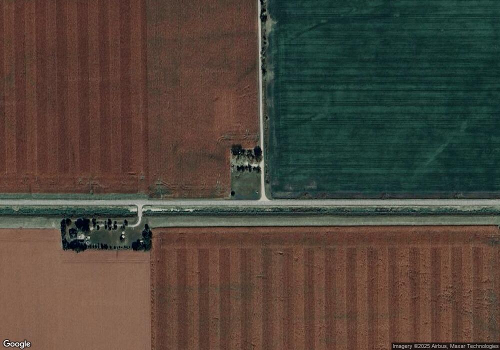
Map
Nearby Homes
- 0 N Cotter Rd Unit 27116764
- E E Center Rd
- 5266 Dutcher Rd
- 7844 W Gilford Rd
- 2095 Liberty St
- 1920 Circle Dr
- 695 Knodt Rd
- 5060 Armstrong Ave
- 4970 Center St
- 1083 S Van Buren Rd
- 197 N Cotter Rd
- 2055 S Farley Rd
- 0 E Nebobish Rd
- 4557 Ringle Rd
- 4354 Dutcher Rd
- 4300 Beach St
- 3739 N Main St
- 7991 W Dixon Rd
- 513 W Ridge Rd
- 568 W Center Rd
Your Personal Tour Guide
Ask me questions while you tour the home.