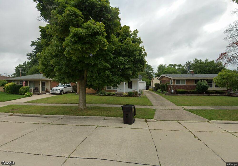
3521 Bridge St Unit Bldg-Unit Trenton, MI 48183
Estimated Value: $240,000 - $268,000
3
Beds
2
Baths
1,042
Sq Ft
$238/Sq Ft
Est. Value
About This Home
This home is located at 3521 Bridge St Unit Bldg-Unit, Trenton, MI 48183 and is currently estimated at $247,914, approximately $237 per square foot. 3521 Bridge St Unit Bldg-Unit is a home located in Wayne County with nearby schools including Richard C. Hedke Elementary School, Boyd W. Arthurs Middle School, and Trenton High School.
Ownership History
Date
Name
Owned For
Owner Type
Purchase Details
Closed on
Aug 3, 2024
Sold by
Mcginnis Charles C
Bought by
Mcginnis Charles C and Fallwell Shelly M
Current Estimated Value
Purchase Details
Closed on
Sep 7, 2018
Sold by
Gillispie Sandra
Bought by
Mcginnis Charles C
Purchase Details
Closed on
Mar 19, 2012
Sold by
Twichell David E and The Jane Braboy Revocable Livi
Bought by
Gillispie Sandra
Purchase Details
Closed on
Jul 27, 2011
Sold by
Nicholas Homes Of Cambridge Inc
Bought by
Cameron Daniel G and Cameron Karen L
Create a Home Valuation Report for This Property
The Home Valuation Report is an in-depth analysis detailing your home's value as well as a comparison with similar homes in the area
Home Values in the Area
Average Home Value in this Area
Purchase History
| Date | Buyer | Sale Price | Title Company |
|---|---|---|---|
| Mcginnis Charles C | -- | None Listed On Document | |
| Mcginnis Charles C | $145,000 | First American Title | |
| Gillispie Sandra | $87,000 | Title One Inc | |
| Cameron Daniel G | $10,000 | Greco |
Source: Public Records
Tax History Compared to Growth
Tax History
| Year | Tax Paid | Tax Assessment Tax Assessment Total Assessment is a certain percentage of the fair market value that is determined by local assessors to be the total taxable value of land and additions on the property. | Land | Improvement |
|---|---|---|---|---|
| 2025 | $3,186 | $102,600 | $0 | $0 |
| 2024 | $3,186 | $94,300 | $0 | $0 |
| 2023 | $2,988 | $84,300 | $0 | $0 |
| 2022 | $4,062 | $76,200 | $0 | $0 |
| 2021 | $3,926 | $71,500 | $0 | $0 |
| 2020 | $3,969 | $69,100 | $0 | $0 |
| 2019 | $3,909 | $65,300 | $0 | $0 |
| 2018 | $2,092 | $61,700 | $0 | $0 |
| 2017 | $1,811 | $60,300 | $0 | $0 |
| 2016 | $2,825 | $58,900 | $0 | $0 |
| 2015 | $4,996 | $54,300 | $0 | $0 |
| 2013 | $4,840 | $49,300 | $0 | $0 |
| 2012 | $2,556 | $47,400 | $10,500 | $36,900 |
Source: Public Records
Map
Nearby Homes
- 3365 Syckelmoore St
- 2800 Marian Dr
- 3458 Norwood Dr
- 3367 Norwood Dr
- 3355 Edsel St
- 3307 Norwood Dr
- 3900 Norwood Dr
- 3353 Birchwood St
- 2999 Norwood Dr
- 3161 Blaine St
- 3285 Patton St
- 3955 Trumbull St
- 3125 Patton St
- 2956 Parkwood St
- 3256 Terry St
- 3321 John R St
- 3261 Hickory Ct
- 3281 Brookshire St
- 3085 Grange Rd
- 2657 Chelsea St
- 3521 Bridge St
- 3531 Bridge St
- 3511 Bridge St
- 3605 Bridge St
- 3505 Bridge St
- 3510 Syckelmoore St
- 3500 Syckelmoore St
- 3520 Syckelmoore St
- 3490 Syckelmoore St
- 3485 Bridge St
- 3641 Bridge St
- 3514 Bridge St
- 3530 Syckelmoore St
- 3610 Bridge St
- 3480 Syckelmoore St
- 3471 Bridge St
- 3661 Bridge St
- 3500 Bridge St
- 3530 Bridge St
- 3550 Syckelmoore St