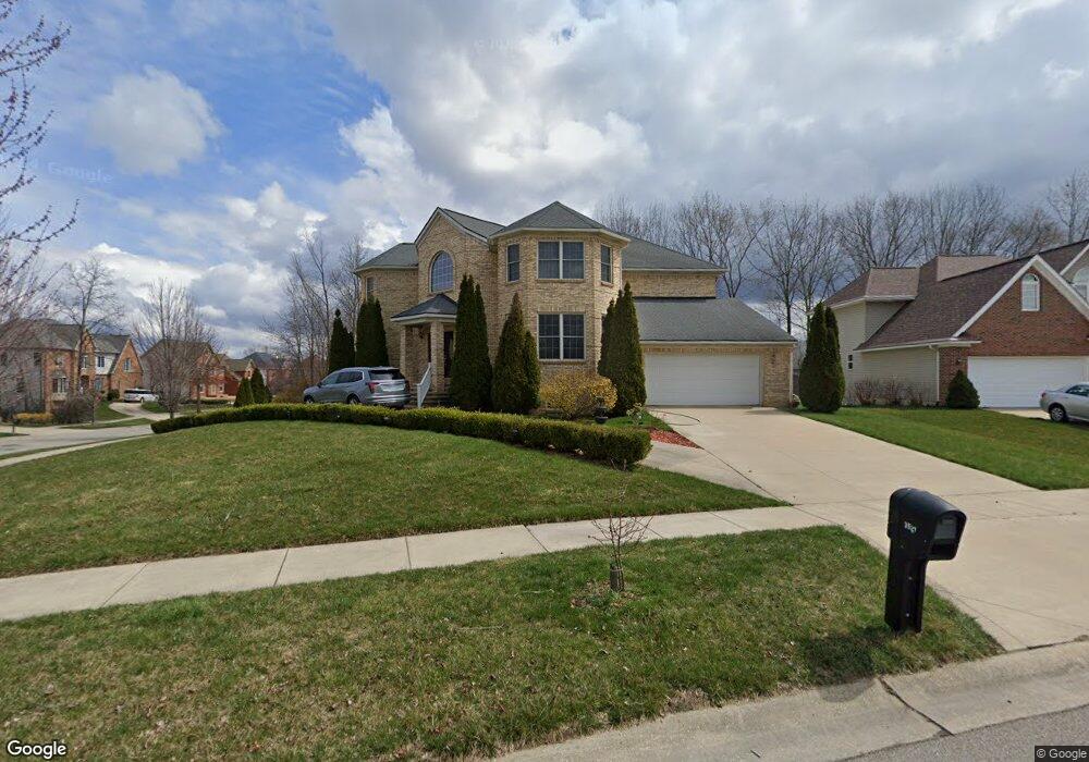
3521 Burnham Rd Unit 8 Ann Arbor, MI 48108
Estimated Value: $900,439 - $991,000
4
Beds
3
Baths
3,894
Sq Ft
$238/Sq Ft
Est. Value
About This Home
This home is located at 3521 Burnham Rd Unit 8, Ann Arbor, MI 48108 and is currently estimated at $926,860, approximately $238 per square foot. 3521 Burnham Rd Unit 8 is a home located in Washtenaw County with nearby schools including Bryant Elementary School, Pattengill Elementary School, and Tappan Middle School.
Ownership History
Date
Name
Owned For
Owner Type
Purchase Details
Closed on
May 13, 2004
Sold by
Blackhawk Development Corp
Bought by
Mojgan Entezami Omid and Mojgan Mehrafszan
Current Estimated Value
Home Financials for this Owner
Home Financials are based on the most recent Mortgage that was taken out on this home.
Original Mortgage
$96,000
Interest Rate
5.85%
Mortgage Type
Unknown
Create a Home Valuation Report for This Property
The Home Valuation Report is an in-depth analysis detailing your home's value as well as a comparison with similar homes in the area
Home Values in the Area
Average Home Value in this Area
Purchase History
| Date | Buyer | Sale Price | Title Company |
|---|---|---|---|
| Mojgan Entezami Omid | $97,500 | -- |
Source: Public Records
Mortgage History
| Date | Status | Borrower | Loan Amount |
|---|---|---|---|
| Closed | Mojgan Entezami Omid | $96,000 |
Source: Public Records
Tax History Compared to Growth
Tax History
| Year | Tax Paid | Tax Assessment Tax Assessment Total Assessment is a certain percentage of the fair market value that is determined by local assessors to be the total taxable value of land and additions on the property. | Land | Improvement |
|---|---|---|---|---|
| 2025 | $10,628 | $462,881 | $0 | $0 |
| 2024 | $7,108 | $424,820 | $0 | $0 |
| 2023 | $6,830 | $383,400 | $0 | $0 |
| 2022 | $10,255 | $372,800 | $0 | $0 |
| 2021 | $10,007 | $362,300 | $0 | $0 |
| 2020 | $9,797 | $355,800 | $0 | $0 |
| 2019 | $9,224 | $355,400 | $355,400 | $0 |
| 2018 | $9,080 | $326,000 | $0 | $0 |
| 2017 | $8,725 | $289,900 | $0 | $0 |
| 2016 | $5,621 | $221,021 | $0 | $0 |
| 2015 | -- | $220,360 | $0 | $0 |
| 2014 | -- | $213,475 | $0 | $0 |
| 2013 | -- | $213,475 | $0 | $0 |
Source: Public Records
Map
Nearby Homes
- 1998 Bancroft Dr
- 3426 Breckland Ct Unit 59
- 1579 Oakfield Dr Unit 123
- 1573 Oakfield Dr Unit 120
- 1623 Long Meadow Trail Unit 59
- 1533 Weatherstone Dr
- 1583 Long Meadow Trail Unit 285
- 1468 Fox Pointe Cir
- 1670 W Ellsworth Rd
- 1452 Millbrook Trail Unit 178
- 1354 Fox Pointe Cir
- 1429 Millbrook Trail Unit 172
- 5431 Poppydrew Ln Unit 58
- 3956 Bridle Pass Unit 28
- 4107 Boulder Pond Dr Unit 33
- 3928 Steamboat Ct
- 1307 Millbrook Trail
- 2130 Park Dr Unit 1
- 2134 Park Dr Unit 2
- Lincoln Plan at Townes on the Green
- 3533 Burnham Rd Unit 7
- 3520 Barry Knoll Dr
- 3528 Barry Knoll Dr Unit 36
- 3483 Burnham Rd
- 3547 Burnham Rd
- 1888 Briar Ridge Dr Unit 9
- 3510 Burnham Rd
- 3528 Burnham Rd Unit 13
- 3536 Barry Knoll Dr
- 1870 Briar Ridge Dr
- 3471 Burnham Rd Unit 10
- 3542 Burnham Rd
- 0 Burnham Rd
- 3544 Barry Knoll Dr Unit 38
- 1852 Briar Ridge Dr Unit 33
- 3560 Burnham Rd Unit 15
- 3515 Barry Knoll Dr
- 3523 Barry Knoll Dr Unit 59
- 3579 Burnham Rd Unit 4
- 3531 Barry Knoll Dr Unit 58